Balade bucolique en Pays Roussillonnais
Add to my favorites

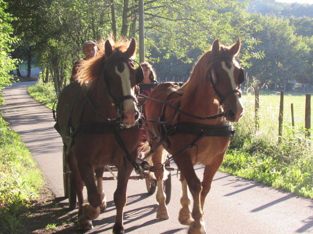
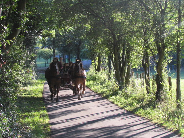
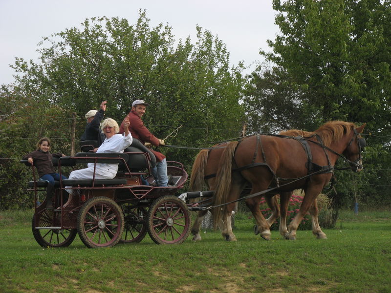
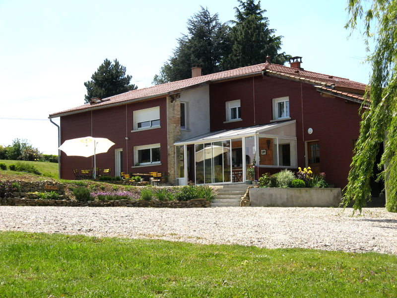
Une belle journée en immersion dans la campagne iséroise au départ du gîte équestre La Ferraz. Patricia et Michel ont des chevaux, ils attellent, ils connaissent bien les chemins autour de chez eux. Prévenez-les de votre venue !
The characteristics of the route.

La Chapelle-de-Surieu (38)
- Distance 29.6 km
- Elevation gain 590 m
- Elevation lost 590 m
- Min. elevation 230 m
- Max. elevation. 426 m
- Duration (depending on pace) 6h
- Marking Yes
Area : Entre Bièvre et Rhône
Report a problem
Features of the application :
- Location and orientation on detailed maps thanks to the GPS of your smartphone
- Description of routes and points of interest on the route
- Photo gallery by route
- Detailed elevation profile
- Route tracking alert to warn you if you stray from the route
- Send predefined messages by SMS to your contacts
- Emergency module: trigger a call or send an emergency SMS in case of problem
- Agenda: access to events organized in the department
- News: find in the application the latest news on the web portal
- Adding achievements
- Add reports in case of problems encountered on the routes
- Share on social networks
Add your time and share your feelings
Services nearby

Espace naturel sensible de la Salette
Bellegarde-Poussieu

Castle of Jarcieu
Jarcieu

Maison du Patrimoine
Roussillon
Bureau d'Information Touristique de Saint Maurice l'Exil
Saint-Maurice-l'Exil
La Villa de Licinius
Clonas-sur-Varèze


Follow us on
the digital trails
the digital trails


![]()
The Isère Outdoor application was created
by the Département de l'Isère
Infos & contact
Conseil départemental de l'Isère
7 rue Fantin Latour
CS 41096
38 022 Grenoble cedex 1
Tel. 04 76 00 38 38
 Isère Outdoor - Parcours - Balade bucolique en Pays Roussillonnais
Hello, world! This is a toast message.
Isère Outdoor - Parcours - Balade bucolique en Pays Roussillonnais
Hello, world! This is a toast message.
Isère Outdoor - Parcours - Balade bucolique en Pays Roussillonnais
Hello, world! This is a toast message.


OK
Annuler