Pique nique au lac de St Sixte
Add to my favorites

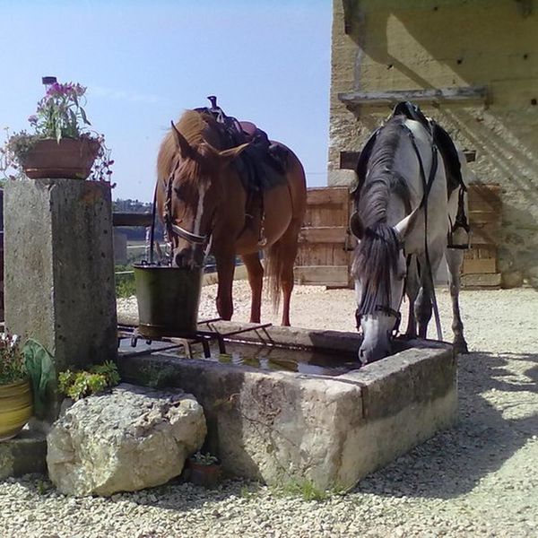
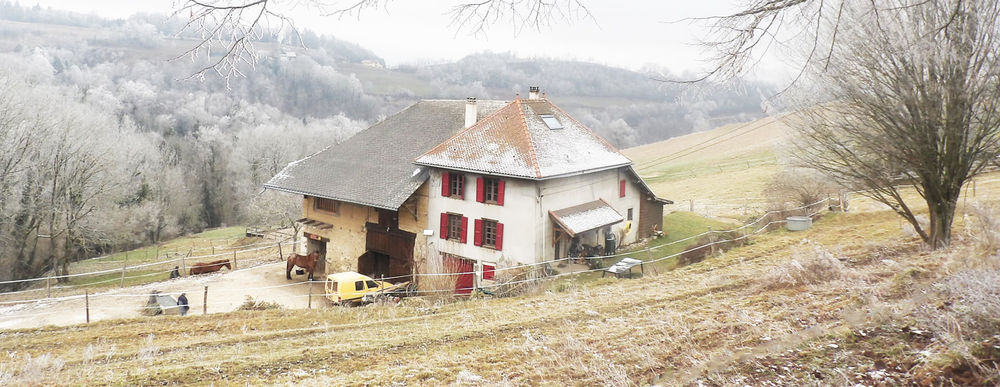
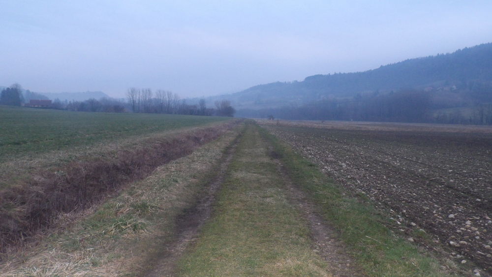
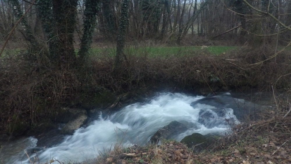
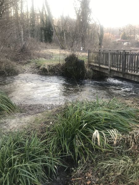
Au départ du gîte d'étape "Le Palefroi de Merlas", une boucle à la journée avec un superbe galop le long du ruisseau de L'Ainan, vous conduira jusqu'au Lac de St Sixte pour un pique-nique au bord de l'eau.
The characteristics of the route.

Merlas (38)
- Distance 24.3 km
- Elevation gain 900 m
- Elevation lost 900 m
- Min. elevation 402 m
- Max. elevation. 886 m
- Duration (depending on pace) 6h
- Marking Yes
Equipments : Car park,
Area : Pays Voironnais
Report a problem
Features of the application :
- Location and orientation on detailed maps thanks to the GPS of your smartphone
- Description of routes and points of interest on the route
- Photo gallery by route
- Detailed elevation profile
- Route tracking alert to warn you if you stray from the route
- Send predefined messages by SMS to your contacts
- Emergency module: trigger a call or send an emergency SMS in case of problem
- Agenda: access to events organized in the department
- News: find in the application the latest news on the web portal
- Adding achievements
- Add reports in case of problems encountered on the routes
- Share on social networks
Add your time and share your feelings
Services nearby

Espace Naturel Sensible des Tourbières de l'Herretang
Saint-Laurent-du-Pont

Relais Cyné de Montferrat
Montferrat

Pégoud Museum
Montferrat

Coeur de Chartreuse Tourist Information center at Saint Laurent du Pont
Saint-Laurent-du-Pont
Mainssieux Museum
Voiron


Information updated on 2022-01-27 by Isère Cheval Vert


Follow us on
the digital trails
the digital trails


![]()
The Isère Outdoor application was created
by the Département de l'Isère
Infos & contact
Conseil départemental de l'Isère
7 rue Fantin Latour
CS 41096
38 022 Grenoble cedex 1
Tel. 04 76 00 38 38
 Isère Outdoor - Parcours - Pique nique au lac de St Sixte
Hello, world! This is a toast message.
Isère Outdoor - Parcours - Pique nique au lac de St Sixte
Hello, world! This is a toast message.
Isère Outdoor - Parcours - Pique nique au lac de St Sixte
Hello, world! This is a toast message.


OK
Annuler