Boucle Balcons de Belledonne
Add to my favorites

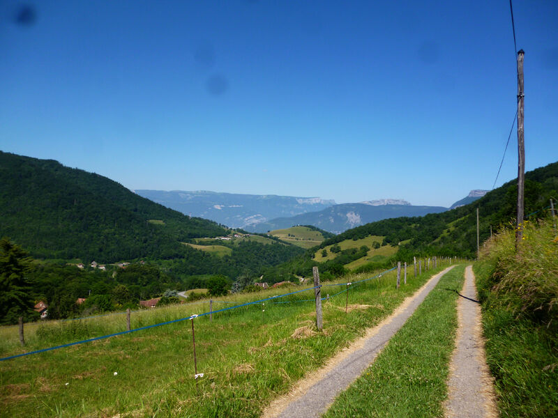
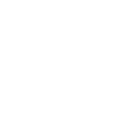
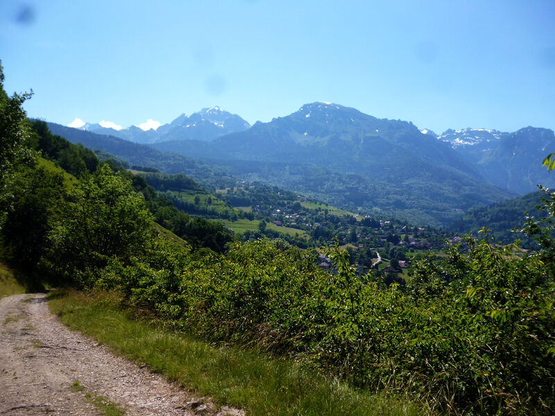
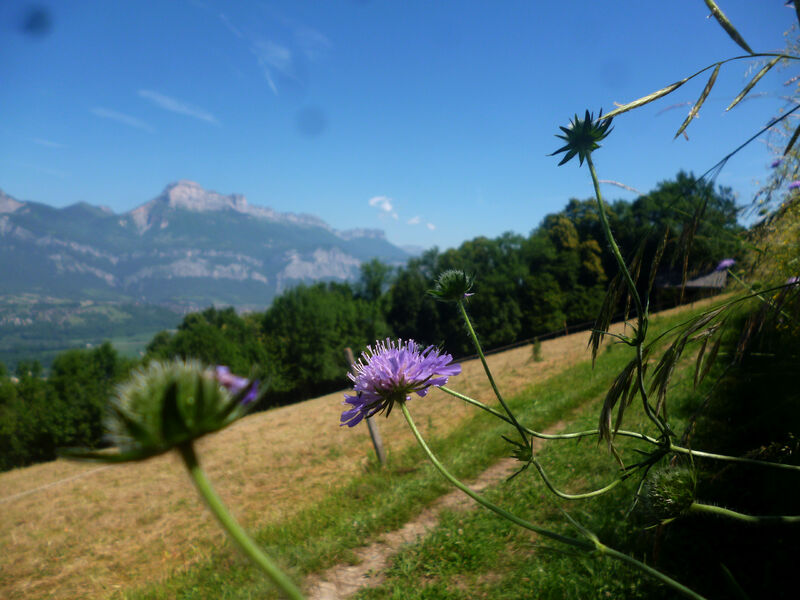
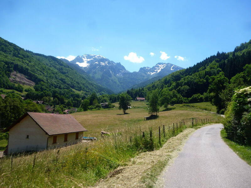
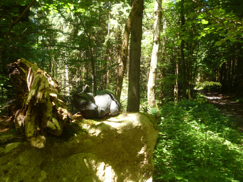
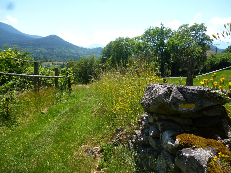
Belledonne, la Chartreuse, le Vercors, la plaine de Grenoble et même par temps clair les Bauges, cet itinéraire ne vous fera pas regretter d'avoir pris un peu de hauteur.
The characteristics of the route.
Revel (38)
- Distance 16.1 km
- Elevation gain 680 m
- Elevation lost 680 m
- Min. elevation 455 m
- Max. elevation. 918 m
- Duration (depending on pace) 5h
- Marking Yes
Area : Grésivaudan
Report a problem
Features of the application :
- Location and orientation on detailed maps thanks to the GPS of your smartphone
- Description of routes and points of interest on the route
- Photo gallery by route
- Detailed elevation profile
- Route tracking alert to warn you if you stray from the route
- Send predefined messages by SMS to your contacts
- Emergency module: trigger a call or send an emergency SMS in case of problem
- Agenda: access to events organized in the department
- News: find in the application the latest news on the web portal
- Adding achievements
- Add reports in case of problems encountered on the routes
- Share on social networks
Add your time and share your feelings
Services nearby

Espace naturel sensible du Bois de la Batie
Saint-Ismier

Office Thermal et Touristique d'Uriage-les-Bains
Saint-Martin-d'Uriage

Gîte d'Alpage Le Pré du Molard
Laval

Maison Bergès
Villard-Bonnot
La Combe de Lancey Museum
La Combe-de-Lancey


Information updated on 2021-06-22 by Isère Cheval Vert


Follow us on
the digital trails
the digital trails


![]()
The Isère Outdoor application was created
by the Département de l'Isère
Infos & contact
Conseil départemental de l'Isère
7 rue Fantin Latour
CS 41096
38 022 Grenoble cedex 1
Tel. 04 76 00 38 38
 Isère Outdoor - Parcours - Boucle Balcons de Belledonne
Hello, world! This is a toast message.
Isère Outdoor - Parcours - Boucle Balcons de Belledonne
Hello, world! This is a toast message.
Isère Outdoor - Parcours - Boucle Balcons de Belledonne
Hello, world! This is a toast message.


OK
Annuler