Randonnée pédestre découverte de Saint-Quentin-Fallavier
Add to my favorites

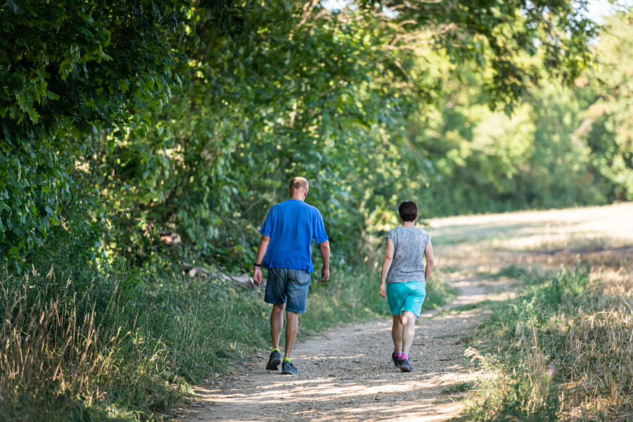
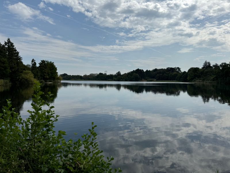
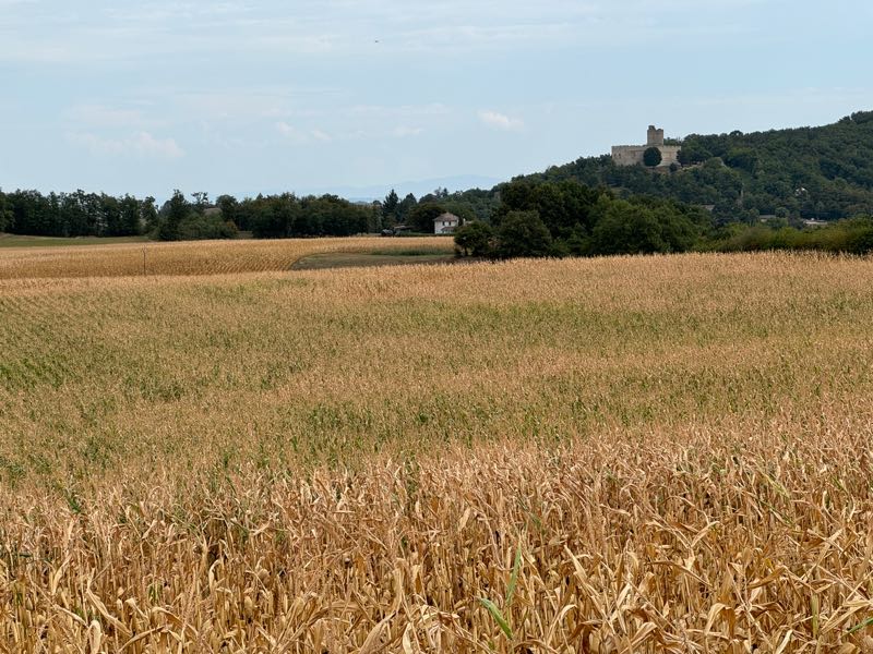
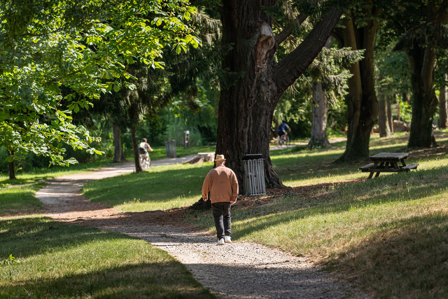
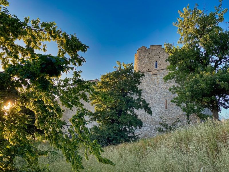
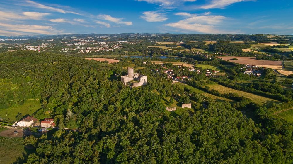
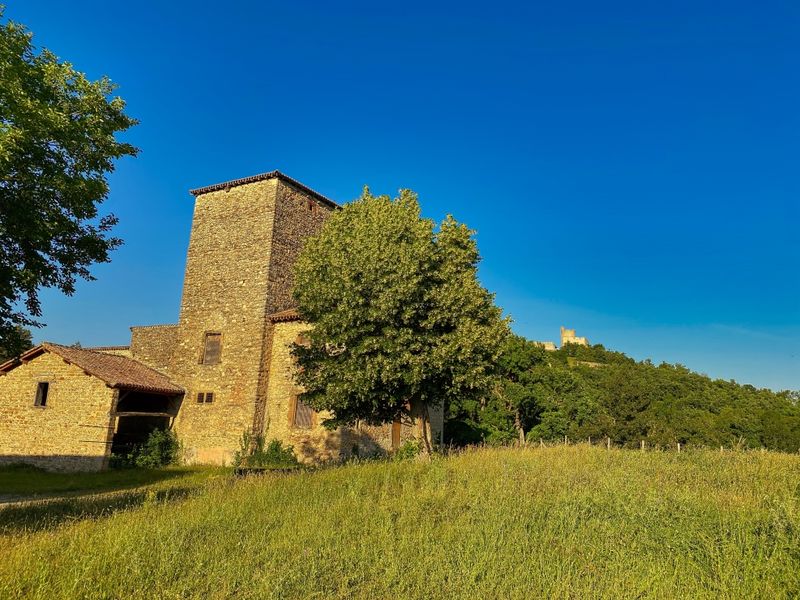
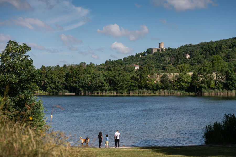
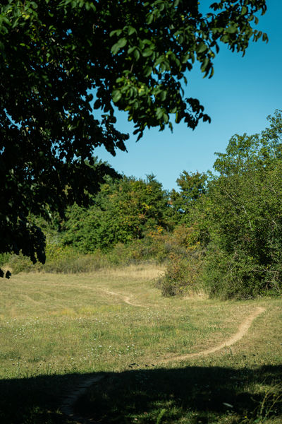
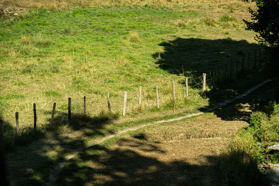
Jolie promenade au départ du Château de Fallavier vers l'étang et la campagne environnante.
The characteristics of the route.

Saint-Quentin-Fallavier (38)
- Distance 6.4 km
- Elevation gain 130 m
- Elevation lost 130 m
- Min. elevation 246 m
- Max. elevation. 324 m
- Duration (depending on pace) 2h
- Marking Yes
Equipments : Car park, Admission fee : Free access.Opening : All year round.
Area : Porte de l'Isère
Report a problem
Website Features of the application :
- Location and orientation on detailed maps thanks to the GPS of your smartphone
- Description of routes and points of interest on the route
- Photo gallery by route
- Detailed elevation profile
- Route tracking alert to warn you if you stray from the route
- Send predefined messages by SMS to your contacts
- Emergency module: trigger a call or send an emergency SMS in case of problem
- Agenda: access to events organized in the department
- News: find in the application the latest news on the web portal
- Adding achievements
- Add reports in case of problems encountered on the routes
- Share on social networks
BenBJ
finished in 01:35:00
The 2024/09/01
En savoir plus
Ajouter votre chrono et partager vos sensations
Services nearby

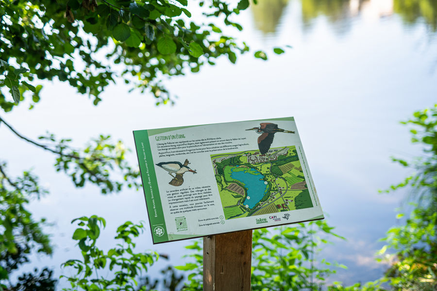
Espace naturel sensible de l'étang de Fallavier et Vallon du Layet
Saint-Quentin-Fallavier

Musée de La Vie Rurale
Saint-Quentin-Fallavier

Office de Tourisme CAPI Porte de l'Isère
Bourgoin-Jallieu
Musée de Bourgoin-Jallieu
Bourgoin-Jallieu
Mineralogica - The mineral museum
Villemoirieu


Information updated on 2025-01-28 by Office de Tourisme CAPI - Porte de l'Isère


Follow us on
the digital trails
the digital trails


![]()
The Isère Outdoor application was created
by the Département de l'Isère
Infos & contact
Conseil départemental de l'Isère
7 rue Fantin Latour
CS 41096
38 022 Grenoble cedex 1
Tel. 04 76 00 38 38
 Isère Outdoor - Parcours - Randonnée pédestre découverte de Saint-Quentin-Fallavier
Hello, world! This is a toast message.
Isère Outdoor - Parcours - Randonnée pédestre découverte de Saint-Quentin-Fallavier
Hello, world! This is a toast message.
Isère Outdoor - Parcours - Randonnée pédestre découverte de Saint-Quentin-Fallavier
Hello, world! This is a toast message.


OK
Annuler