De Clelles à Longefonds
Add to my favorites

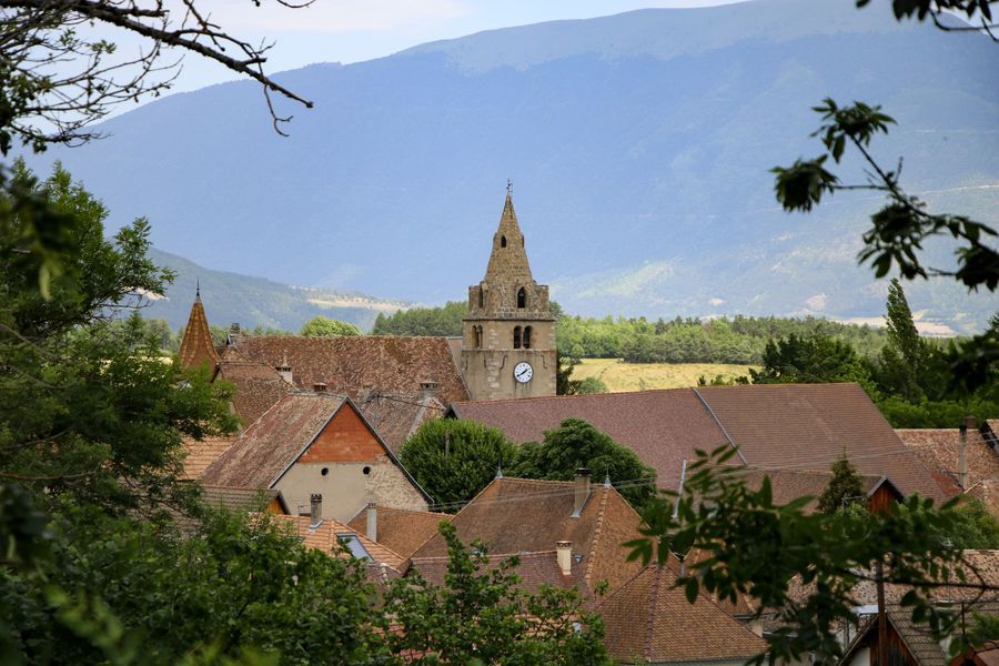
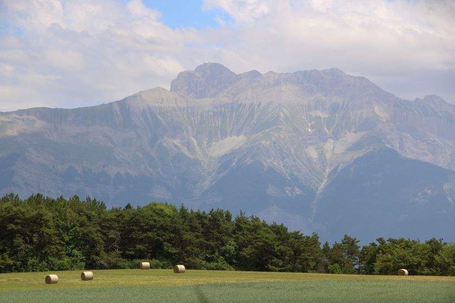
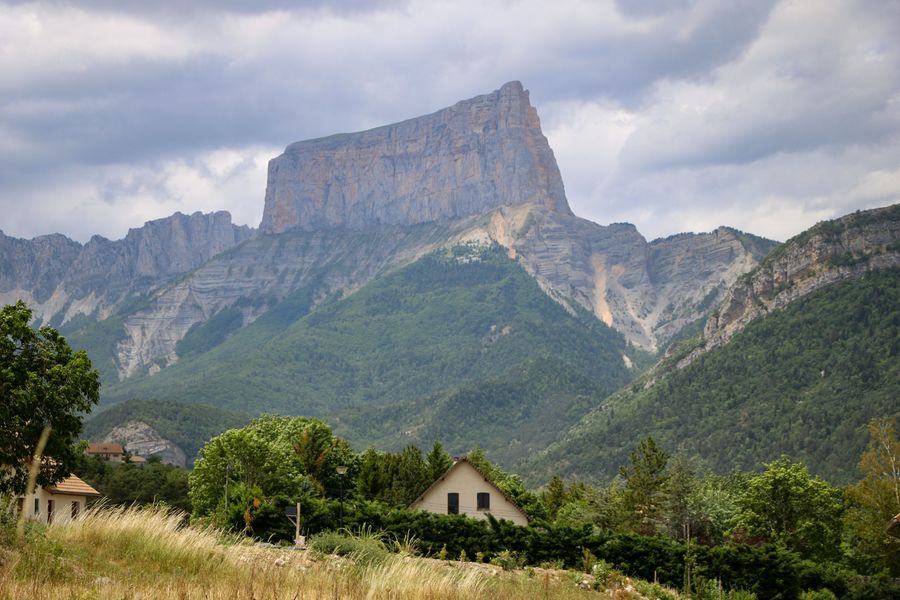
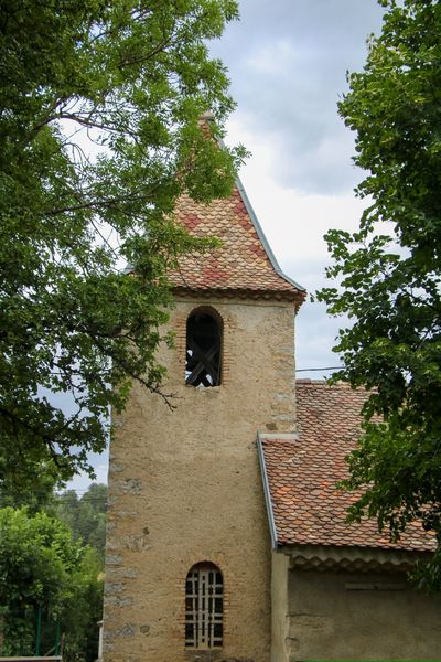
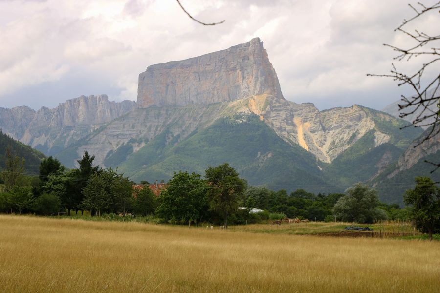
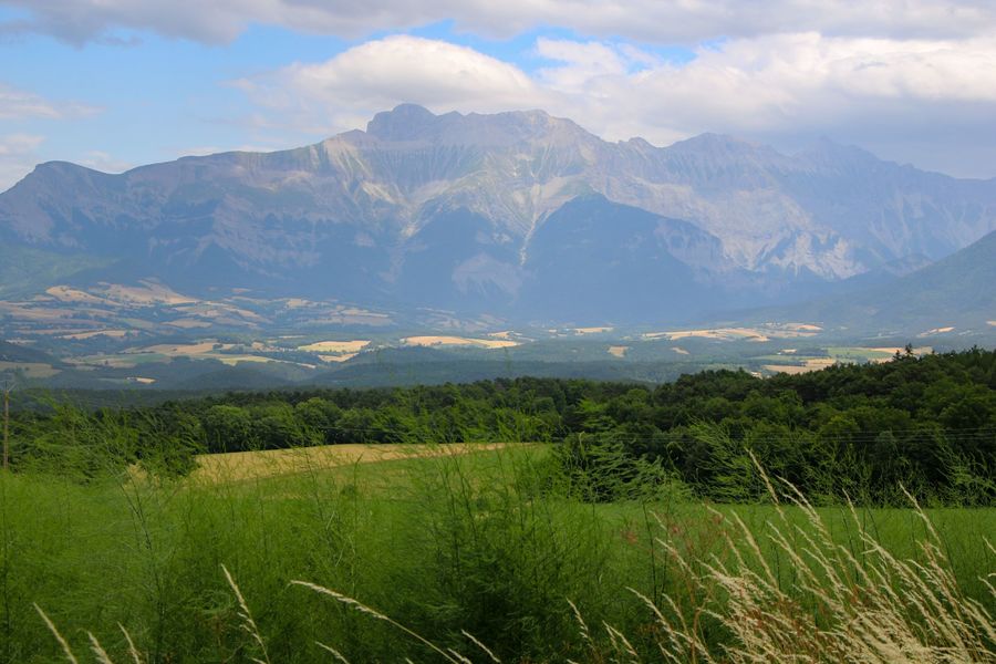
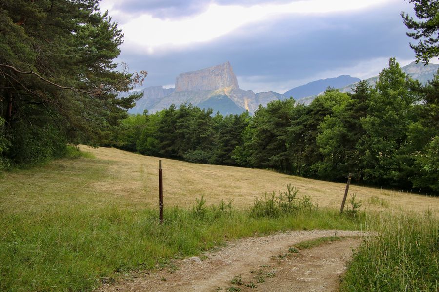
Une petite boucle pour découvrir les environs de Clelles. Profitez des belles vues sur le Mont Aiguille à travers les champs de blés. Vous découvrirez les nombreuses richesses patrimoniales du Trièves.
The characteristics of the route.

Clelles (38)
- Distance 5.3 km
- Elevation gain 150 m
- Elevation lost 150 m
- Min. elevation 739 m
- Max. elevation. 817 m
- Duration (depending on pace) 2h
- Marking Yes
Equipments : Car park, Charging stations for electric vehicles, Free car park, Admission fee : Free access.Opening : All year round.
Subject to favorable weather.
Area : Trièves
Report a problem
Website Features of the application :
- Location and orientation on detailed maps thanks to the GPS of your smartphone
- Description of routes and points of interest on the route
- Photo gallery by route
- Detailed elevation profile
- Route tracking alert to warn you if you stray from the route
- Send predefined messages by SMS to your contacts
- Emergency module: trigger a call or send an emergency SMS in case of problem
- Agenda: access to events organized in the department
- News: find in the application the latest news on the web portal
- Adding achievements
- Add reports in case of problems encountered on the routes
- Share on social networks
Add your time and share your feelings
Services nearby

Point d'information Chichilianne
Chichilianne

Foyer nordique de Chichilianne
Chichilianne

Espace Giono
Lalley
Bureau d'Informations Touristiques de Gresse en Vercors - Office de Tourisme du Trièves
Gresse-en-Vercors
Foyer nordique de Gresse-en-Vercors
Gresse-en-Vercors


Information updated on 2022-10-14 by Office de Tourisme du Trièves


Follow us on
the digital trails
the digital trails


![]()
The Isère Outdoor application was created
by the Département de l'Isère
Infos & contact
Conseil départemental de l'Isère
7 rue Fantin Latour
CS 41096
38 022 Grenoble cedex 1
Tel. 04 76 00 38 38
 Isère Outdoor - Parcours - De Clelles à Longefonds
Hello, world! This is a toast message.
Isère Outdoor - Parcours - De Clelles à Longefonds
Hello, world! This is a toast message.
Isère Outdoor - Parcours - De Clelles à Longefonds
Hello, world! This is a toast message.


OK
Annuler