Le Ménil depuis le Col de Mens
Add to my favorites

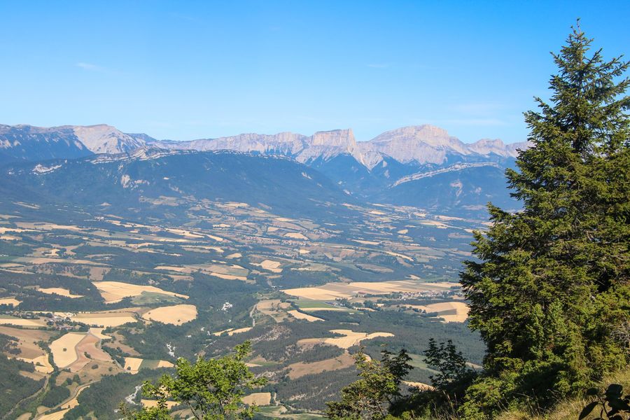
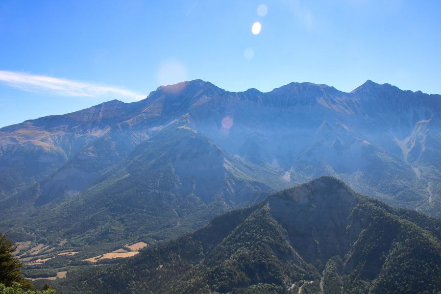
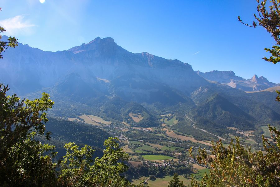
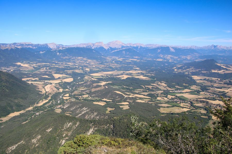
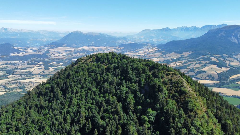
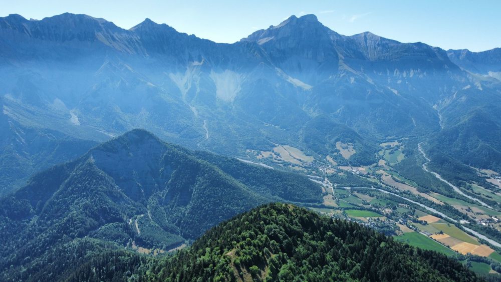
Take a refreshing hike through the magnificent Ménil forest. Once at the top of the mountain, you'll enjoy a panoramic view of the Trièves.
The characteristics of the route.

Tréminis (38)
- Distance 8 km
- Elevation gain 580 m
- Elevation lost 580 m
- Min. elevation 1104 m
- Max. elevation. 1566 m
- Duration (depending on pace) 3h
- Marking Yes
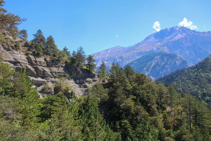
Take the start of a pleasant hike through magnificent forests! This beautiful loop allows you to discover one of the Trièves' emblematic peaks. From the top of its 1,568 meters, you'll find a panoramic view of the Dévoluy peaks and the Vercors cliffs.Marking : Yellow line markings (PR)Delicate passages : Take care on the descent, potentially tricky sections in case of rain.Admission fee : Free access.Opening : All year round.Step by step description : Departure: Park at the "Col de Mens", with roadside parking available. If there's no more space, the hike can start from the center of Tréminis l'Eglise, near the town hall.
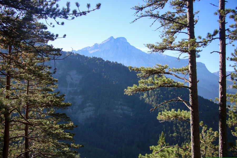
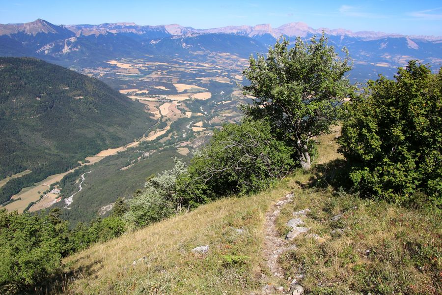
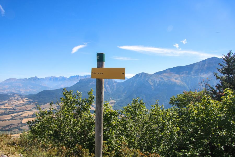
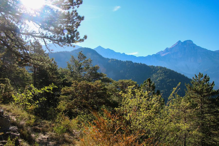
1) From the "Col de Mens", look for the signpost indicating Le Ménil at 1h30. Follow this direction up a wide path. Follow the signs, which will take you to the left a little further on. A slight descent takes you through the pine forest, with beautiful views to your left. The path curves upwards again to take you to the "Les Gerlats" signpost.
2) From "Les Gerlats", take the left-hand path towards "Replat de Ménil". This is the recommended route up to the summit. A pleasant path leads through the forest, giving you a gentle ascent to the next signpost "Replat de Ménil".
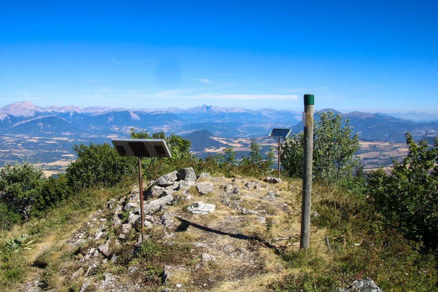
3) From "Le Replat de Ménil" follow the signs for "Ménil". From this sign, the climb becomes more complex, and a good slope takes you to the "Sous Ménil" sign. Take the path to the right to quickly reach the summit of Ménil after a few hairpin bends. From the summit you can enjoy panoramic views of the surrounding peaks, including the Dévoluy massif and the Vercors cliffs. You can even go as far as the viewpoint overlooking the village of Tréminis.
4) After your break at the summit of Le Ménil, you can start your descent. Follow the path you used on the way up to the "Sous Ménil" signpost. The relatively steep slope calls for a degree of caution. You'll soon reach the "Sous Ménil" signpost, where you follow the path to the right towards "Les Gerlats". The little path takes you up the wild north face of Le Ménil!
5) From the "Les Gerlats" signpost, follow the same path to "Col de Mens" as you did on the way up, to reach your starting point.
Area : Trièves
Report a problem
Website Pdf file Features of the application :
- Location and orientation on detailed maps thanks to the GPS of your smartphone
- Description of routes and points of interest on the route
- Photo gallery by route
- Detailed elevation profile
- Route tracking alert to warn you if you stray from the route
- Send predefined messages by SMS to your contacts
- Emergency module: trigger a call or send an emergency SMS in case of problem
- Agenda: access to events organized in the department
- News: find in the application the latest news on the web portal
- Adding achievements
- Add reports in case of problems encountered on the routes
- Share on social networks
Add your time and share your feelings
Services nearby

Foyer nordique de Tréminis
Tréminis

Point d'information touristique de Tréminis
Tréminis
Bureau d'Informations Touristiques de Mens - Office de Tourisme du Trièves
Mens

Trièves Museum
Mens
Espace Giono
Lalley


Information updated on 2025-02-12 by Office de Tourisme du Trièves


Follow us on
the digital trails
the digital trails





The Isère Outdoor application was created
by the Département de l'Isère
Infos & contact
Conseil départemental de l'Isère
7 rue Fantin Latour
CS 41096
38 022 Grenoble cedex 1
Tel. 04 76 00 38 38
 Isère Outdoor - Parcours - Le Ménil depuis le Col de Mens
Hello, world! This is a toast message.
Isère Outdoor - Parcours - Le Ménil depuis le Col de Mens
Hello, world! This is a toast message.
Isère Outdoor - Parcours - Le Ménil depuis le Col de Mens
Hello, world! This is a toast message.


OK
Annuler