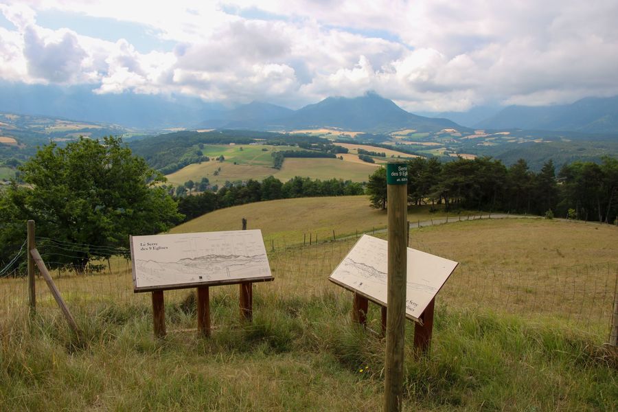
Serre des 9 églises
Add to my favorites

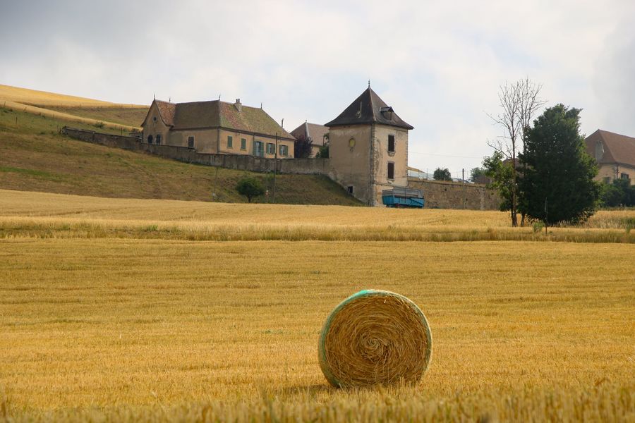
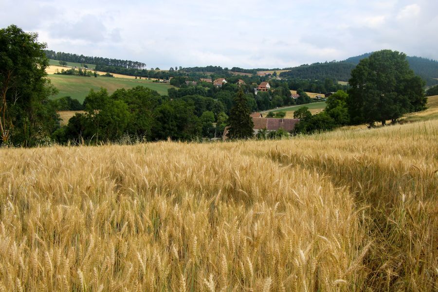
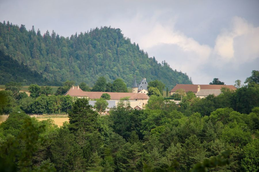
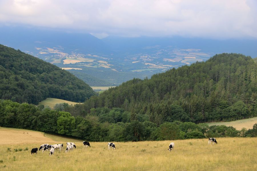
Lancez-vous dans une randonnée champêtre dans les environs de Cornillon en Trièves. Cette belle boucle vous permettra d'avoir une vue splendide sur le territoire du Trièves. Amusez-vous à compter le nombre de clochers visibles d'ici !
The characteristics of the route.

Cornillon-en-Trièves (38)
- Distance 8.6 km
- Elevation gain 300 m
- Elevation lost 300 m
- Min. elevation 713 m
- Max. elevation. 886 m
- Duration (depending on pace) 3h
- Marking Yes
Equipments : Car park, Free car park, Admission fee : Free access.Opening : All year round.
Area : Trièves
Report a problem
Website Pdf file Features of the application :
- Location and orientation on detailed maps thanks to the GPS of your smartphone
- Description of routes and points of interest on the route
- Photo gallery by route
- Detailed elevation profile
- Route tracking alert to warn you if you stray from the route
- Send predefined messages by SMS to your contacts
- Emergency module: trigger a call or send an emergency SMS in case of problem
- Agenda: access to events organized in the department
- News: find in the application the latest news on the web portal
- Adding achievements
- Add reports in case of problems encountered on the routes
- Share on social networks
Add your time and share your feelings
Services nearby

Musée du Trièves
Mens

Bureau d'Informations Touristiques de Mens - Office de Tourisme du Trièves
Mens
Point d'information du Môle (Lac de Monteynard-Avignonet)
Treffort
Espace Giono
Lalley
Museum "Musée Matheysin"
La Mure


Information updated on 2022-10-05 by Office de Tourisme du Trièves


Follow us on
the digital trails
the digital trails


![]()
The Isère Outdoor application was created
by the Département de l'Isère
Infos & contact
Conseil départemental de l'Isère
7 rue Fantin Latour
CS 41096
38 022 Grenoble cedex 1
Tel. 04 76 00 38 38
 Isère Outdoor - Parcours - Serre des 9 églises
Hello, world! This is a toast message.
Isère Outdoor - Parcours - Serre des 9 églises
Hello, world! This is a toast message.
Isère Outdoor - Parcours - Serre des 9 églises
Hello, world! This is a toast message.


OK
Annuler