Le Châtel en boucle
Add to my favorites

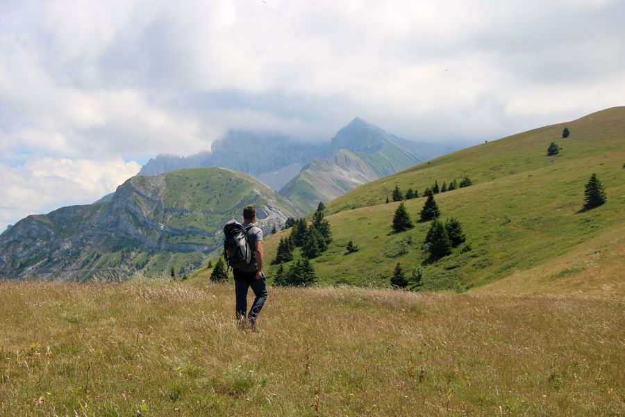
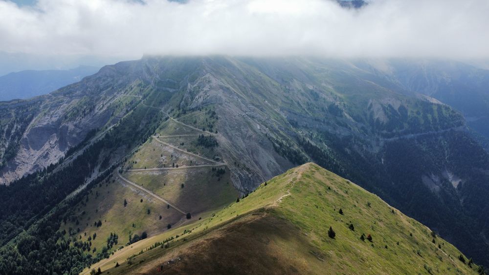
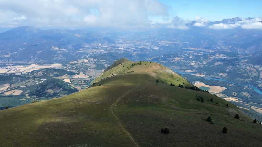
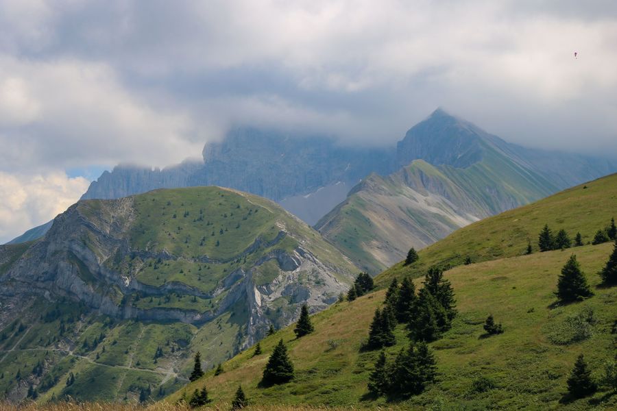
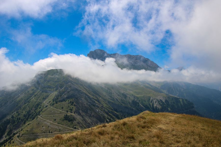
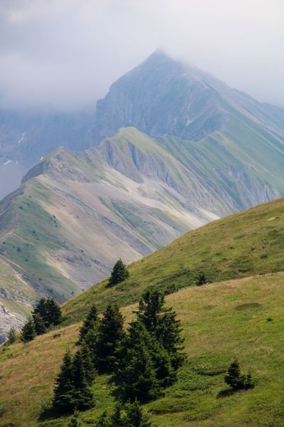
Set off on an emblematic hike offering panoramic views over the Trièves, Dévoluy and Écrins. The summit of Châtel is a large mountain pasture offering magnificent views of the Obiou and Dévoluy ranges.
The characteristics of the route.

Mens (38)
- Distance 8.5 km
- Elevation gain 680 m
- Elevation lost 680 m
- Min. elevation 1289 m
- Max. elevation. 1935 m
- Duration (depending on pace) 4h
- Marking Yes
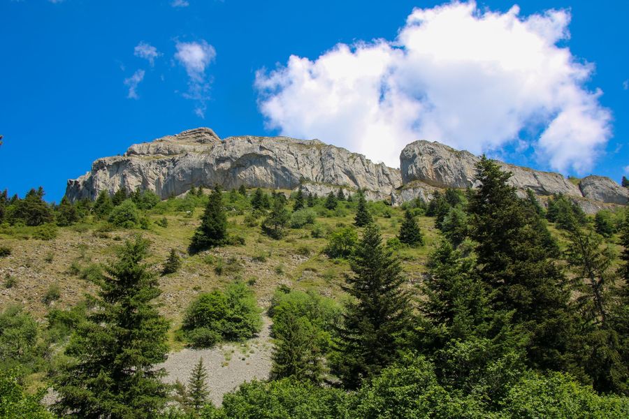
Le Châtel, also known as Bonnet de Calvin, is a challenging hike with vertiginous passages. The cliffs near the summit are home to many varieties of bird of prey. If you're lucky, you may come across vultures, eagles or falcons. This distinctive mountain can be seen from all over the Trièves. When you're at the top, you'll have a panoramic view of all the surrounding massifs. The perfect opportunity to take a day trip and enjoy a picnic with a magnificent view.Marking : Marked with yellow lines (PR)Equipments : Car park, Sustainable development, Outhouse, Free car park, Delicate passages : Vertiginous passages can pose problems for those afraid of heights.
There is also a passage where you need to use a cable.Admission fee : Free access.Opening : All year round daily.
Subject to favorable weather.Step by step description : Start: From the "Parking de Baret", start by following the path heading north, and you'll soon come across the first yellow post indicating "Le Châtel" at 3.4km. Follow this direction through the forest. You'll soon come to a post entitled "Grange de Châtel".
1) From "Grange de Châtel" continue on the track to the right, following the signs for "Baraque des Gardes". This forest track climbs slightly to the south.
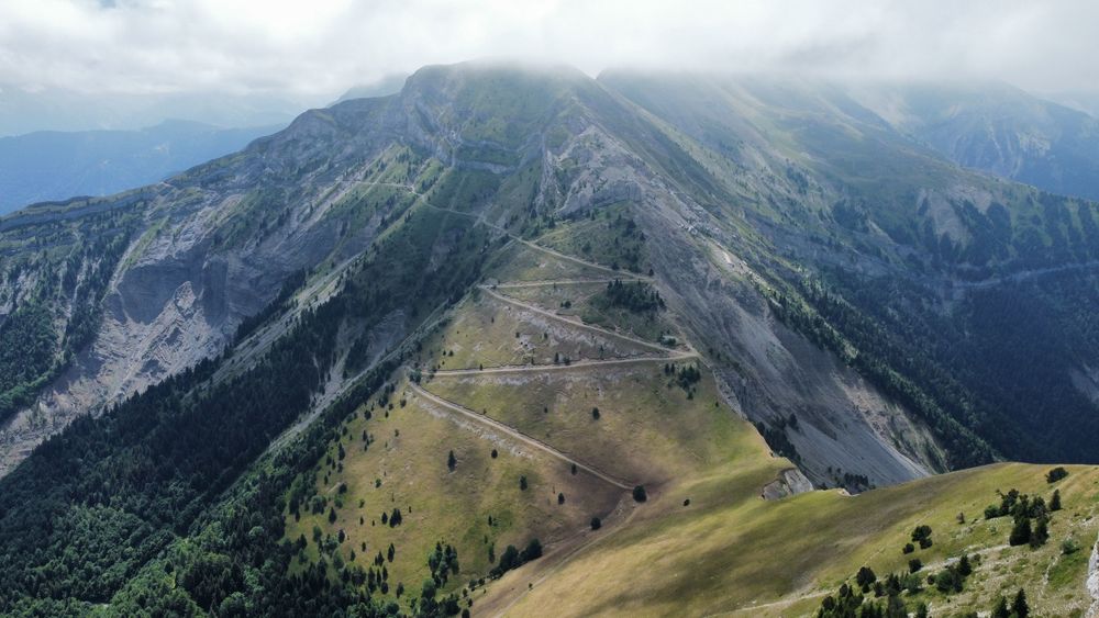
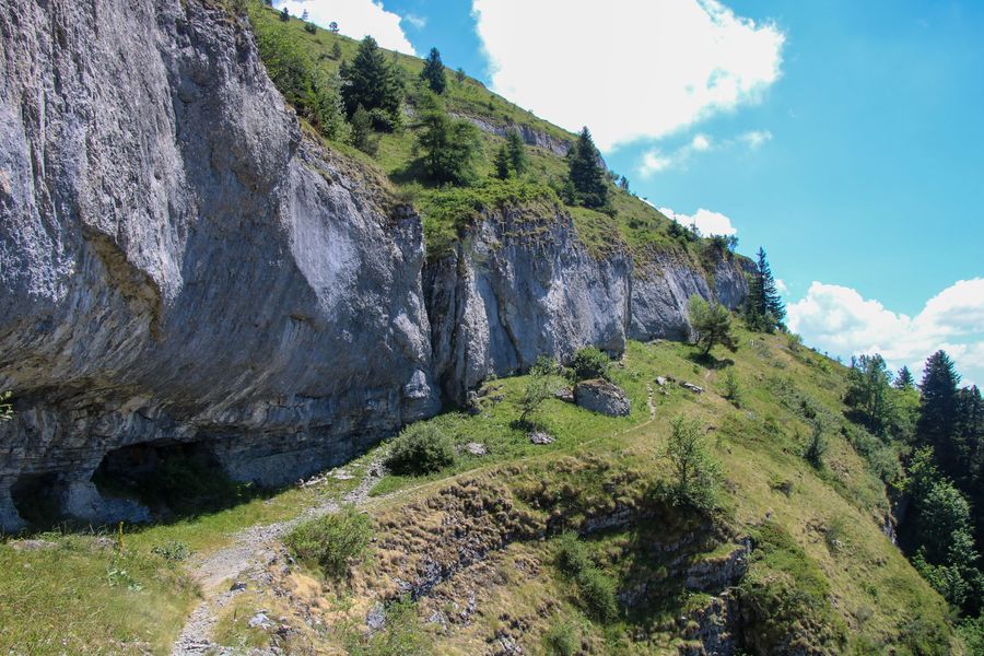
2) From "Baraque des Gardes" take the upward path towards Châtel, signposted at 1:25. There's a good climb with a succession of bends in the forest. As you leave the forest, the view opens up. A balcony path offers a magnificent view of the Dévoluy massif. Watch out for the precipice, though, as the path is narrow. The path climbs steadily until you reach the "Col de la Brèche".
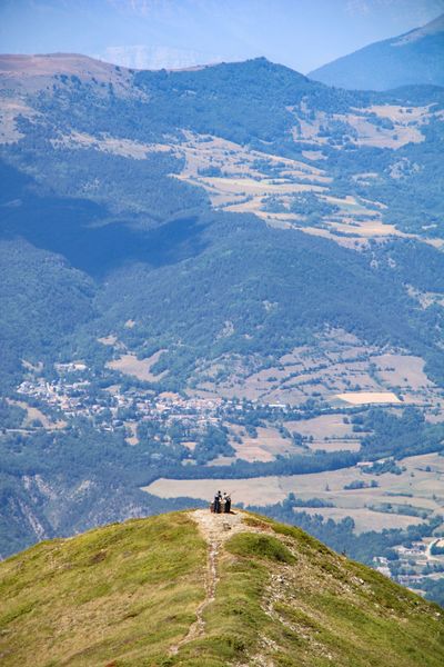
3) From "Col de la Brèche", continue towards "Châtel". The slope steepens slightly, and you'll come to a point where you'll need to use the cable - so be careful! You soon reach the highest point of Le Châtel, marked by a milestone. Enjoy the incredible view.
4) Continue along the path through the pasture to reach the "Châtel" post in the middle of the pasture. A short descent through the meadow takes you to the post. You have the option of continuing to the orientation table at the north end of the mountain. In this case, you'll have to make a 600-metre round trip.
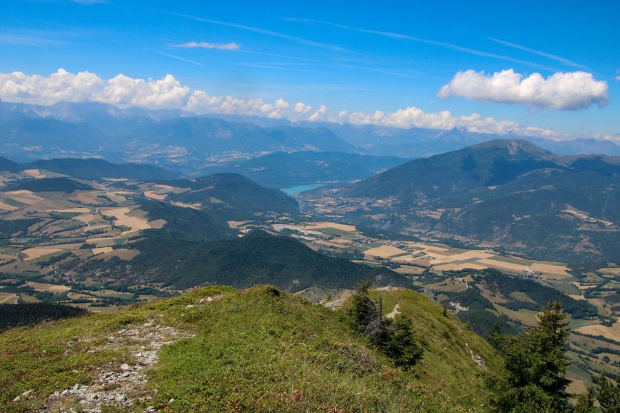
5) At the "Le Châtel" signpost, head for "Grange de Châtel" on the downhill path. The path passes through the middle of the Châtel cliffs. The descent offers lovely views of the Trièves just opposite, before rejoining the forest a little further down.
6) At the "Grange de Châtel" post, head for the Baret parking lot, which is only 1 km away. You'll arrive back at your car, which is in the Baret parking lot.
Area : Trièves
Report a problem
Website Pdf file Features of the application :
- Location and orientation on detailed maps thanks to the GPS of your smartphone
- Description of routes and points of interest on the route
- Photo gallery by route
- Detailed elevation profile
- Route tracking alert to warn you if you stray from the route
- Send predefined messages by SMS to your contacts
- Emergency module: trigger a call or send an emergency SMS in case of problem
- Agenda: access to events organized in the department
- News: find in the application the latest news on the web portal
- Adding achievements
- Add reports in case of problems encountered on the routes
- Share on social networks
Add your time and share your feelings
Services nearby

Bureau d'Informations Touristiques de Mens - Office de Tourisme du Trièves
Mens

Trièves Museum
Mens

Foyer nordique de Tréminis
Tréminis
Musée Matheysin
La Mure
Point d'information touristique de Tréminis
Tréminis


Information updated on 2026-09-09 by Office de Tourisme du Trièves


Follow us on
the digital trails
the digital trails





The Isère Outdoor application was created
by the Département de l'Isère
Infos & contact
Conseil départemental de l'Isère
7 rue Fantin Latour
CS 41096
38 022 Grenoble cedex 1
Tel. 04 76 00 38 38
 Isère Outdoor - Parcours - Le Châtel en boucle
Hello, world! This is a toast message.
Isère Outdoor - Parcours - Le Châtel en boucle
Hello, world! This is a toast message.
Isère Outdoor - Parcours - Le Châtel en boucle
Hello, world! This is a toast message.


OK
Annuler