Les sources de la Gresse
Add to my favorites

Caution! Zone of vigilance near the route
La Chau - du 10/06/2026 au 05/10/2026 In progress
Pierre Blanche - du 15/06/2026 au 15/09/2026 In progress
Le Brizou - du 15/06/2026 au 15/09/2026 In progress
Grande Cabane - du 15/06/2026 au 15/10/2026 In progress
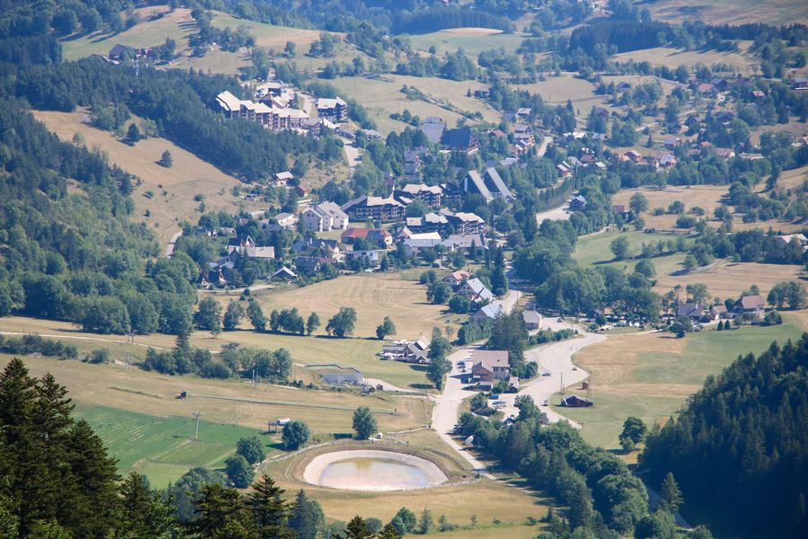
Start from the resort of Gresse-en-Vercors. This beautiful loop will allow you to discover the source of the famous stream that gave its name to the village, and to observe the Grand Veymont in all its forms.
The characteristics of the route.

Gresse-en-Vercors (38)
- Distance 9 km
- Elevation gain 700 m
- Elevation lost 700 m
- Min. elevation 1246 m
- Max. elevation. 1930 m
- Duration (depending on pace) 3h30
- Marking Yes
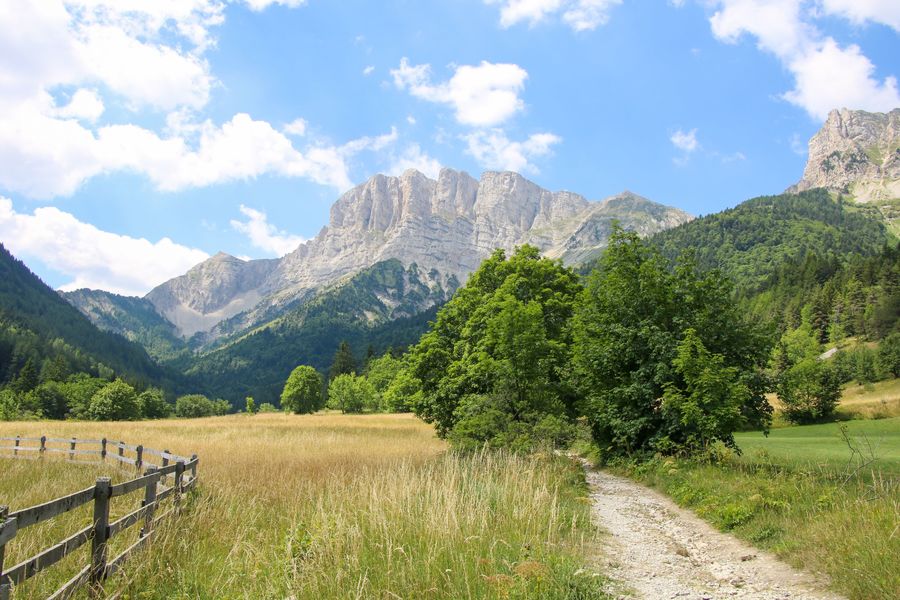
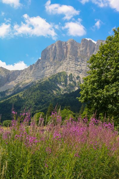
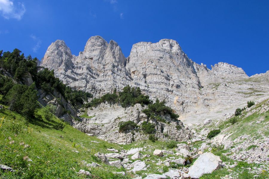
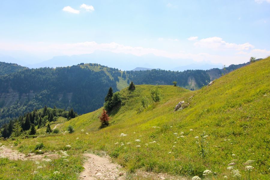
Come and enjoy a magnificent hike at the foot of the Grand Veymont at 2341 meters. As you pass through the forest, you'll soon come across a long balcony trail offering magical views of the Vercors massif. The loop continues with a passage to the Pas de la Ville, the highest point of your outing, where marmots and ibex are regularly spotted.Marking : Marked with yellow lines (PR)Equipments : Car park, Free car park, Delicate passages : Take care on the descent, potentially tricky sections in case of rain.Admission fee : Free access.Opening : All year round daily.
Subject to favorable snow and weather conditions.Step by step description : Departure: Park at the Champ de l'Herse parking lot in the commune of Gresse en Vercors. This parking lot is close to the Gresse en Vercors ski area.
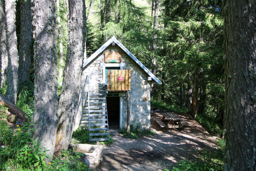
1) From the Champ de l'Herse parking lot, you can spot the yellow post in front of the road just after the little bridge, on the French Ski School side. Follow the signs for "Baraque du Veymont". To do this, follow the forest track and shortly afterwards (300m) you'll come across another yellow sign. Keep following the signs for "Baraque du Veymont", taking the small path that climbs slightly into the forest. Follow this path for a while, as it gradually rises to lead you to a new, wider track. You'll soon come to the Baraque du Veymont, a shelter in the forest.
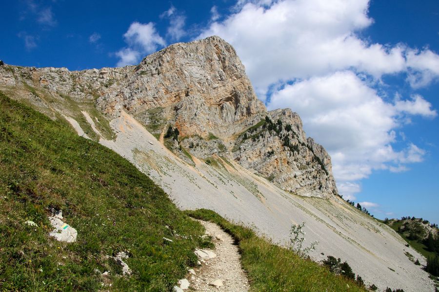
2) From the "Baraque du Veymont" sign, head in the direction of "Pas de la ville". The path you're about to take is exposed and offers magnificent views of the Vercors cliffs. It also offers a gradual ascent to the "Sous le pas de la ville" signpost. There are a few "talwegs" which require vigilance, especially with children.
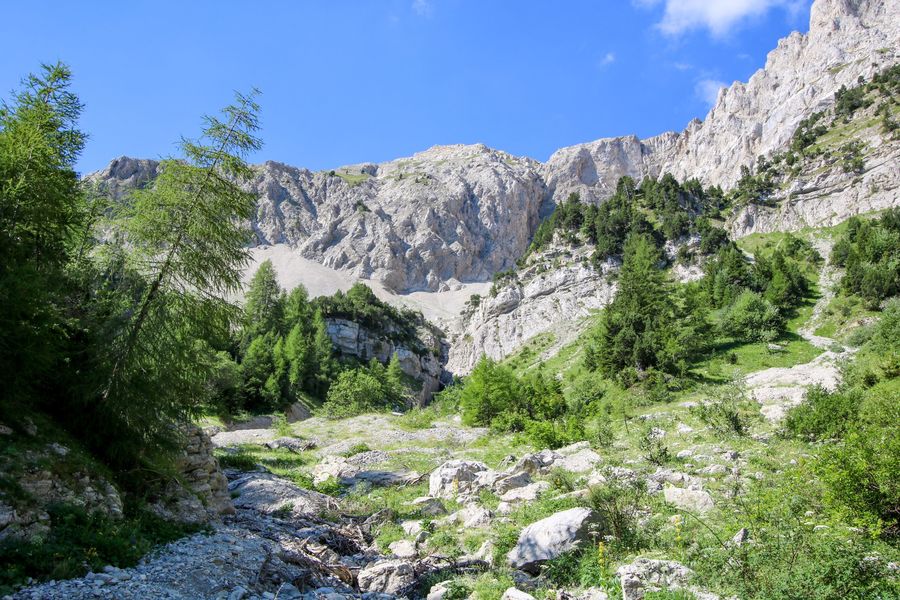
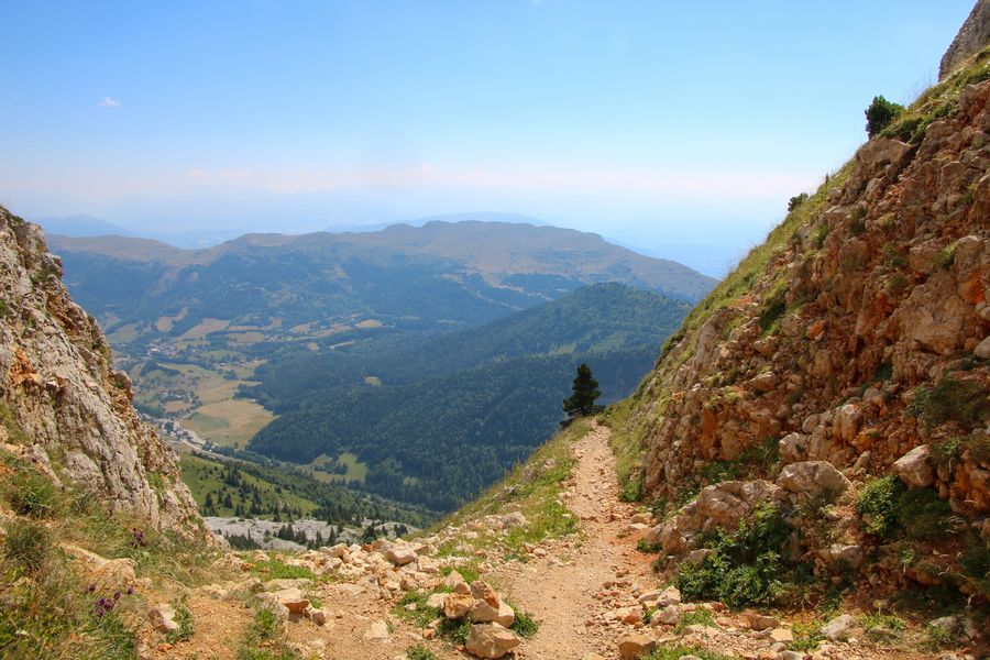
3) From "Sous le Pas de la Ville", continue uphill towards "Pas de la Ville". There's a good climb over stony ground.
Be sure to follow the signs, as several paths cross each other on the way up. You'll soon reach the Pas de la Ville, where you'll have a magnificent view of the Vercors and the Hauts-Plateaux Nature Reserve. Then turn around and head back down to the signpost "Sous le Pas de la Ville".
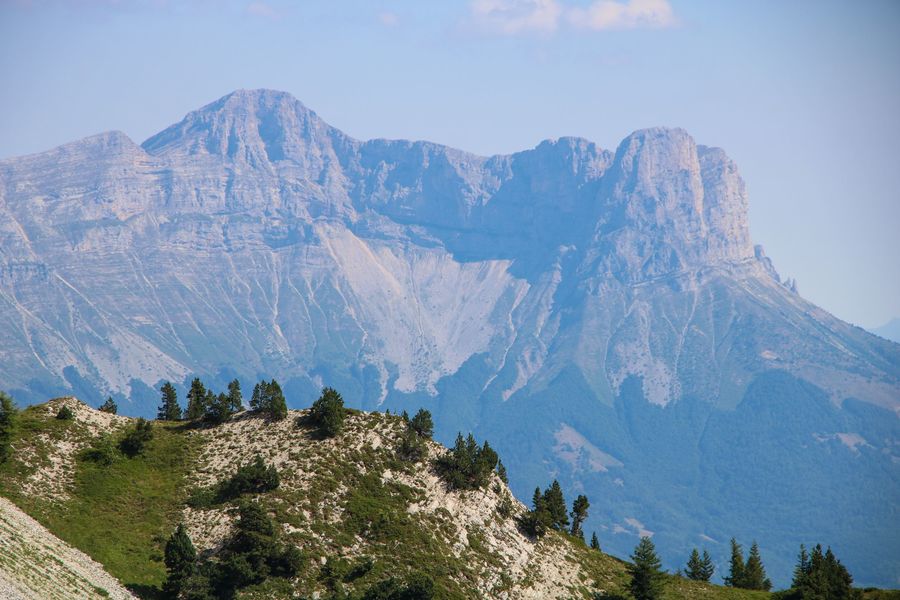
4) From "Sous le Pas de la Ville", continue downhill towards "Champ de l'Herse". Take care on the descent, as the path is stony and can be slippery. The descent continues for about 2 kilometers before you return to your car and enjoy the magnificent view of the Grand Veymont.
Area : Trièves
Report a problem
Website Pdf file Features of the application :
- Location and orientation on detailed maps thanks to the GPS of your smartphone
- Description of routes and points of interest on the route
- Photo gallery by route
- Detailed elevation profile
- Route tracking alert to warn you if you stray from the route
- Send predefined messages by SMS to your contacts
- Emergency module: trigger a call or send an emergency SMS in case of problem
- Agenda: access to events organized in the department
- News: find in the application the latest news on the web portal
- Adding achievements
- Add reports in case of problems encountered on the routes
- Share on social networks

jodela
The 2025/07/29
En savoir plus
Ajouter votre chrono et partager vos sensations
2025/07/29 jodela
2025/07/29 jodela
Services nearby

Foyer nordique de Gresse-en-Vercors
Gresse-en-Vercors

Point d'Information Touristique de Gresse en Vercors
Gresse-en-Vercors
Foyer nordique de Chichilianne
Chichilianne
Point d'information touristique de Chichilianne
Chichilianne
Point d'information touristique du Môle (Lac de Monteynard-Avignonet)
Treffort


Information updated on 2025-07-22 by Office de Tourisme du Trièves


Follow us on
the digital trails
the digital trails





The Isère Outdoor application was created
by the Département de l'Isère
Infos & contact
Conseil départemental de l'Isère
7 rue Fantin Latour
CS 41096
38 022 Grenoble cedex 1
Tel. 04 76 00 38 38
 Isère Outdoor - Parcours - Les sources de la Gresse
Hello, world! This is a toast message.
Isère Outdoor - Parcours - Les sources de la Gresse
Hello, world! This is a toast message.
Isère Outdoor - Parcours - Les sources de la Gresse
Hello, world! This is a toast message.


OK
Annuler