Le Pas de l'Aiguille
Add to my favorites

Caution! Zone of vigilance near the route
Aigle royal - du 01/01/2026 au 31/08/2026 In progress
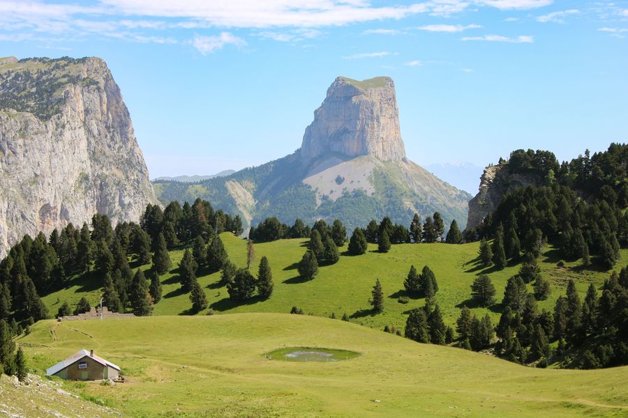
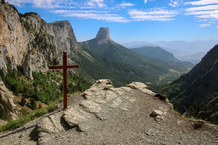
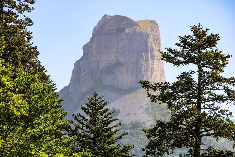
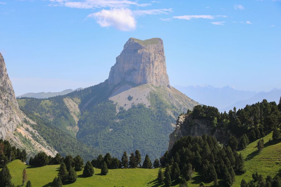
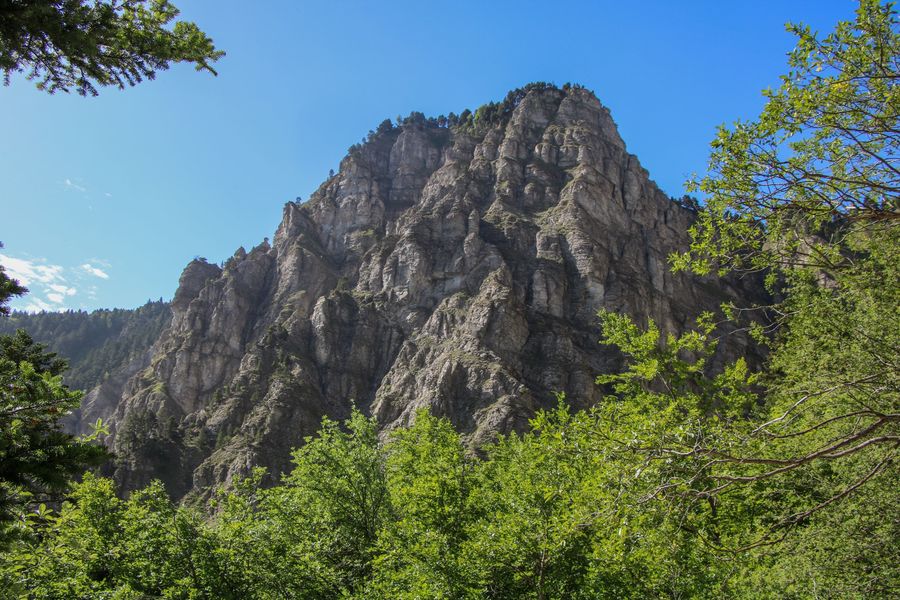
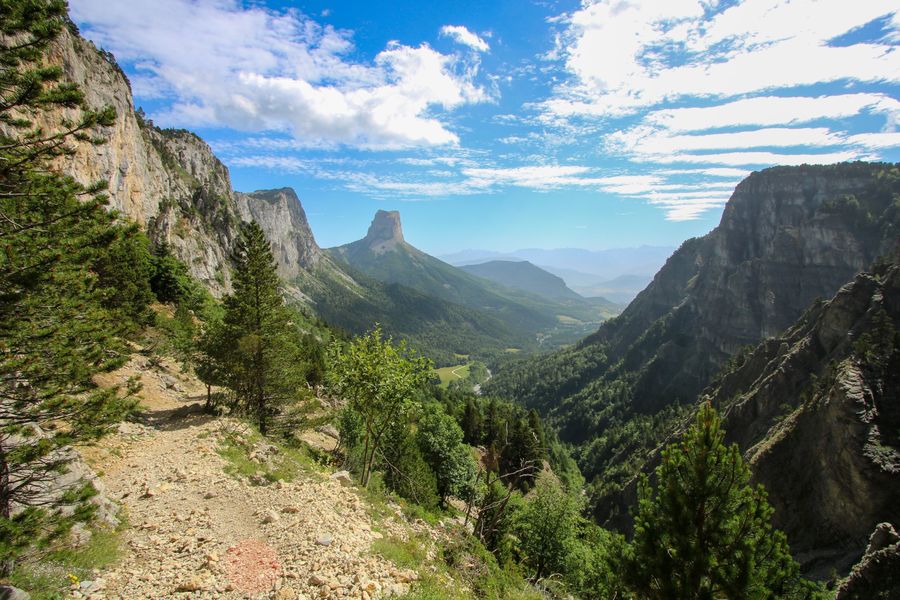
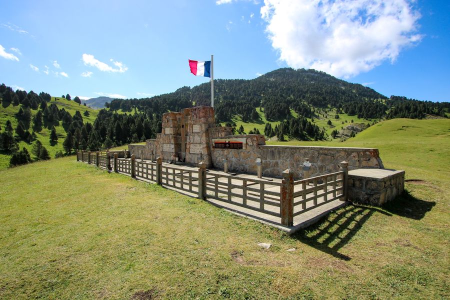
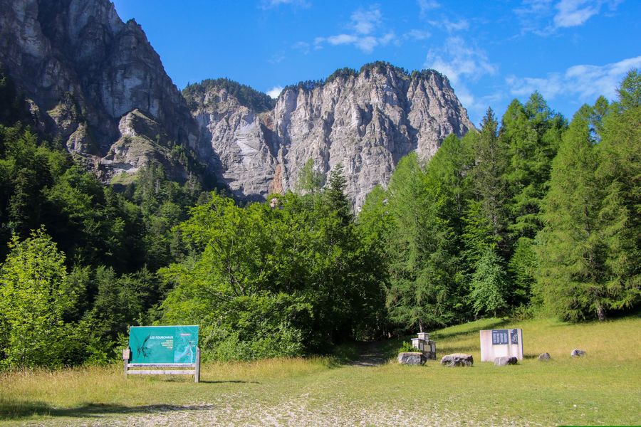
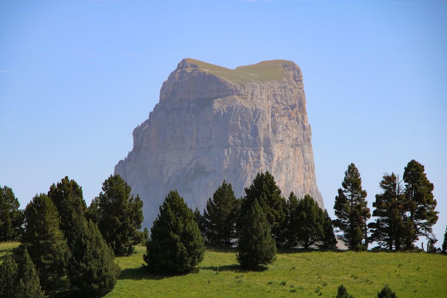
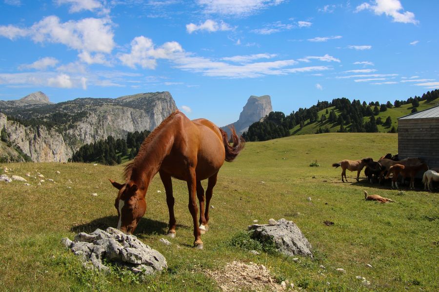
Partez pour une des randonnées emblématique du Trièves. Le Pas de l'Aiguille vous charmera pas sa vue splendide sur le Mont Aiguille, mais aussi par l'histoire du lieu qui fut le théâtre de combats durant la seconde guerre mondiale.
The characteristics of the route.

Chichilianne (38)
- Distance 8.5 km
- Elevation gain 600 m
- Elevation lost 600 m
- Min. elevation 1054 m
- Max. elevation. 1652 m
- Duration (depending on pace) 3h
- Marking Yes
Equipments : Car park, Free car park, Admission fee : Free access.Opening : All year round.
Area : Trièves
Report a problem
Website Pdf file Features of the application :
- Location and orientation on detailed maps thanks to the GPS of your smartphone
- Description of routes and points of interest on the route
- Photo gallery by route
- Detailed elevation profile
- Route tracking alert to warn you if you stray from the route
- Send predefined messages by SMS to your contacts
- Emergency module: trigger a call or send an emergency SMS in case of problem
- Agenda: access to events organized in the department
- News: find in the application the latest news on the web portal
- Adding achievements
- Add reports in case of problems encountered on the routes
- Share on social networks
Add your time and share your feelings
Services nearby

Foyer nordique de Chichilianne
Chichilianne

Point d'information Chichilianne
Chichilianne
Foyer nordique de Gresse-en-Vercors
Gresse-en-Vercors
Bureau d'Informations Touristiques de Gresse en Vercors - Office de Tourisme du Trièves
Gresse-en-Vercors

Espace Giono
Lalley


Information updated on 2022-11-21 by Office de Tourisme du Trièves


Follow us on
the digital trails
the digital trails


![]()
The Isère Outdoor application was created
by the Département de l'Isère
Infos & contact
Conseil départemental de l'Isère
7 rue Fantin Latour
CS 41096
38 022 Grenoble cedex 1
Tel. 04 76 00 38 38
 Isère Outdoor - Parcours - Le Pas de l'Aiguille
Hello, world! This is a toast message.
Isère Outdoor - Parcours - Le Pas de l'Aiguille
Hello, world! This is a toast message.
Isère Outdoor - Parcours - Le Pas de l'Aiguille
Hello, world! This is a toast message.


OK
Annuler