48 Le Sapin Bellier - rouge
Add to my favorites

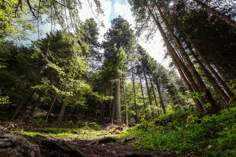
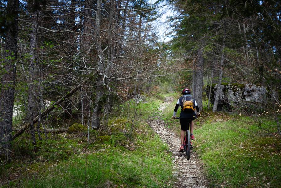
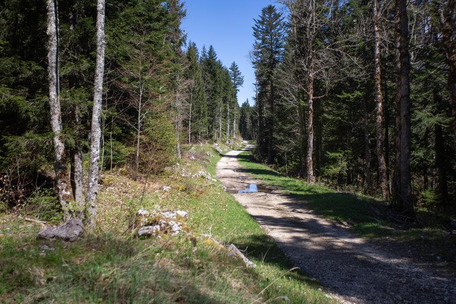
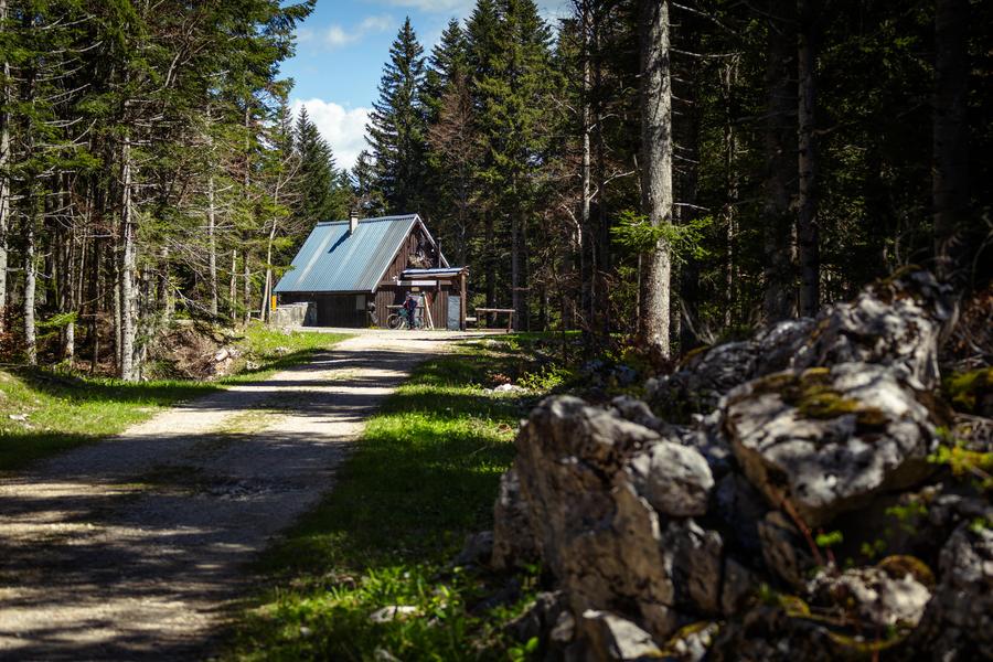
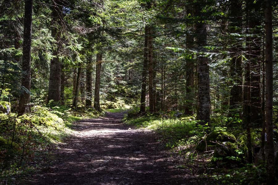
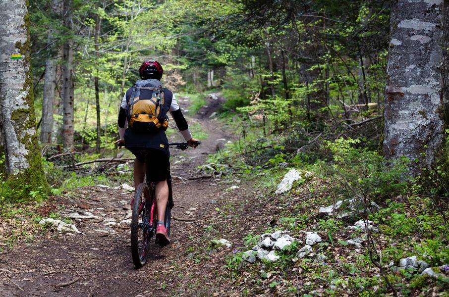
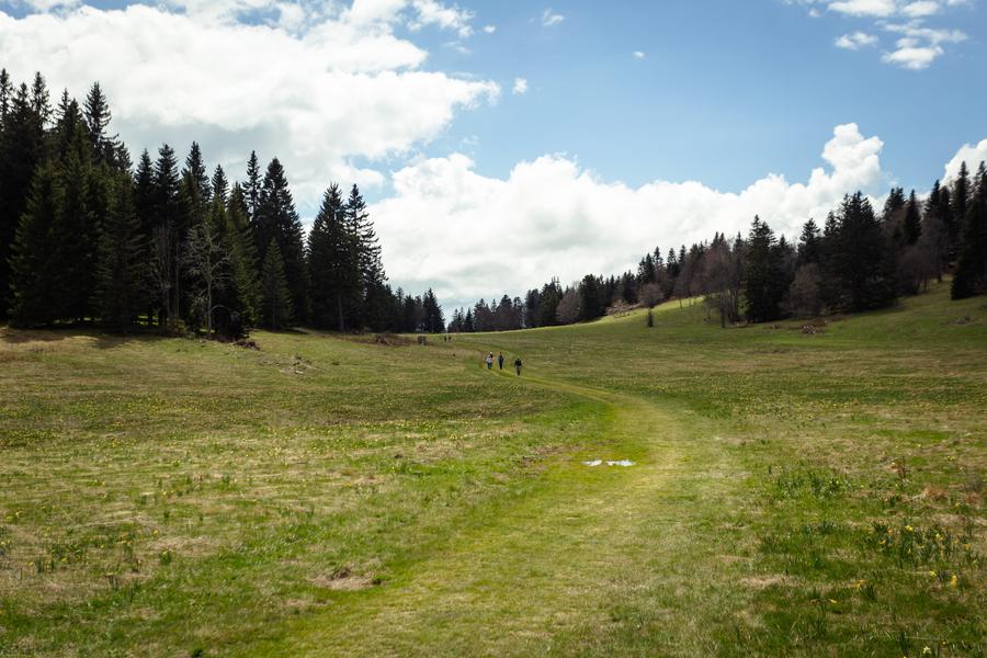
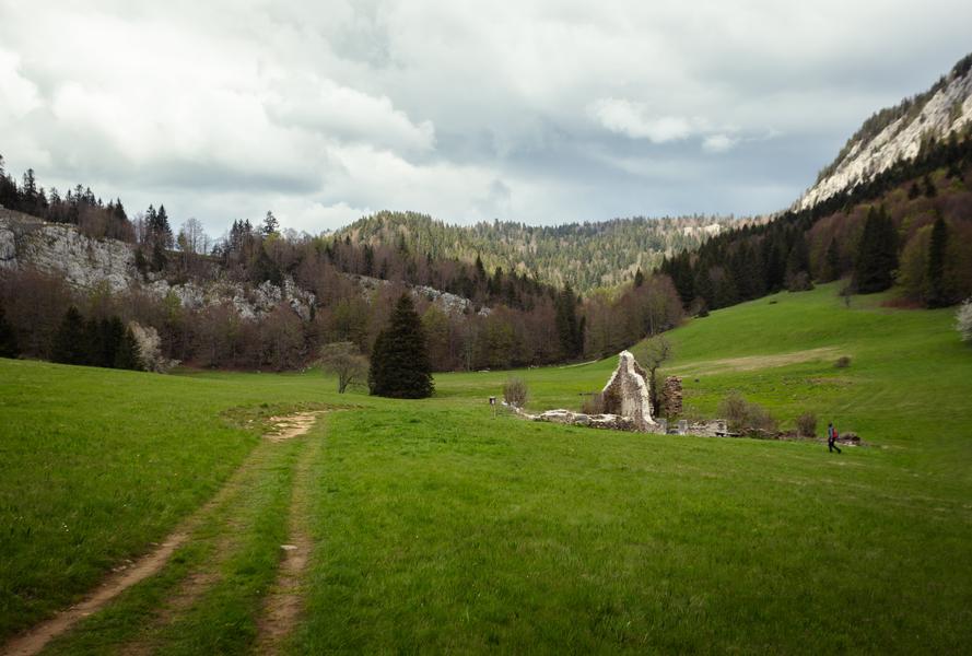
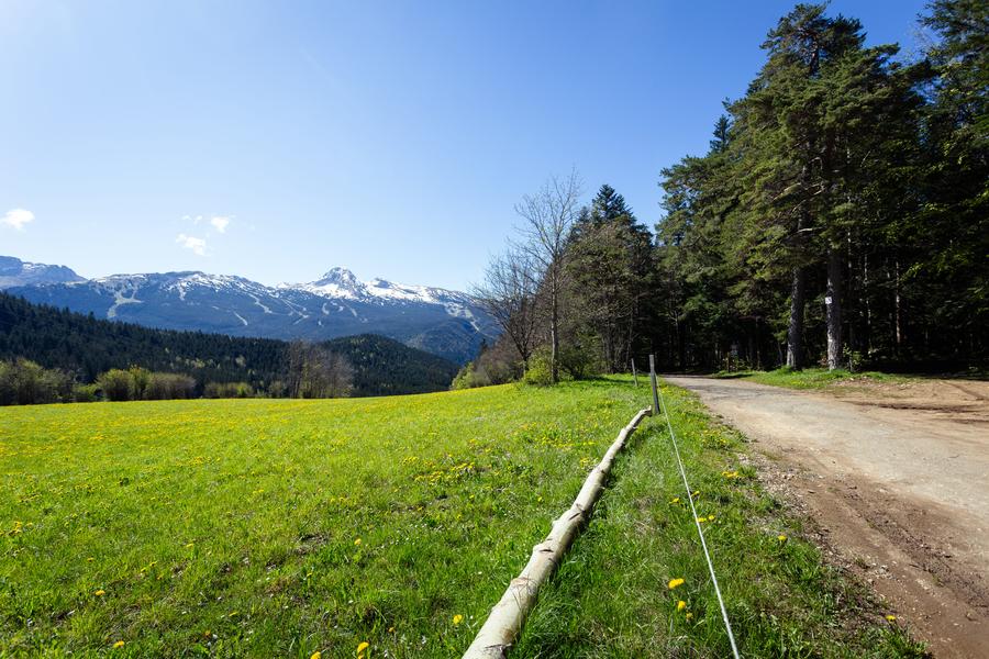
Un concentré de singles techniques et ludiques en forêt qui vous conduira jusqu’à la Plaine d’Herbouilly, haut lieu de la résistance en passant au pied du majestueux Sapin Bellier, âgé de 226 ans et qui porte le nom de “Son Forestier”.
The characteristics of the route.

Villard-de-Lans (38)
- Distance 27.2 km
- Elevation gain 940 m
- Elevation lost 940 m
- Min. elevation 1093 m
- Max. elevation. 1519 m
- Duration (depending on pace) 2h
- Marking Yes
Equipments : Free car park, Car park, Bar, Admission fee : Free access.Opening : From 15/03 to 01/12.
Subject to favorable snow and weather conditions.
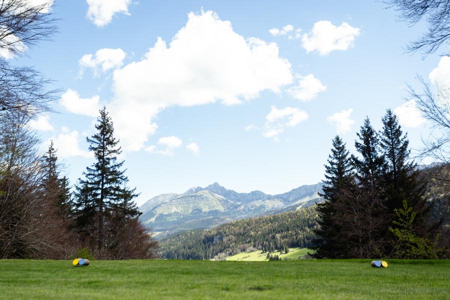
Area : Massif du Vercors
Report a problem
Website Pdf file Features of the application :
- Location and orientation on detailed maps thanks to the GPS of your smartphone
- Description of routes and points of interest on the route
- Photo gallery by route
- Detailed elevation profile
- Route tracking alert to warn you if you stray from the route
- Send predefined messages by SMS to your contacts
- Emergency module: trigger a call or send an emergency SMS in case of problem
- Agenda: access to events organized in the department
- News: find in the application the latest news on the web portal
- Adding achievements
- Add reports in case of problems encountered on the routes
- Share on social networks
Add your time and share your feelings
Services nearby

Office Municipal de Tourisme de Villard de Lans
Villard-de-Lans

Maison du Patrimoine
Villard-de-Lans

Foyer de ski de fond des Hauts Plateaux
Corrençon-en-Vercors

Auberge des Allières
Lans-en-Vercors
Refuge La Soldanelle
Château-Bernard


Information updated on 2024-11-05 by Office Municipal de Tourisme de Villard-de-Lans


Follow us on
the digital trails
the digital trails


![]()
The Isère Outdoor application was created
by the Département de l'Isère
Infos & contact
Conseil départemental de l'Isère
7 rue Fantin Latour
CS 41096
38 022 Grenoble cedex 1
Tel. 04 76 00 38 38
 Isère Outdoor - Parcours - 48 Le Sapin Bellier - rouge
Hello, world! This is a toast message.
Isère Outdoor - Parcours - 48 Le Sapin Bellier - rouge
Hello, world! This is a toast message.
Isère Outdoor - Parcours - 48 Le Sapin Bellier - rouge
Hello, world! This is a toast message.


OK
Annuler