Le lac du Lauvitel
Add to my favorites

Caution! Zone of vigilance near the route
La Muzelle - du 20/06/2026 au 05/10/2026 In progress
Route closed
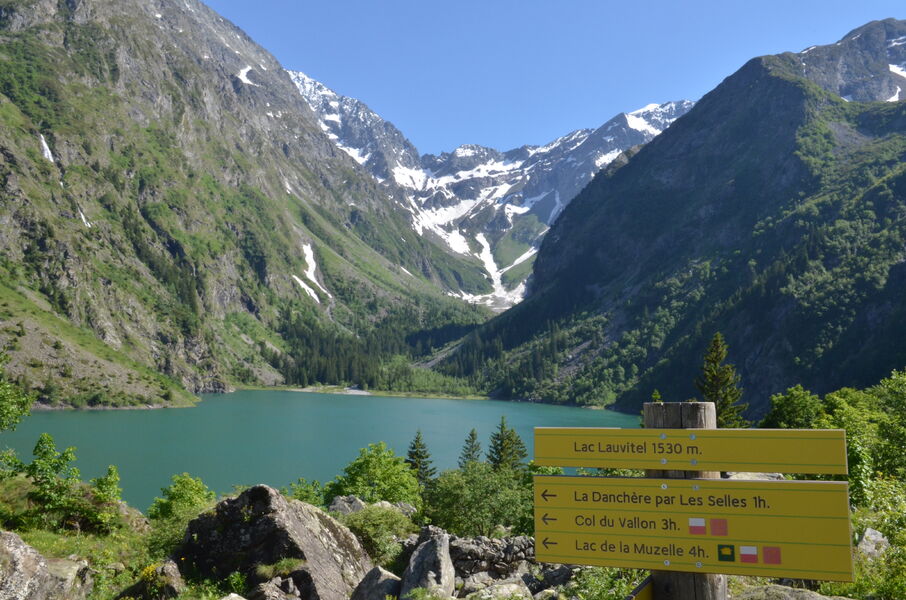
Cette randonnée permet de découvrir le site remarquable d'un lac enchâssé dans un cirque de haute montagne.
Route labeled FFRandonnée

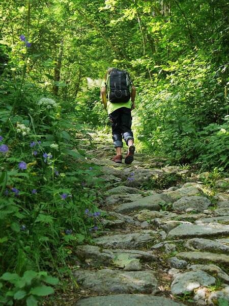
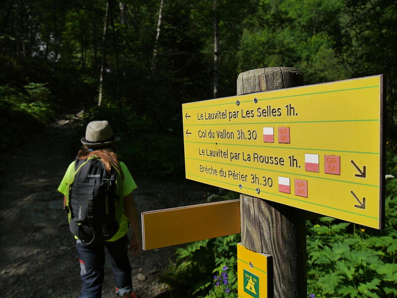
The characteristics of the route.

Le Bourg-d'Oisans (38)
- Distance 6.1 km
- Elevation gain 570 m
- Elevation lost 570 m
- Min. elevation 983 m
- Max. elevation. 1544 m
- Duration (depending on pace) 3h
- Marking Yes
Equipments : Car park, Admission fee : Free access.Opening : From 01/05 to 31/10 daily.
Subject to favorable snow and weather conditions.
Area : Grenoble-Alpes Métropole
Report a problem
Website Pdf file Features of the application :
- Location and orientation on detailed maps thanks to the GPS of your smartphone
- Description of routes and points of interest on the route
- Photo gallery by route
- Detailed elevation profile
- Route tracking alert to warn you if you stray from the route
- Send predefined messages by SMS to your contacts
- Emergency module: trigger a call or send an emergency SMS in case of problem
- Agenda: access to events organized in the department
- News: find in the application the latest news on the web portal
- Adding achievements
- Add reports in case of problems encountered on the routes
- Share on social networks
Ayele
The 2025/10/19
En savoir plus
Ajouter votre chrono et partager vos sensations
2025/10/19 Ayele
2025/10/19 Ayele
Services nearby

Venosc Tourist Office - Les 2 Alpes
Venosc

La Muzelle Hut
Venosc
2 ALPES TOURIST OFFICE
Les Deux Alpes

Exhibition area - Maison de la Montagne
Les Deux Alpes
Chasal Lento Museum
Les Deux Alpes


Information updated on 2025-07-01 by Isère Attractivité


Follow us on
the digital trails
the digital trails


![]()
The Isère Outdoor application was created
by the Département de l'Isère
Infos & contact
Conseil départemental de l'Isère
7 rue Fantin Latour
CS 41096
38 022 Grenoble cedex 1
Tel. 04 76 00 38 38
 Isère Outdoor - Parcours - Le lac du Lauvitel
Hello, world! This is a toast message.
Isère Outdoor - Parcours - Le lac du Lauvitel
Hello, world! This is a toast message.
Isère Outdoor - Parcours - Le lac du Lauvitel
Hello, world! This is a toast message.


OK
Annuler