N°43 Le 18 trous - Boucle VTT
Add to my favorites

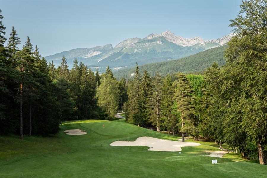
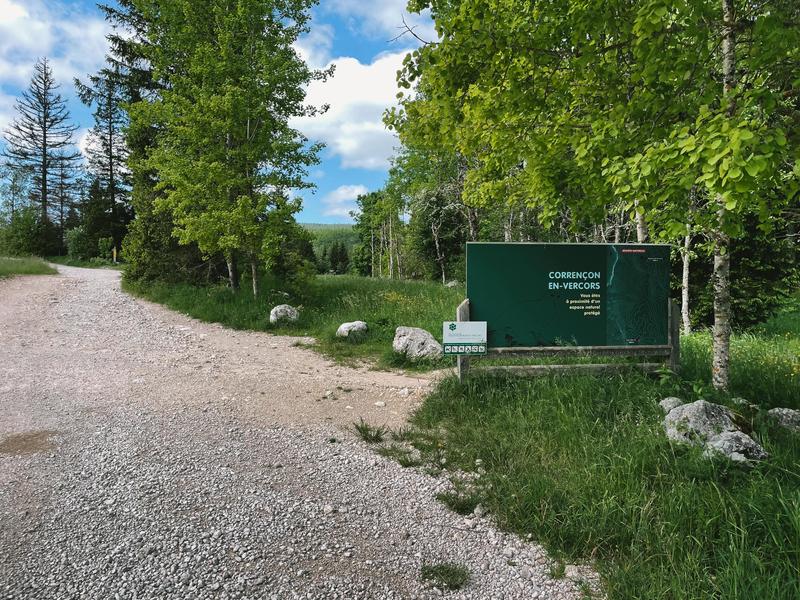
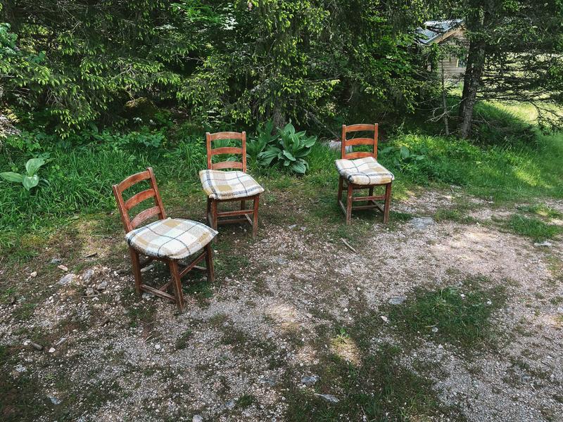
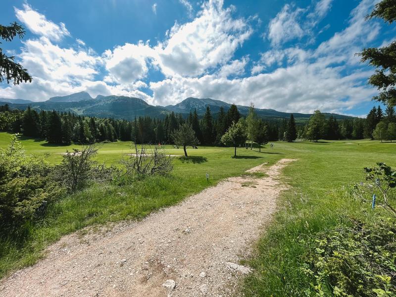
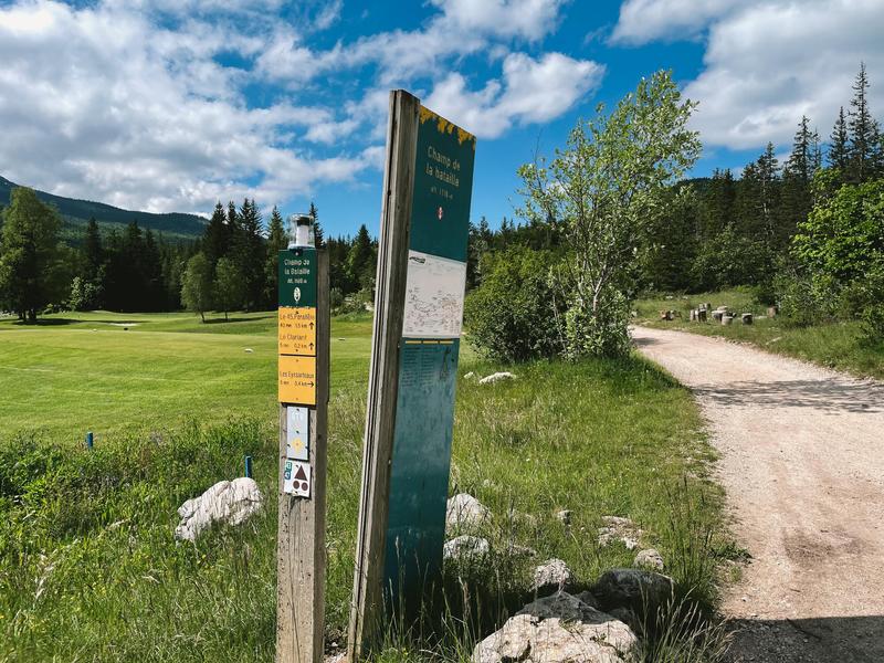
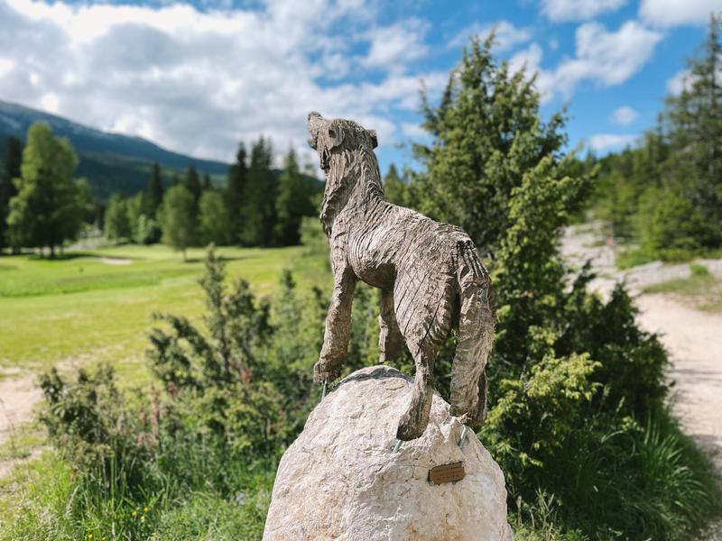
Au départ du Golf de Corrençon en Vercors, partez à sa découverte jusqu’à l'entrée des portes de la réserve naturelle des Hauts Plateaux du Vercors.
The characteristics of the route.

Corrençon-en-Vercors (38)
- Distance 7.3 km
- Elevation gain 160 m
- Elevation lost 160 m
- Min. elevation 1097 m
- Max. elevation. 1226 m
- Duration (depending on pace) 1h
- Marking Yes
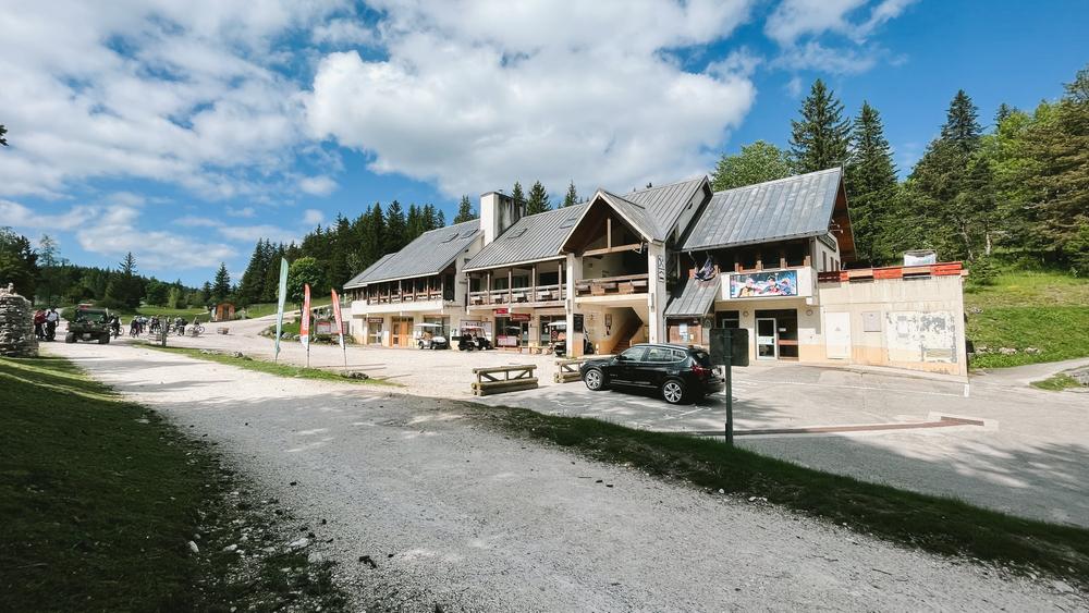
Equipments : Free car park, Car park, Public WC, Bar, Admission fee : Free access.Opening : From 15/03 to 01/12.
Subject to favorable snow and weather conditions.
Area : Massif du Vercors
Report a problem
Website Pdf file Features of the application :
- Location and orientation on detailed maps thanks to the GPS of your smartphone
- Description of routes and points of interest on the route
- Photo gallery by route
- Detailed elevation profile
- Route tracking alert to warn you if you stray from the route
- Send predefined messages by SMS to your contacts
- Emergency module: trigger a call or send an emergency SMS in case of problem
- Agenda: access to events organized in the department
- News: find in the application the latest news on the web portal
- Adding achievements
- Add reports in case of problems encountered on the routes
- Share on social networks
Add your time and share your feelings
Services nearby

Foyer de ski de fond des Hauts Plateaux
Corrençon-en-Vercors

Maison du Patrimoine
Villard-de-Lans

Office Municipal de Tourisme de Villard de Lans
Villard-de-Lans

Refuge La Soldanelle
Château-Bernard
Auberge des Allières
Lans-en-Vercors


Information updated on 2024-11-05 by Office Municipal de Tourisme de Villard-de-Lans


Follow us on
the digital trails
the digital trails


![]()
The Isère Outdoor application was created
by the Département de l'Isère
Infos & contact
Conseil départemental de l'Isère
7 rue Fantin Latour
CS 41096
38 022 Grenoble cedex 1
Tel. 04 76 00 38 38
 Isère Outdoor - Parcours - N°43 Le 18 trous - Boucle VTT
Hello, world! This is a toast message.
Isère Outdoor - Parcours - N°43 Le 18 trous - Boucle VTT
Hello, world! This is a toast message.
Isère Outdoor - Parcours - N°43 Le 18 trous - Boucle VTT
Hello, world! This is a toast message.


OK
Annuler