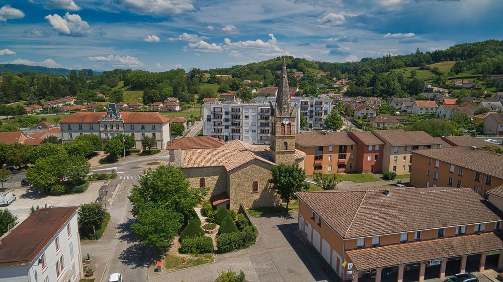
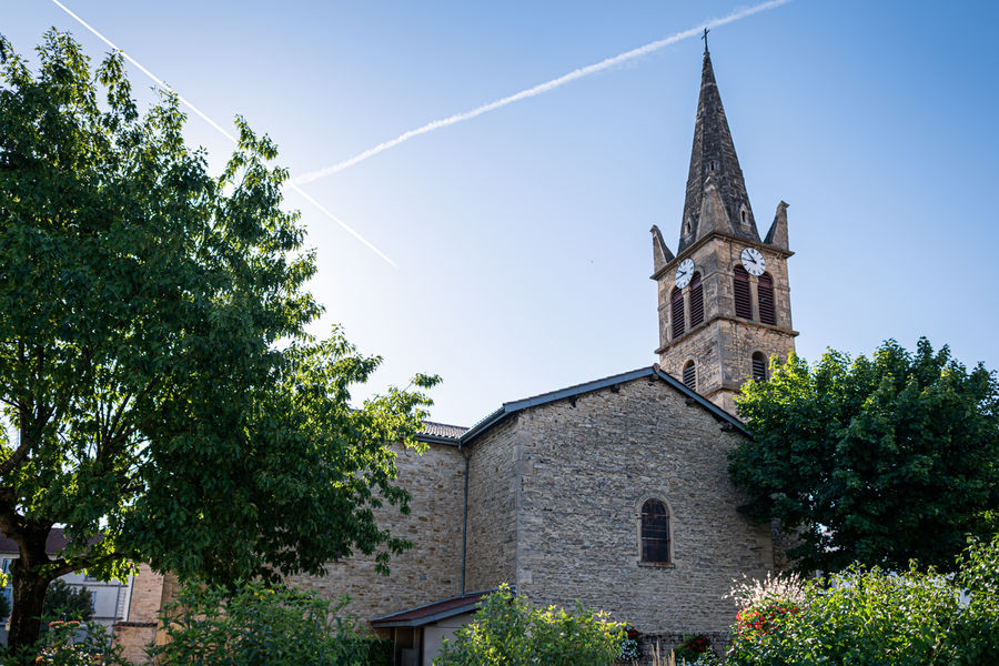
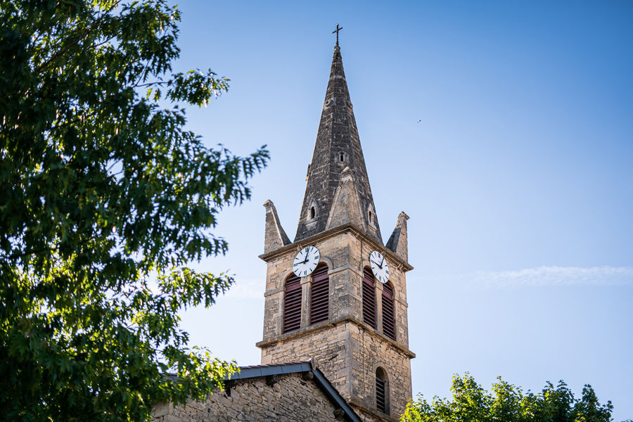
Randonnée pédestre autour de l'église de Vermelle
Add to my favorites

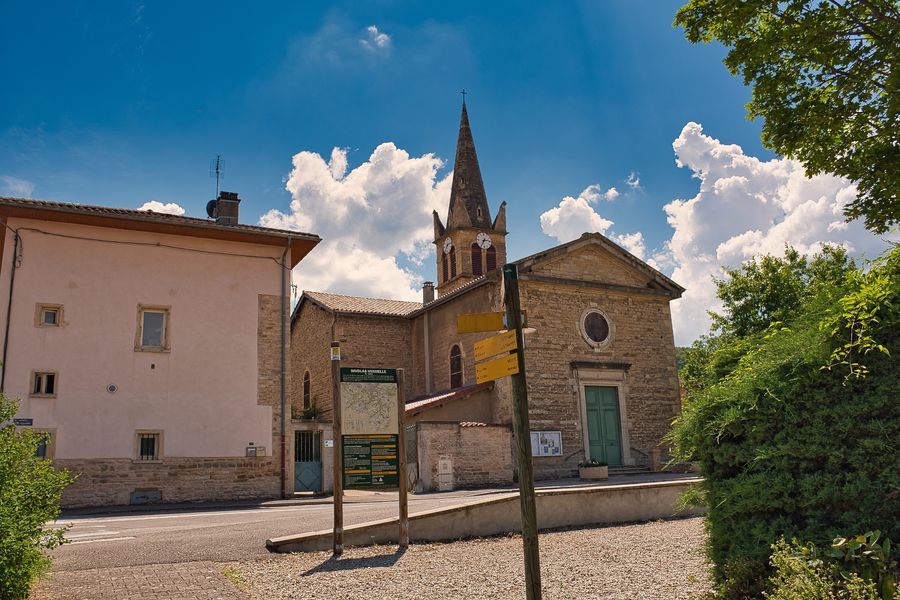
Par un itinéraire varié à travers combes et bois, découvrez l'importance des eaux de l'Agny dans le développement économique de la commune.
The characteristics of the route.

Nivolas-Vermelle (38)
- Distance 10.4 km
- Elevation gain 250 m
- Elevation lost 250 m
- Min. elevation 299 m
- Max. elevation. 444 m
- Duration (depending on pace) 3h
- Marking Yes
Equipments : Car park, Admission fee : Free access.Opening : All year round.
Area : Porte de l'Isère
Report a problem
Website Pdf file Features of the application :
- Location and orientation on detailed maps thanks to the GPS of your smartphone
- Description of routes and points of interest on the route
- Photo gallery by route
- Detailed elevation profile
- Route tracking alert to warn you if you stray from the route
- Send predefined messages by SMS to your contacts
- Emergency module: trigger a call or send an emergency SMS in case of problem
- Agenda: access to events organized in the department
- News: find in the application the latest news on the web portal
- Adding achievements
- Add reports in case of problems encountered on the routes
- Share on social networks
BenBJ
finished in 01:57:00
The 2023/02/16
En savoir plus
Ajouter votre chrono et partager vos sensations
2023/02/16 01:57:00
BenBJ
BenBJ
Balade très agréable mais une partie est assez boueuse mais rien de difficile.
2023/02/16 01:57:00
BenBJ
BenBJ
Balade très agréable mais une partie est assez boueuse mais rien de difficile.
Services nearby

Musée de Bourgoin-Jallieu
Bourgoin-Jallieu

Office de Tourisme CAPI Porte de l'Isère
Bourgoin-Jallieu

Relais Cyné de Chateauvilain
Châteauvilain

Etang de Gôle Sensitive Natural Area
Montcarra
Saint-Chef Museum
Saint-Chef


Information updated on 2025-01-28 by Office de Tourisme CAPI - Porte de l'Isère


Follow us on
the digital trails
the digital trails


![]()
The Isère Outdoor application was created
by the Département de l'Isère
Infos & contact
Conseil départemental de l'Isère
7 rue Fantin Latour
CS 41096
38 022 Grenoble cedex 1
Tel. 04 76 00 38 38
 Isère Outdoor - Parcours - Randonnée pédestre autour de l'église de Vermelle
Hello, world! This is a toast message.
Isère Outdoor - Parcours - Randonnée pédestre autour de l'église de Vermelle
Hello, world! This is a toast message.
Isère Outdoor - Parcours - Randonnée pédestre autour de l'église de Vermelle
Hello, world! This is a toast message.


OK
Annuler