La Croix du Carrelet - Hiking from Villard-Reymond
Add to my favorites

Caution! Zone of vigilance near the route
Pregentil - du 15/05/2026 au 30/10/2026 In progress
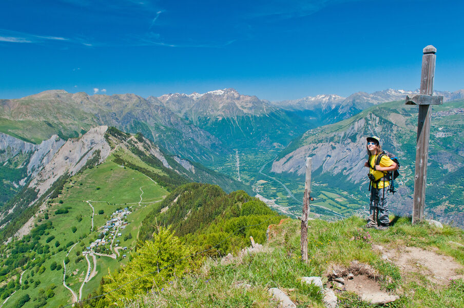
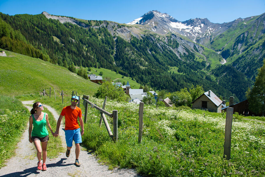
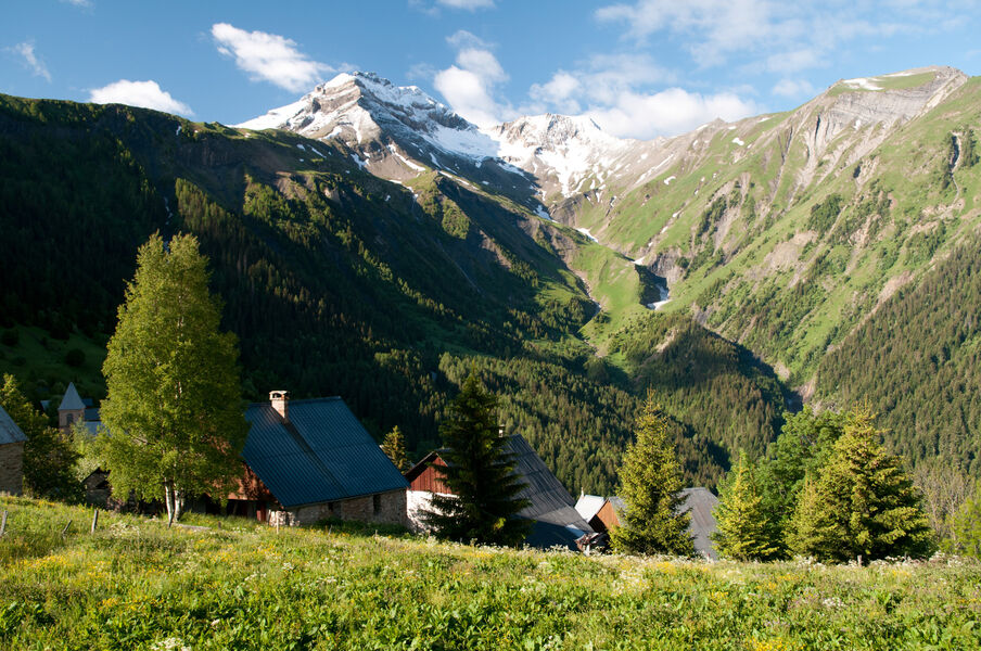
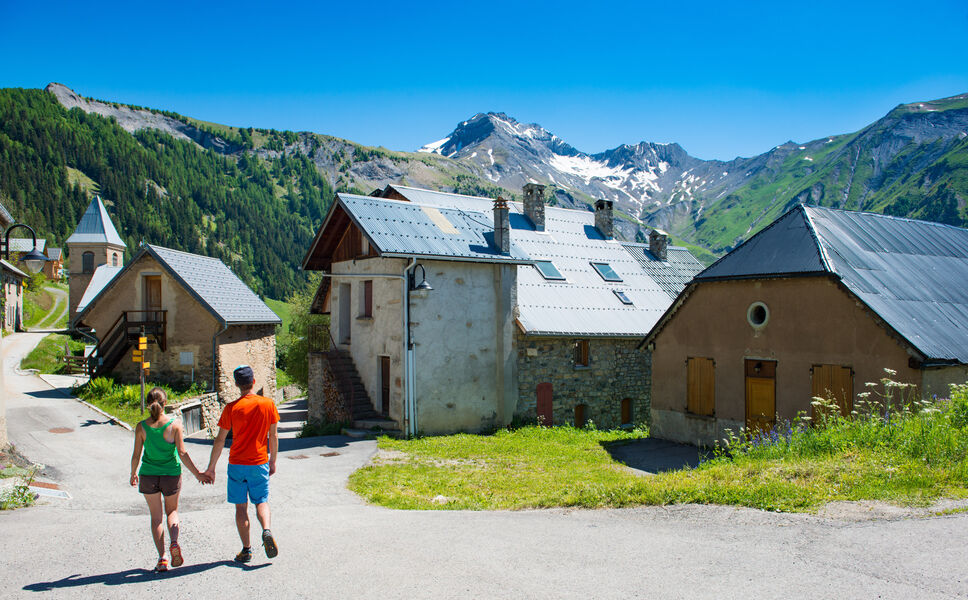
Start with a short visit to Villard-Reymond—its charm is simply irresistible. The hiking trail winds through a forest of pine and larch trees, then follows a ridge line through the alpine pastures before reaching the Croix du Carrelet.
Route labeled FFRandonnée

The characteristics of the route.

Villard-Reymond (38)
- Distance 5.9 km
- Elevation gain 470 m
- Elevation lost 460 m
- Min. elevation 1615 m
- Max. elevation. 2050 m
- Duration (depending on pace) 3h
- Marking Yes
Here’s an easy hike at high altitude that, all on its own, offers a complete picture of the Oisans region: forests, alpine pastures, ridges, and breathtaking views!
One panoramic view follows another: of the Grand Renaud from Villard-Reymond, of the Romanche Valley and the Grandes Rousses massif from the Col du Solude, and of the Ecrins massif and the lower Vénéon Valley from the Croix du Carrelet. It’s simply magnificent!Marking : Yellow PDIPR-type signsGood plans : You can complete a loop by heading back down to Villard-Notre-Dame—which is definitely worth a visit—and then return to Villard-Reymond via the forest trail that leads to the Col du Solude.Admission fee : Free access.Opening : From 01/05 to 31/10 daily. Subject to favorable snow and weather conditions.Step by step description : Park at the entrance to Villard-Reymond, then start by strolling through the village, among the old farms—some renovated, others still in their original state. Head to the Col du Solude by following the trail as you leave the village. You’re at the top of the Prégentil cliff, which overlooks Bourg-d’Oisans. The trail starts on the right and climbs through the forest to the “maisons du Loup,” a small shaded spot at the intersection of the paths. Continue on the trail that branches off straight ahead. At the next intersection, stay on the same trail toward Croix du Carrelet, then take the left-hand trail, which ends with a short, winding climb up to the cross.
One panoramic view follows another: of the Grand Renaud from Villard-Reymond, of the Romanche Valley and the Grandes Rousses massif from the Col du Solude, and of the Ecrins massif and the lower Vénéon Valley from the Croix du Carrelet. It’s simply magnificent!Marking : Yellow PDIPR-type signsGood plans : You can complete a loop by heading back down to Villard-Notre-Dame—which is definitely worth a visit—and then return to Villard-Reymond via the forest trail that leads to the Col du Solude.Admission fee : Free access.Opening : From 01/05 to 31/10 daily. Subject to favorable snow and weather conditions.Step by step description : Park at the entrance to Villard-Reymond, then start by strolling through the village, among the old farms—some renovated, others still in their original state. Head to the Col du Solude by following the trail as you leave the village. You’re at the top of the Prégentil cliff, which overlooks Bourg-d’Oisans. The trail starts on the right and climbs through the forest to the “maisons du Loup,” a small shaded spot at the intersection of the paths. Continue on the trail that branches off straight ahead. At the next intersection, stay on the same trail toward Croix du Carrelet, then take the left-hand trail, which ends with a short, winding climb up to the cross.
Area : Oisans
Report a problem
Pdf file Features of the application :
- Location and orientation on detailed maps thanks to the GPS of your smartphone
- Description of routes and points of interest on the route
- Photo gallery by route
- Detailed elevation profile
- Route tracking alert to warn you if you stray from the route
- Send predefined messages by SMS to your contacts
- Emergency module: trigger a call or send an emergency SMS in case of problem
- Agenda: access to events organized in the department
- News: find in the application the latest news on the web portal
- Adding achievements
- Add reports in case of problems encountered on the routes
- Share on social networks
Add your time and share your feelings
Services nearby

GALTA the Alpine Treasures Gallery
Le Bourg-d'Oisans

Maison de l'Oisans et du Parc national des Écrins
Le Bourg-d'Oisans

Foyer de ski de fond du Col d'Ornon
Chantelouve
Auris-en-Oisans Tourist Office
Auris-en-Oisans

Taillefer Hut
Oulles


Information updated on 2026-08-11 by Oisans Tourisme


Follow us on
the digital trails
the digital trails





The Isère Outdoor application was created
by the Département de l'Isère
Infos & contact
Conseil départemental de l'Isère
7 rue Fantin Latour
CS 41096
38 022 Grenoble cedex 1
Tel. 04 76 00 38 38
 Isère Outdoor - Parcours - La Croix du Carrelet - Hiking from Villard-Reymond
Hello, world! This is a toast message.
Isère Outdoor - Parcours - La Croix du Carrelet - Hiking from Villard-Reymond
Hello, world! This is a toast message.
Isère Outdoor - Parcours - La Croix du Carrelet - Hiking from Villard-Reymond
Hello, world! This is a toast message.


OK
Annuler