Les hauts de Roybon - VTT
Add to my favorites

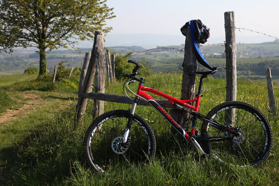
Depuis le vieux bourg médiéval, il faut un peu de courage pour venir à bout de la seule difficulté de ce parcours. En arrivant au sommet, une vue magnifique s'ouvre sur Roybon, situé à la croisée des trois vallées.
The characteristics of the route.

Roybon (38)
- Distance 13.5 km
- Elevation gain 240 m
- Elevation lost 240 m
- Min. elevation 495 m
- Max. elevation. 616 m
- Duration (depending on pace) 2h30
- Marking Yes
Equipments : Picnic area, Public WC, Car park, Admission fee : Free of chargeOpening : All year round.
Area : Bièvre Isère
Report a problem
Website Pdf file Features of the application :
- Location and orientation on detailed maps thanks to the GPS of your smartphone
- Description of routes and points of interest on the route
- Photo gallery by route
- Detailed elevation profile
- Route tracking alert to warn you if you stray from the route
- Send predefined messages by SMS to your contacts
- Emergency module: trigger a call or send an emergency SMS in case of problem
- Agenda: access to events organized in the department
- News: find in the application the latest news on the web portal
- Adding achievements
- Add reports in case of problems encountered on the routes
- Share on social networks
Add your time and share your feelings
Services nearby

Roybon Tourist information center
Roybon

Espace naturel sensible de la Tourbière des Planchettes
Saint-Pierre-de-Bressieux

Relais Cyné de Chevrières
Chevrières

Musée de Bressieux
Bressieux
Musée de Saint-Antoine-l'Abbaye
Saint-Antoine-l'Abbaye


Information updated on 2023-10-13 by Office de Tourisme Terres de Berlioz


Follow us on
the digital trails
the digital trails


![]()
The Isère Outdoor application was created
by the Département de l'Isère
Infos & contact
Conseil départemental de l'Isère
7 rue Fantin Latour
CS 41096
38 022 Grenoble cedex 1
Tel. 04 76 00 38 38
 Isère Outdoor - Parcours - Les hauts de Roybon - VTT
Hello, world! This is a toast message.
Isère Outdoor - Parcours - Les hauts de Roybon - VTT
Hello, world! This is a toast message.
Isère Outdoor - Parcours - Les hauts de Roybon - VTT
Hello, world! This is a toast message.


OK
Annuler