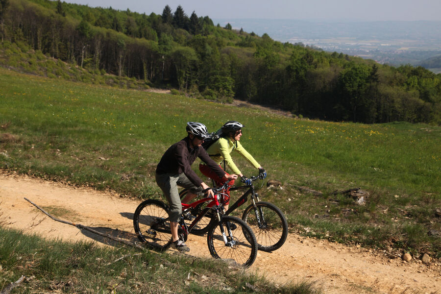
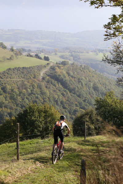
Crêtes et combes de Chambaran - VTT
Add to my favorites

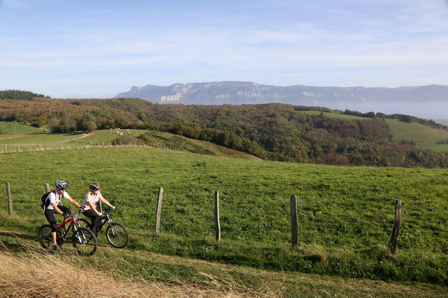
Cette randonnée est un véritable condensé du pays de chambaran, pendant laquelle le vététiste est promené de forêts en prairies et de combes en crêtes.
The characteristics of the route.

Roybon (38)
- Distance 18.9 km
- Elevation gain 360 m
- Elevation lost 360 m
- Min. elevation 500 m
- Max. elevation. 696 m
- Duration (depending on pace) 3h
- Marking Yes
Equipments : Picnic area, Public WC, Car park, Admission fee : Free access.Opening : All year round.
Area : Bièvre Isère
Report a problem
Website Pdf file Features of the application :
- Location and orientation on detailed maps thanks to the GPS of your smartphone
- Description of routes and points of interest on the route
- Photo gallery by route
- Detailed elevation profile
- Route tracking alert to warn you if you stray from the route
- Send predefined messages by SMS to your contacts
- Emergency module: trigger a call or send an emergency SMS in case of problem
- Agenda: access to events organized in the department
- News: find in the application the latest news on the web portal
- Adding achievements
- Add reports in case of problems encountered on the routes
- Share on social networks
Add your time and share your feelings
Services nearby

Roybon Tourist information center
Roybon

Espace naturel sensible de la Tourbière des Planchettes
Saint-Pierre-de-Bressieux

Relais Cyné de Chevrières
Chevrières

Musée de Bressieux
Bressieux
Musée de Saint-Antoine-l'Abbaye
Saint-Antoine-l'Abbaye


Information updated on 2022-05-06 by Office de Tourisme Terres de Berlioz


Follow us on
the digital trails
the digital trails


![]()
The Isère Outdoor application was created
by the Département de l'Isère
Infos & contact
Conseil départemental de l'Isère
7 rue Fantin Latour
CS 41096
38 022 Grenoble cedex 1
Tel. 04 76 00 38 38
 Isère Outdoor - Parcours - Crêtes et combes de Chambaran - VTT
Hello, world! This is a toast message.
Isère Outdoor - Parcours - Crêtes et combes de Chambaran - VTT
Hello, world! This is a toast message.
Isère Outdoor - Parcours - Crêtes et combes de Chambaran - VTT
Hello, world! This is a toast message.


OK
Annuler