De Montchardon à la croix de Béatrix - itinéraire VTT
Add to my favorites

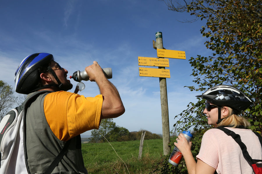
Ce circuit est idéal pour la découverte du vélo tout terrain. Il initiera les néophytes aux techniques de pilotage dans la descente du Montchardon et comblera les curieux aux abords du Moulin Pion-Gaud et de l'église romane de Penol.
The characteristics of the route.

Faramans (38)
- Distance 9.7 km
- Elevation gain 200 m
- Elevation lost 200 m
- Min. elevation 359 m
- Max. elevation. 522 m
- Marking Yes
Equipments : Picnic area, Public WC, Car park, Admission fee : Free access.Opening : All year round.
Area : Bièvre Isère
Report a problem
Website Pdf file Features of the application :
- Location and orientation on detailed maps thanks to the GPS of your smartphone
- Description of routes and points of interest on the route
- Photo gallery by route
- Detailed elevation profile
- Route tracking alert to warn you if you stray from the route
- Send predefined messages by SMS to your contacts
- Emergency module: trigger a call or send an emergency SMS in case of problem
- Agenda: access to events organized in the department
- News: find in the application the latest news on the web portal
- Adding achievements
- Add reports in case of problems encountered on the routes
- Share on social networks
Alex38260
The 2023/06/19
En savoir plus
Ajouter votre chrono et partager vos sensations
2023/06/19 Alex38260
Petit parcours assez physique sur la partie du dénivelé +. Bémol sur la partie descendante, peu de chemin boisé et peu de technique.
2023/06/19 Alex38260
Petit parcours assez physique sur la partie du dénivelé +. Bémol sur la partie descendante, peu de chemin boisé et peu de technique.
Services nearby

La Côte-Saint-André Tourist information center
La Côte-Saint-André

Hector berlioz Museum
La Côte-Saint-André
Musée des Liqueurs Cherry-Rocher
La Côte-Saint-André

Espace naturel sensible Les fontaines de Beaufort
Beaufort
Musée de Bressieux
Bressieux


Information updated on 2023-10-13 by Office de Tourisme Terres de Berlioz


Follow us on
the digital trails
the digital trails


![]()
The Isère Outdoor application was created
by the Département de l'Isère
Infos & contact
Conseil départemental de l'Isère
7 rue Fantin Latour
CS 41096
38 022 Grenoble cedex 1
Tel. 04 76 00 38 38
 Isère Outdoor - Parcours - De Montchardon à la croix de Béatrix - itinéraire VTT
Hello, world! This is a toast message.
Isère Outdoor - Parcours - De Montchardon à la croix de Béatrix - itinéraire VTT
Hello, world! This is a toast message.
Isère Outdoor - Parcours - De Montchardon à la croix de Béatrix - itinéraire VTT
Hello, world! This is a toast message.


OK
Annuler