Forests and lakes in the Belledonne balconies
Add to my favorites

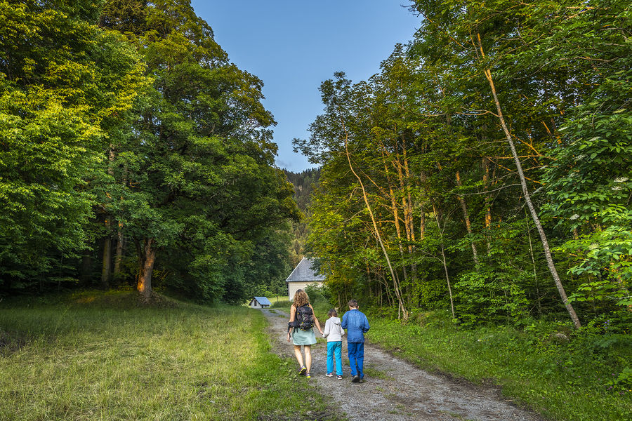
Go on this great loop on the foothills of Belledonne, between majestic forests and discovery of the first French National Nature Reserve at Lake Luitel.
Route labeled FFRandonnée

The characteristics of the route.

Vaulnaveys-le-Bas (38)
- Distance 13.9 km
- Elevation gain 640 m
- Elevation lost 640 m
- Min. elevation 885 m
- Max. elevation. 1386 m
- Duration (depending on pace) 5h
- Marking Yes
Marking : Yellow markings (PR)Equipments : Car park, Admission fee : Free access.Opening : All year round.
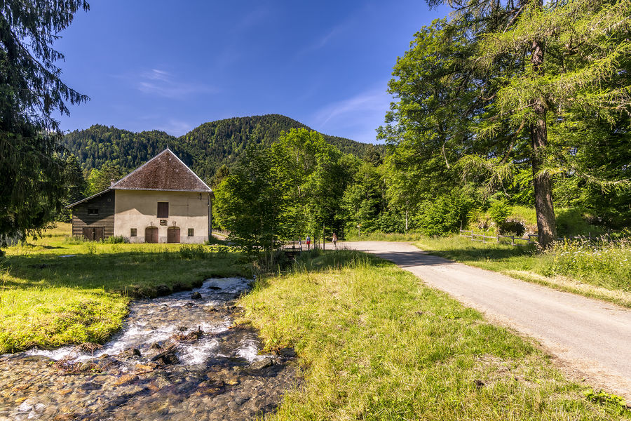
Subject to favorable weather.Step by step description : From the parking lot, follow the road for 200 m up to the "Montchaffrey" sign. Turn left onto the Chemin de l'Oeilly, which rises through the forest and joins a wide track. Shortly after the "Fontaine du Mulet" signpost, turn off onto a downhill path and continue along a small road that leads to the site of the former Chartreuse de Prémol [Ruins and forest house, place to relax and picnic].
Continue until you reach the Chamrousse road (D111). Follow it for 80m and turn left (caution) onto a path that rises above the road, intersects it higher up [caution] and leads to the "l'Exutoire" post. [It is possible to walk around Lac Luitel on a discovery trail passing by the Maison du Parc 400m to the south. Follow the Nature Reserve regulations and the instructions on the site]. From here, the route follows the GR®738 Haute Traversée de Belledonne for over 5 km on a wide forest track.
Shortly after the baraque Pagnot, turn right onto a downhill path. Turn left under the high-voltage power line. The fairly steep path leads out of the forest to the Col de la Madeleine [orientation table for panoramic views stretching from Taillefer to Vercors]. Continue right on the track between meadows to the "La Croisée" post, where you leave the GR®738 and turn right towards Montchaffrey.
At the "Chenevier" post, turn right onto a very stony track, pass the millstone, a vestige of the Chenevier mill, and climb up to reach a beautiful path lined with large stones with a view of Montchaffrey. Reach the parking lot.
Area : Grenoble-Alpes Métropole
Report a problem
Website Pdf file Features of the application :
- Location and orientation on detailed maps thanks to the GPS of your smartphone
- Description of routes and points of interest on the route
- Photo gallery by route
- Detailed elevation profile
- Route tracking alert to warn you if you stray from the route
- Send predefined messages by SMS to your contacts
- Emergency module: trigger a call or send an emergency SMS in case of problem
- Agenda: access to events organized in the department
- News: find in the application the latest news on the web portal
- Adding achievements
- Add reports in case of problems encountered on the routes
- Share on social networks
Add your time and share your feelings
Services nearby

Arselle Peatbog (Preserved Natural Area)
Chamrousse

Uriage-les-Bains Tourist Information Office
Saint-Martin-d'Uriage
Chamrousse Tourist Office
Chamrousse

Museum of the French Revolution
Vizille
Vizille Tourist Information Center
Vizille


Information updated on 2025-05-06 by Office de Tourisme Grenoble Alpes


Follow us on
the digital trails
the digital trails





The Isère Outdoor application was created
by the Département de l'Isère
Infos & contact
Conseil départemental de l'Isère
7 rue Fantin Latour
CS 41096
38 022 Grenoble cedex 1
Tel. 04 76 00 38 38
 Isère Outdoor - Parcours - Forests and lakes in the Belledonne balconies
Hello, world! This is a toast message.
Isère Outdoor - Parcours - Forests and lakes in the Belledonne balconies
Hello, world! This is a toast message.
Isère Outdoor - Parcours - Forests and lakes in the Belledonne balconies
Hello, world! This is a toast message.


OK
Annuler