La plaine du Liers - itinéraire VTT
Add to my favorites

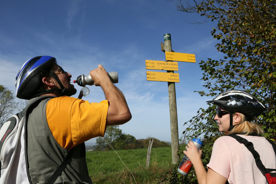
La fôret de Bonnevaux surplombe une plaine étroite, allongée d'est en ouest: la plaine du liers. Il est difficile d'imaginer quand on contemple le vaste damier de parcelles que cette plaine était couverte au Moyen Age par une importante fôret royale.
The characteristics of the route.

Faramans (38)
- Distance 5.5 km
- Elevation gain 40 m
- Elevation lost 40 m
- Min. elevation 357 m
- Max. elevation. 389 m
- Duration (depending on pace) 1h
- Marking Yes
Equipments : Picnic area, Public WC, Car park, Admission fee : Free access.Opening : All year round.
Area : Bièvre Isère
Report a problem
Website Pdf file Features of the application :
- Location and orientation on detailed maps thanks to the GPS of your smartphone
- Description of routes and points of interest on the route
- Photo gallery by route
- Detailed elevation profile
- Route tracking alert to warn you if you stray from the route
- Send predefined messages by SMS to your contacts
- Emergency module: trigger a call or send an emergency SMS in case of problem
- Agenda: access to events organized in the department
- News: find in the application the latest news on the web portal
- Adding achievements
- Add reports in case of problems encountered on the routes
- Share on social networks
Thetiger
The 2025/05/18
En savoir plus
Ajouter votre chrono et partager vos sensations
2025/05/18 Thetiger
2025/05/18 Thetiger
Services nearby

La Côte-Saint-André Tourist information center
La Côte-Saint-André

Hector berlioz Museum
La Côte-Saint-André
Musée des Liqueurs Cherry-Rocher
La Côte-Saint-André

Espace naturel sensible Les fontaines de Beaufort
Beaufort
Musée de Bressieux
Bressieux


Information updated on 2023-10-13 by Office de Tourisme Terres de Berlioz


Follow us on
the digital trails
the digital trails


![]()
The Isère Outdoor application was created
by the Département de l'Isère
Infos & contact
Conseil départemental de l'Isère
7 rue Fantin Latour
CS 41096
38 022 Grenoble cedex 1
Tel. 04 76 00 38 38
 Isère Outdoor - Parcours - La plaine du Liers - itinéraire VTT
Hello, world! This is a toast message.
Isère Outdoor - Parcours - La plaine du Liers - itinéraire VTT
Hello, world! This is a toast message.
Isère Outdoor - Parcours - La plaine du Liers - itinéraire VTT
Hello, world! This is a toast message.


OK
Annuler