Tour du Signal de l'Homme
Add to my favorites

Caution! Zone of vigilance near the route
Alpage ovin d'Huez - du 15/06/2026 au 15/10/2026 In progress
Cassini - du 20/06/2026 au 20/10/2026 In progress
Alpage d'Auris - du 22/05/2026 au 22/10/2026 In progress
Partie haute la Garde - du 01/06/2026 au 30/10/2026 In progress
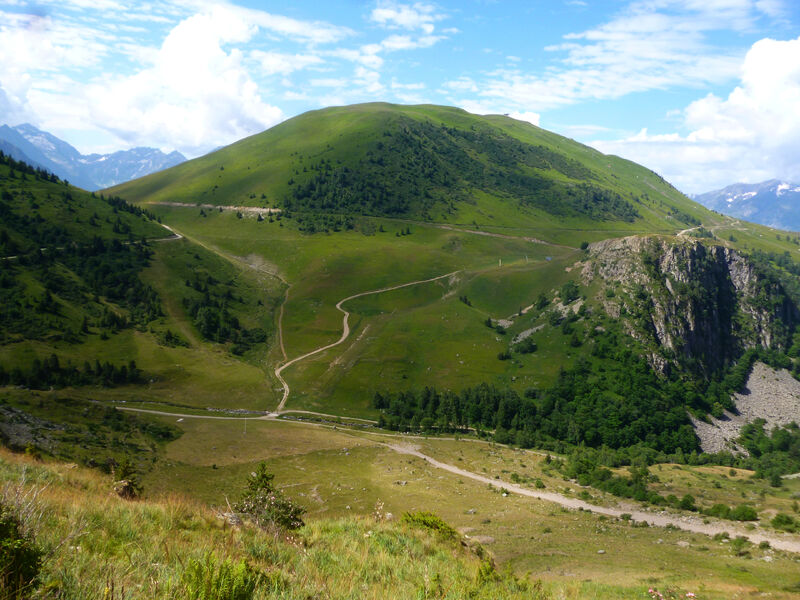
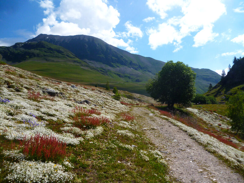
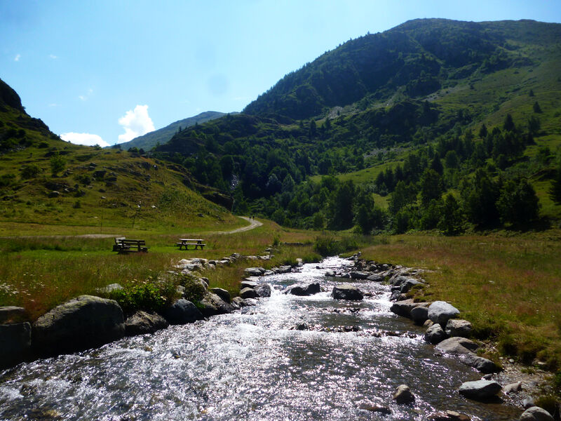
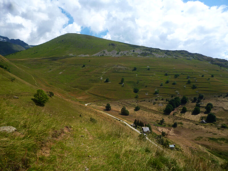
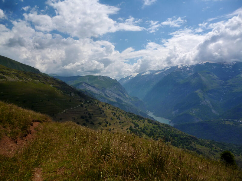
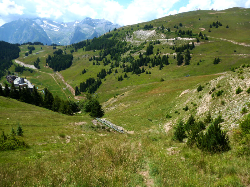
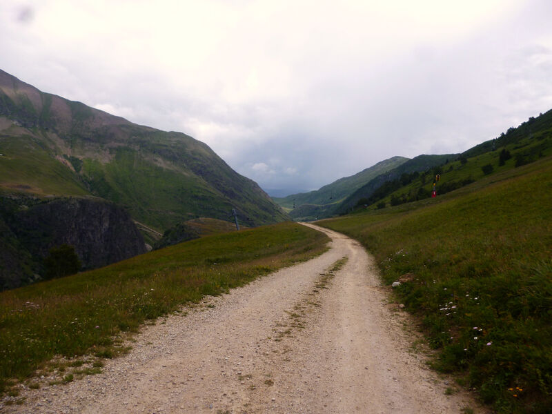
Pour cette randonnée, vous prendrez de la hauteur sur le massif des Grandes Rousses au départ de l’Alpe d’Huez.
The characteristics of the route.
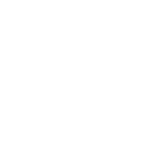
Alpe d'Huez (38)
- Distance 18.3 km
- Elevation gain 730 m
- Elevation lost 730 m
- Min. elevation 1610 m
- Max. elevation. 1848 m
- Duration (depending on pace) 5h
- Marking Yes
Area : Oisans
Report a problem
Features of the application :
- Location and orientation on detailed maps thanks to the GPS of your smartphone
- Description of routes and points of interest on the route
- Photo gallery by route
- Detailed elevation profile
- Route tracking alert to warn you if you stray from the route
- Send predefined messages by SMS to your contacts
- Emergency module: trigger a call or send an emergency SMS in case of problem
- Agenda: access to events organized in the department
- News: find in the application the latest news on the web portal
- Adding achievements
- Add reports in case of problems encountered on the routes
- Share on social networks
Add your time and share your feelings
Services nearby

Musée d'Huez et de l'Oisans
Alpe d'Huez

Office de Tourisme
Alpe d'Huez
Auris-en-Oisans tourist office
Auris-en-Oisans
Tourist office of Villard-Reculas
Villard-Reculas
Oz en Oisans Tourist Office
Oz-en-Oisans


Information updated on 2021-09-28 by Isère Cheval Vert


Follow us on
the digital trails
the digital trails


![]()
The Isère Outdoor application was created
by the Département de l'Isère
Infos & contact
Conseil départemental de l'Isère
7 rue Fantin Latour
CS 41096
38 022 Grenoble cedex 1
Tel. 04 76 00 38 38
 Isère Outdoor - Parcours - Tour du Signal de l'Homme
Hello, world! This is a toast message.
Isère Outdoor - Parcours - Tour du Signal de l'Homme
Hello, world! This is a toast message.
Isère Outdoor - Parcours - Tour du Signal de l'Homme
Hello, world! This is a toast message.


OK
Annuler