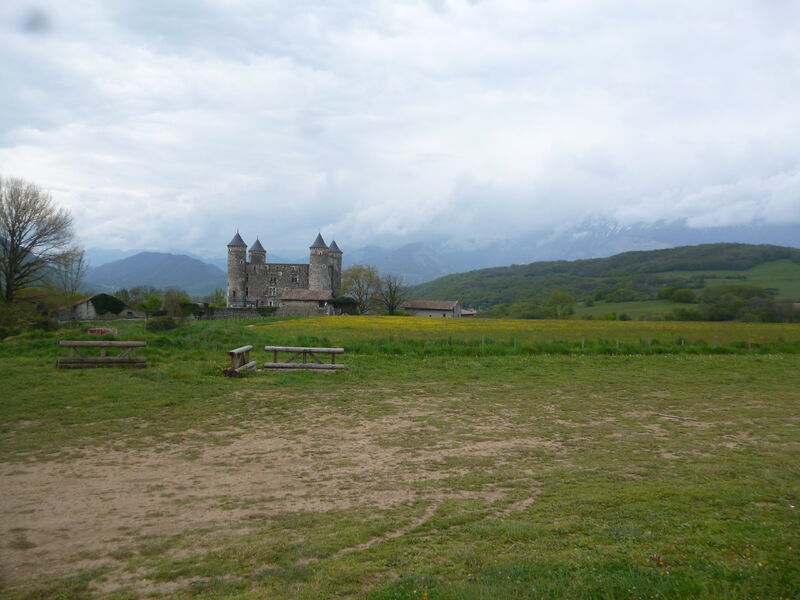
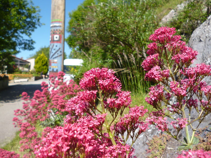
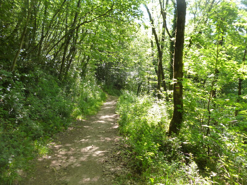
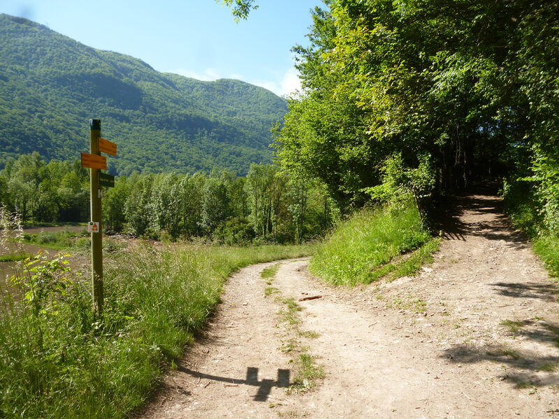
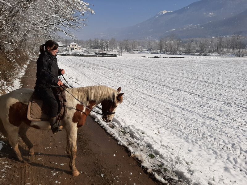
Boucle Porte de Belledonne
Add to my favorites

Caution! Zone of vigilance near the route
Faucon pèlerin - du 01/02/2026 au 30/06/2026 In progress
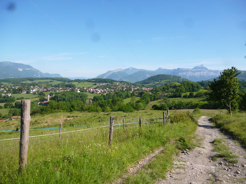
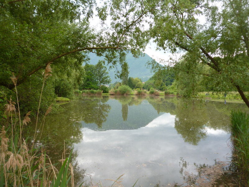
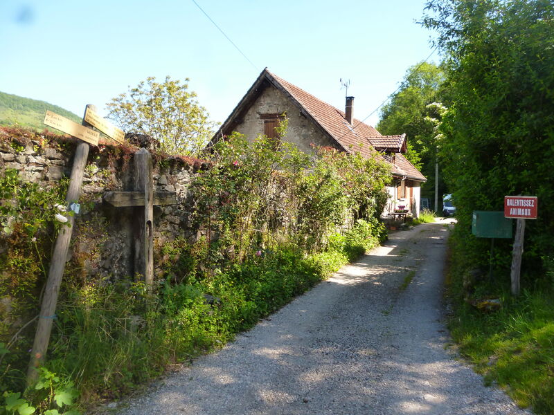
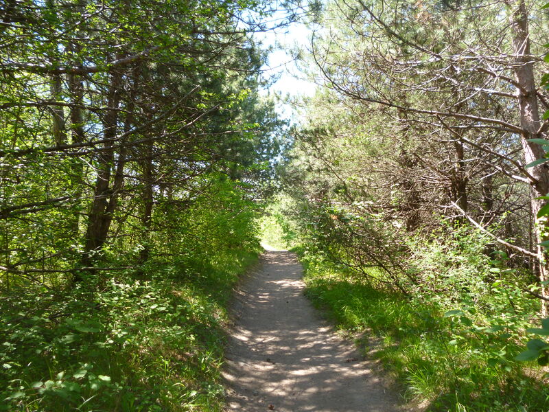
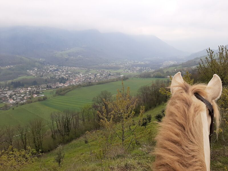
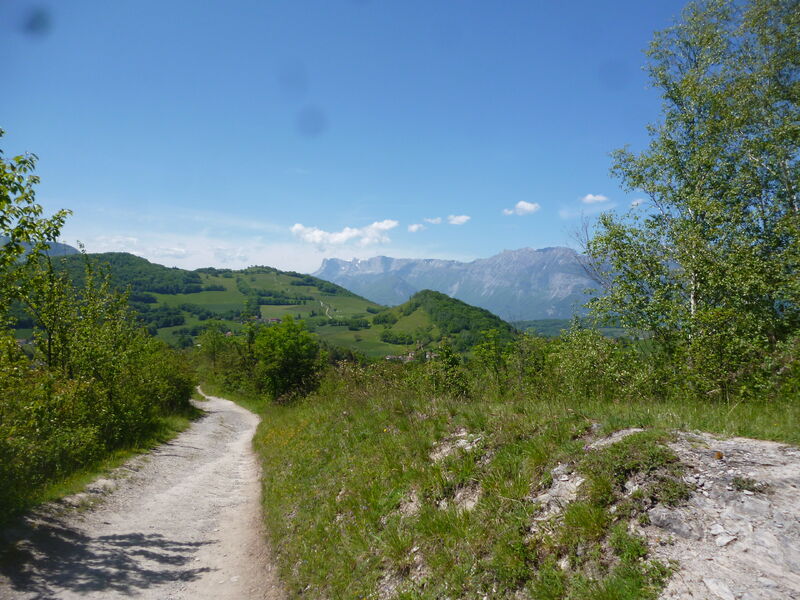
Itinéraire assez sportif, accessible à cheval, autour des villages portes du massif de Belledonne.
The characteristics of the route.
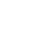
Vizille (38)
- Distance 26.52 km
- Elevation gain 680 m
- Elevation lost 680 m
- Min. elevation 285 m
- Max. elevation. 557 m
- Duration (depending on pace) 6h
- Marking Yes
Features of the application :
- Location and orientation on detailed maps thanks to the GPS of your smartphone
- Description of routes and points of interest on the route
- Photo gallery by route
- Detailed elevation profile
- Route tracking alert to warn you if you stray from the route
- Send predefined messages by SMS to your contacts
- Emergency module: trigger a call or send an emergency SMS in case of problem
- Agenda: access to events organized in the department
- News: find in the application the latest news on the web portal
- Adding achievements
- Add reports in case of problems encountered on the routes
- Share on social networks
Add your time and share your feelings
Services nearby

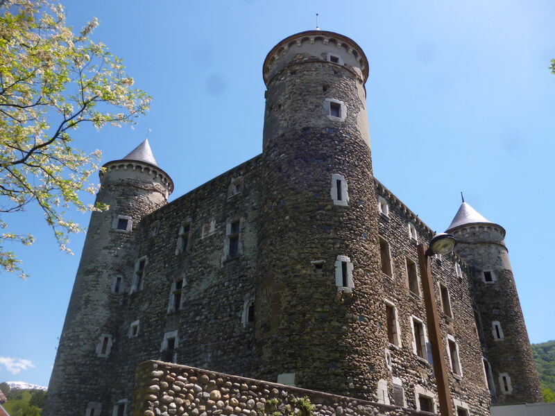
Museum of the French Revolution
Vizille

Vizille Tourist Information Center
Vizille
The chemistry Museum
Jarrie
Musée Autrefois
Champ-sur-Drac

Arselle Peatbog (Preserved Natural Area)
Chamrousse


Information updated on 2021-06-23 by Isère Cheval Vert


Follow us on
the digital trails
the digital trails


![]()
The Isère Outdoor application was created
by the Département de l'Isère
Infos & contact
Conseil départemental de l'Isère
7 rue Fantin Latour
CS 41096
38 022 Grenoble cedex 1
Tel. 04 76 00 38 38
 Isère Outdoor - Parcours - Boucle Porte de Belledonne
Hello, world! This is a toast message.
Isère Outdoor - Parcours - Boucle Porte de Belledonne
Hello, world! This is a toast message.
Isère Outdoor - Parcours - Boucle Porte de Belledonne
Hello, world! This is a toast message.


OK
Annuler