The Balmes Viennoises
Add to my favorites

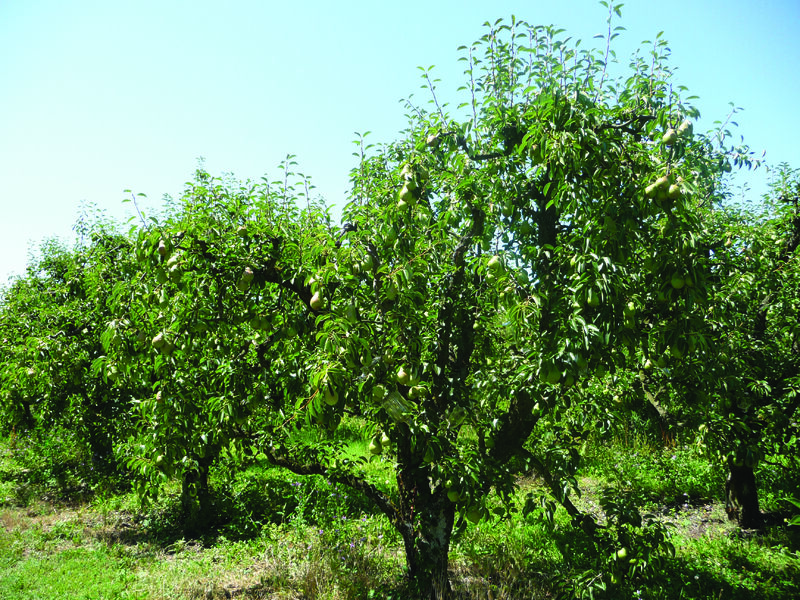
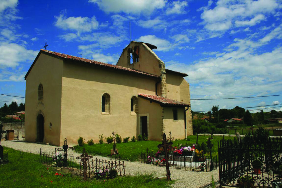
Circuit that lets you discover the château and medieval chapel of Illins, as well as the "Colombier" pear brandy distillery, while offering views of the Alps and Mont Blanc.
Route labeled FFRandonnée

The characteristics of the route.

Villette-de-Vienne (38)
- Distance 13 km
- Elevation gain 250 m
- Elevation lost 250 m
- Min. elevation 215 m
- Max. elevation. 343 m
- Duration (depending on pace) 4h
- Marking No
From the "Villette de Vienne" starting sign, turn left into Rue des Serventières. At the post "Villette de Vienne", follow Chuzelle on the left to reach "Cugnet" and continue left until the "Morand" post. Turn right towards "Bonnetière". At the crossroads of Chemin des Vignes, take the path on the left. Follow it until you reach a road and follow it to the left until you reach the "Bonnetière" sign. From there, follow right until the "Taillis de Mure" post. Continue opposite on the trail to "Marennes", cross the D150A. Take the track in front of you to reach a small road, turn left, pass the "Bois des Fauries" post and continue to the "Le coin" post. From there, turn right towards "Bois de Tholomé". Pass the post and continue towards "La Platière". When you reach the houses, turn left then right at the crossroads. When you arrive at Villeneuve, go straight through the hamlet and turn right into the dead end. At the "Illins" post, turn right towards Villette de Vienne. Pass through the hamlet on the left then, at the chapel, turn right. Pass through the village and stay on the road until you reach the château farm up on the heights. From there, continue left on the trail past Château d'Illins before descending to the "Les Brigands" post. Continue until the "Cugnet" post and return to the starting point, by the outward journey route.Equipments : Car park, Admission fee : Free access.Opening : From 01/01 to 31/12.
Area : Vienne Condrieu
Report a problem
Website Pdf file Features of the application :
- Location and orientation on detailed maps thanks to the GPS of your smartphone
- Description of routes and points of interest on the route
- Photo gallery by route
- Detailed elevation profile
- Route tracking alert to warn you if you stray from the route
- Send predefined messages by SMS to your contacts
- Emergency module: trigger a call or send an emergency SMS in case of problem
- Agenda: access to events organized in the department
- News: find in the application the latest news on the web portal
- Adding achievements
- Add reports in case of problems encountered on the routes
- Share on social networks
Add your time and share your feelings
Services nearby

Flood meadow
Pont-Évêque

Textile Industry Museum
Vienne
Saint-André-le-Bas Cloister
Vienne
Fine Arts and Archaeology Museum
Vienne
Archaelogical Museum - Saint Peter's Church
Vienne


Information updated on 2022-06-28 by Isère Attractivité


Follow us on
the digital trails
the digital trails


![]()
The Isère Outdoor application was created
by the Département de l'Isère
Infos & contact
Conseil départemental de l'Isère
7 rue Fantin Latour
CS 41096
38 022 Grenoble cedex 1
Tel. 04 76 00 38 38
 Isère Outdoor - Parcours - The Balmes Viennoises
Hello, world! This is a toast message.
Isère Outdoor - Parcours - The Balmes Viennoises
Hello, world! This is a toast message.
Isère Outdoor - Parcours - The Balmes Viennoises
Hello, world! This is a toast message.


OK
Annuler