Les hameaux d'Auris
Add to my favorites

Caution! Zone of vigilance near the route
Alpage d'Auris - du 22/05/2026 au 22/10/2026 In progress
Circaète Jean-le-Blanc - du 01/03/2026 au 30/09/2026 In progress
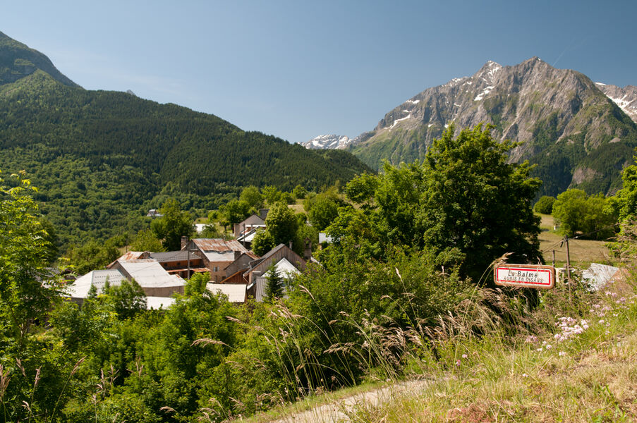
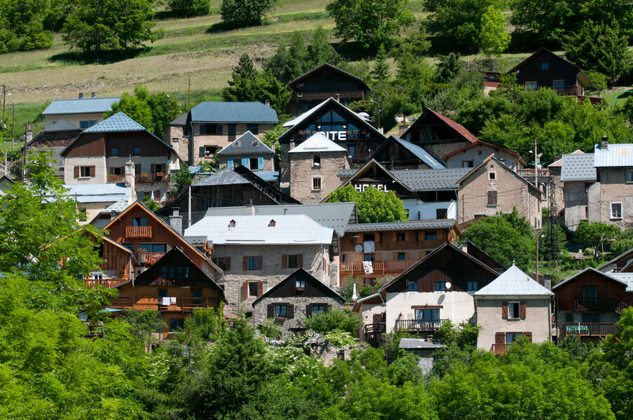
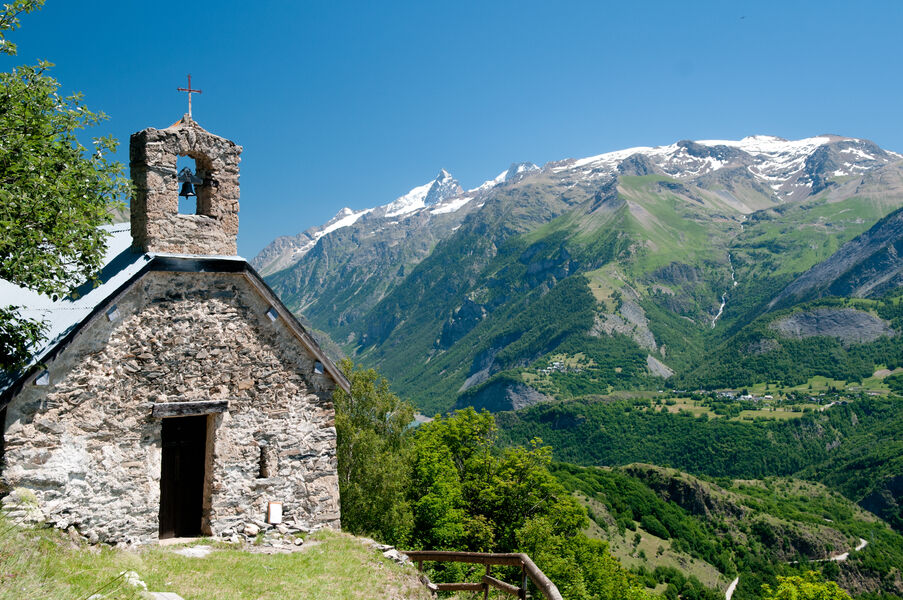
Cette randonnée sans difficultés permet de goûter à l’ambiance traditionnelle des villages montagnards, accompagnée de leurs nombreuses chapelles et oratoires.
Route labeled FFRandonnée

The characteristics of the route.

Auris-en-Oisans (38)
- Distance 5.3 km
- Elevation gain 260 m
- Elevation lost 260 m
- Min. elevation 1158 m
- Max. elevation. 1386 m
- Duration (depending on pace) 1h50
- Marking Yes
Equipments : Car park, Admission fee : Free access.Opening : From 01/05 to 31/10 daily.
Subject to favorable weather.
Area : Oisans
Report a problem
Website Pdf file Features of the application :
- Location and orientation on detailed maps thanks to the GPS of your smartphone
- Description of routes and points of interest on the route
- Photo gallery by route
- Detailed elevation profile
- Route tracking alert to warn you if you stray from the route
- Send predefined messages by SMS to your contacts
- Emergency module: trigger a call or send an emergency SMS in case of problem
- Agenda: access to events organized in the department
- News: find in the application the latest news on the web portal
- Adding achievements
- Add reports in case of problems encountered on the routes
- Share on social networks
Add your time and share your feelings
Services nearby

Auris-en-Oisans tourist office
Auris-en-Oisans

Chasal Lento Museum
Les Deux Alpes
Tourist office of Le Bourg-d'Oisans
Le Bourg-d'Oisans
Museum of Minerals and Alpine Wildlife
Le Bourg-d'Oisans
Musée d'Huez et de l'Oisans
Alpe d'Huez


Follow us on
the digital trails
the digital trails


![]()
The Isère Outdoor application was created
by the Département de l'Isère
Infos & contact
Conseil départemental de l'Isère
7 rue Fantin Latour
CS 41096
38 022 Grenoble cedex 1
Tel. 04 76 00 38 38
 Isère Outdoor - Parcours - Les hameaux d'Auris
Hello, world! This is a toast message.
Isère Outdoor - Parcours - Les hameaux d'Auris
Hello, world! This is a toast message.
Isère Outdoor - Parcours - Les hameaux d'Auris
Hello, world! This is a toast message.


OK
Annuler