Parcours d'interprétation des Crêtes des Plagnes
Add to my favorites

Caution! Zone of vigilance near the route
Claran - du 31/08/2026 au 15/10/2026 Upcoming
Télèsiege - du 27/08/2026 au 15/10/2026 Upcoming
Orgeval - du 15/08/2026 au 22/08/2026 Upcoming
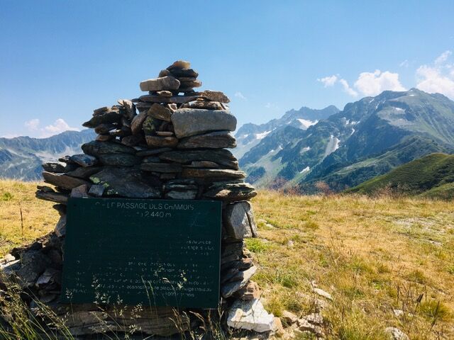
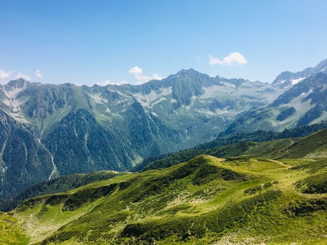
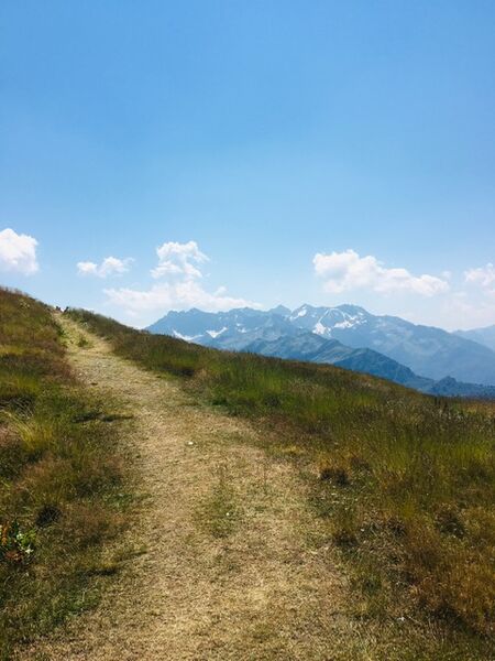
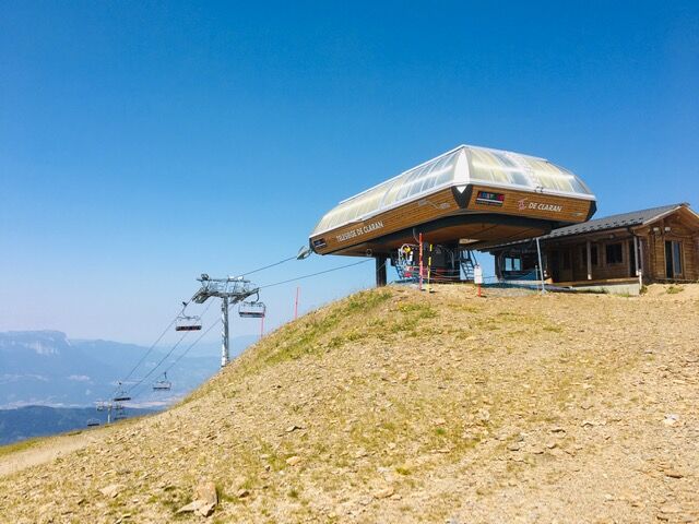
Un sentier d'interprétation situé à 2000 m d'altitude dans un cadre exceptionnel, accessible à tous en été grâce au télésiège de Claran.
The characteristics of the route.

Le Collet (38)
- Distance 2.5 km
- Elevation gain 100 m
- Elevation lost 90 m
- Min. elevation 2027 m
- Max. elevation. 2093 m
- Duration (depending on pace) 1h15
- Marking Yes
Equipments : Car park, Free car park, Admission fee : Free access.Opening : From 01/04 to 30/11 daily.
Subject to favorable weather.
Area : Grésivaudan
Report a problem
Features of the application :
- Location and orientation on detailed maps thanks to the GPS of your smartphone
- Description of routes and points of interest on the route
- Photo gallery by route
- Detailed elevation profile
- Route tracking alert to warn you if you stray from the route
- Send predefined messages by SMS to your contacts
- Emergency module: trigger a call or send an emergency SMS in case of problem
- Agenda: access to events organized in the department
- News: find in the application the latest news on the web portal
- Adding achievements
- Add reports in case of problems encountered on the routes
- Share on social networks
Add your time and share your feelings
Services nearby

La Pierre du Carre Refuge
Le Collet

Le Collet Tourist Information Office
Le Collet

Forges et Moulins de Pinsot
Le Haut-Bréda
Allevard Museum
Allevard-les-Bains
Bureau d'Information Touristique d'Allevard-les-Bains
Allevard-les-Bains


Information updated on 2026-03-04 by Isère Attractivité


Follow us on
the digital trails
the digital trails


![]()
The Isère Outdoor application was created
by the Département de l'Isère
Infos & contact
Conseil départemental de l'Isère
7 rue Fantin Latour
CS 41096
38 022 Grenoble cedex 1
Tel. 04 76 00 38 38
 Isère Outdoor - Parcours - Parcours d'interprétation des Crêtes des Plagnes
Hello, world! This is a toast message.
Isère Outdoor - Parcours - Parcours d'interprétation des Crêtes des Plagnes
Hello, world! This is a toast message.
Isère Outdoor - Parcours - Parcours d'interprétation des Crêtes des Plagnes
Hello, world! This is a toast message.


OK
Annuler