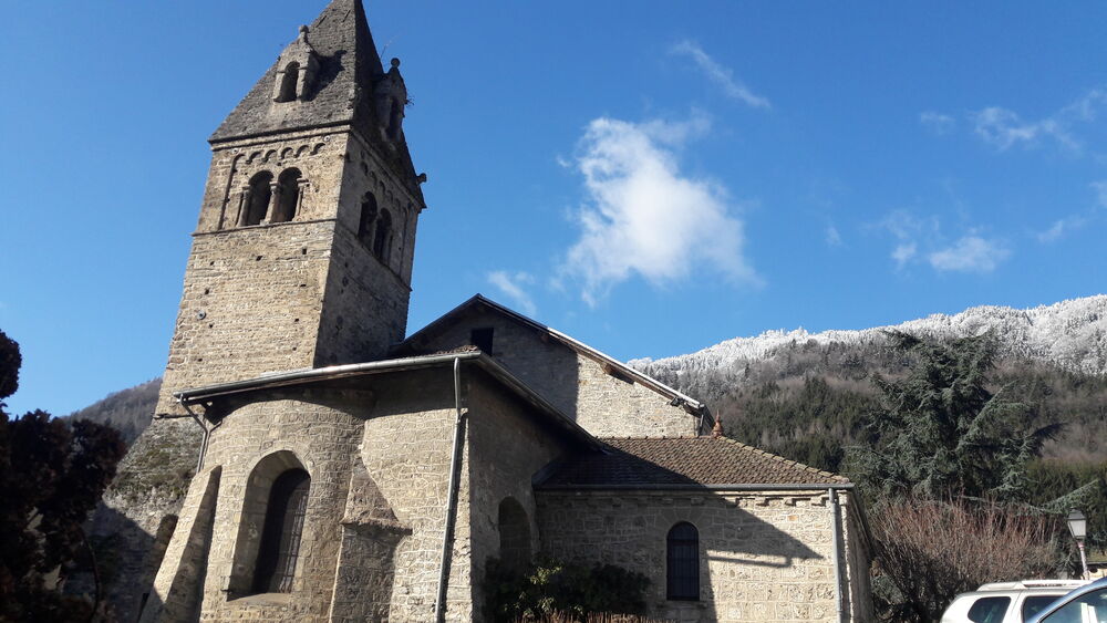
La chapelle Saint Christophe
Add to my favorites

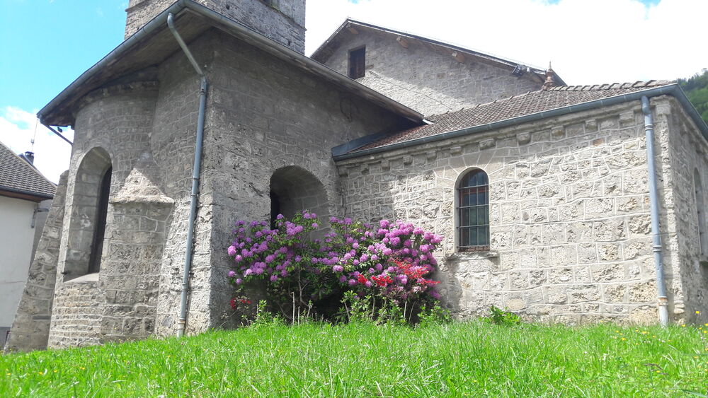
Cette balade vous mènera sur les hauteur de Saint Pierre d'Allevard, commune de Crêts-en-Belledonne en empruntant un sentier qui vous fera découvrir le patrimoine local.
The characteristics of the route.

Crêts en Belledonne (38)
- Distance 8.4 km
- Elevation gain 560 m
- Elevation lost 560 m
- Min. elevation 517 m
- Max. elevation. 981 m
- Duration (depending on pace) 3h
- Marking Yes
Equipments : Free car park, Car park, Admission fee : Free of charge.Opening : All year round.
Subject to favorable weather.
Area : Grésivaudan
Report a problem
Pdf file Features of the application :
- Location and orientation on detailed maps thanks to the GPS of your smartphone
- Description of routes and points of interest on the route
- Photo gallery by route
- Detailed elevation profile
- Route tracking alert to warn you if you stray from the route
- Send predefined messages by SMS to your contacts
- Emergency module: trigger a call or send an emergency SMS in case of problem
- Agenda: access to events organized in the department
- News: find in the application the latest news on the web portal
- Adding achievements
- Add reports in case of problems encountered on the routes
- Share on social networks
Add your time and share your feelings
Services nearby

Allevard Museum
Allevard-les-Bains

Service animation du Bureau d'Information Touristique d'Allevard
Allevard-les-Bains
Bureau d'Information Touristique d'Allevard-les-Bains
Allevard-les-Bains
Forges et Moulins de Pinsot
Le Haut-Bréda

Foyer de ski de fond du Barioz
Crêts en Belledonne


Information updated on 2021-10-13 by Office de Tourisme de Belledonne Chartreuse


Follow us on
the digital trails
the digital trails


![]()
The Isère Outdoor application was created
by the Département de l'Isère
Infos & contact
Conseil départemental de l'Isère
7 rue Fantin Latour
CS 41096
38 022 Grenoble cedex 1
Tel. 04 76 00 38 38
 Isère Outdoor - Parcours - La chapelle Saint Christophe
Hello, world! This is a toast message.
Isère Outdoor - Parcours - La chapelle Saint Christophe
Hello, world! This is a toast message.
Isère Outdoor - Parcours - La chapelle Saint Christophe
Hello, world! This is a toast message.


OK
Annuler