Les Vorges - 12,8 km - Bleu
Add to my favorites

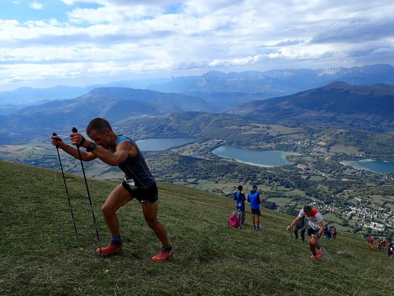
La montée du départ passe bien grâce au ruisseau qui la borde jusqu’à Cholonge. Le chemin en balcon, une légère remontée puis le final en descente permettront de profiter des vues sur le plateau !
The characteristics of the route.

Saint-Théoffrey (38)
- Distance 12.9 km
- Elevation gain 470 m
- Elevation lost 470 m
- Min. elevation 923 m
- Max. elevation. 1272 m
- Marking Yes
Features of the application :
- Location and orientation on detailed maps thanks to the GPS of your smartphone
- Description of routes and points of interest on the route
- Photo gallery by route
- Detailed elevation profile
- Route tracking alert to warn you if you stray from the route
- Send predefined messages by SMS to your contacts
- Emergency module: trigger a call or send an emergency SMS in case of problem
- Agenda: access to events organized in the department
- News: find in the application the latest news on the web portal
- Adding achievements
- Add reports in case of problems encountered on the routes
- Share on social networks
Add your time and share your feelings
Services nearby

Belvédère Olivier Messiaen
Saint-Théoffrey

Musuem "La Mine Image"
La Motte-d'Aveillans

Maison du Tourisme de La Motte d'Aveillans
La Motte-d'Aveillans
Alpe du Grand Serre Tourist Office
Alpe Du Grand Serre
Museum of the French Revolution
Vizille


Information updated on 2021-07-13 by Matheysine Tourisme


Follow us on
the digital trails
the digital trails


![]()
The Isère Outdoor application was created
by the Département de l'Isère
Infos & contact
Conseil départemental de l'Isère
7 rue Fantin Latour
CS 41096
38 022 Grenoble cedex 1
Tel. 04 76 00 38 38
 Isère Outdoor - Parcours - Les Vorges - 12,8 km - Bleu
Hello, world! This is a toast message.
Isère Outdoor - Parcours - Les Vorges - 12,8 km - Bleu
Hello, world! This is a toast message.
Isère Outdoor - Parcours - Les Vorges - 12,8 km - Bleu
Hello, world! This is a toast message.


OK
Annuler