Le tour de Prérond
Add to my favorites

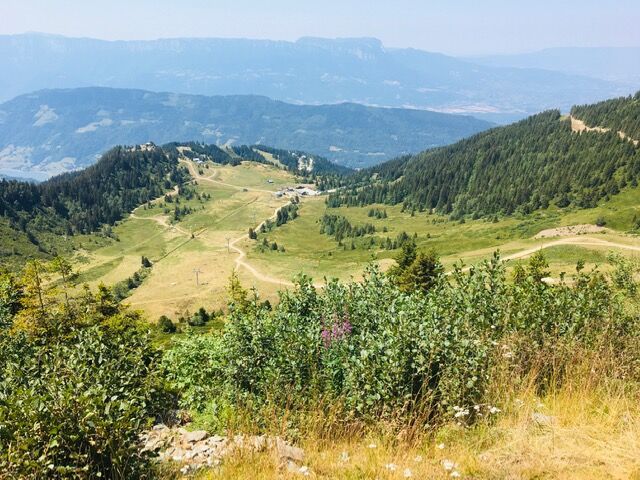
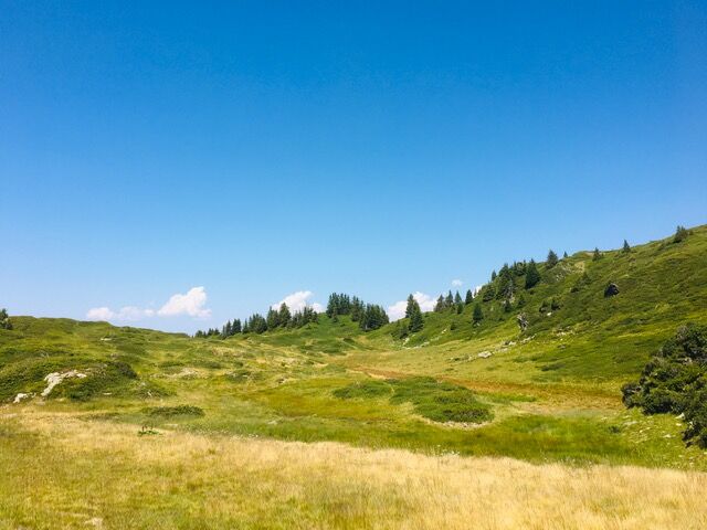
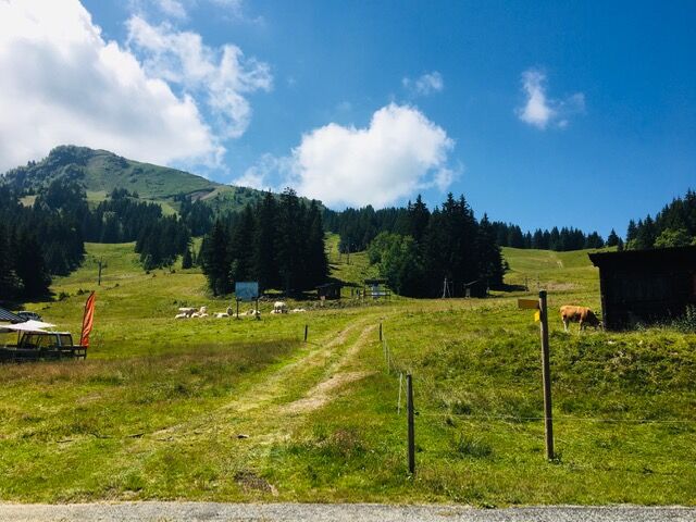
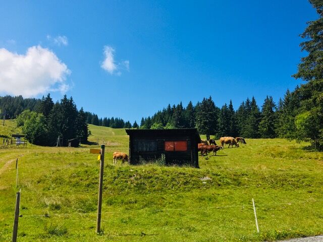
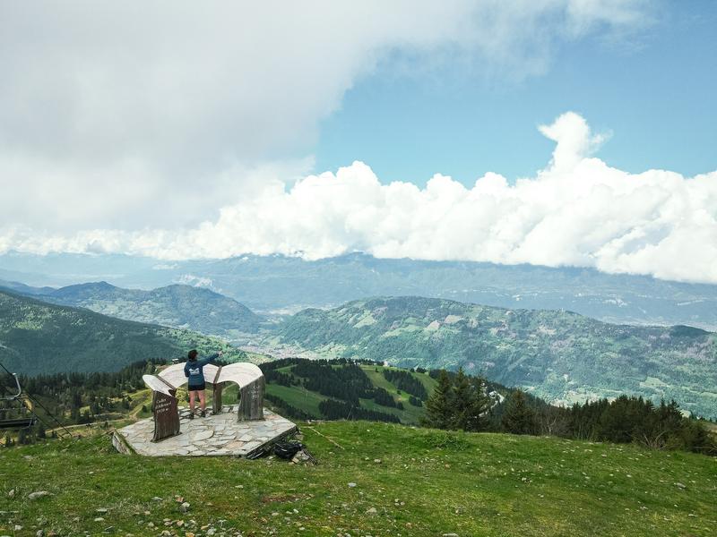
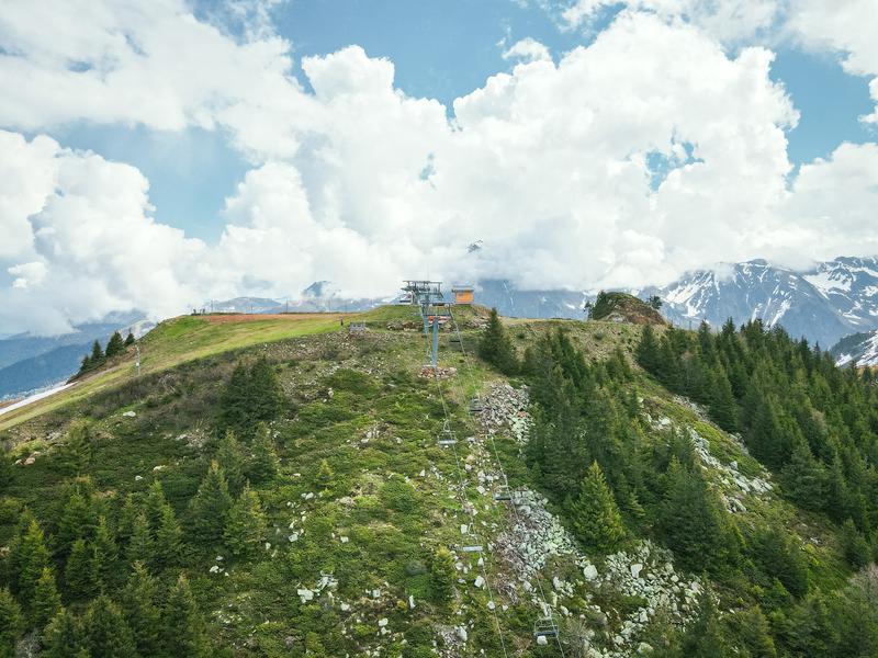
Cet itinéraire en boucle vous emmènera depuis le secteur boisé de Prérond jusqu'au Col de l'occiput pour redescendre vers le Super collet et rejoindre votre point de départ.
The characteristics of the route.

Le Collet (38)
- Distance 5.6 km
- Elevation gain 400 m
- Elevation lost 400 m
- Min. elevation 1553 m
- Max. elevation. 1880 m
- Duration (depending on pace) 2h30
- Marking Yes
Equipments : Free car park, Car park, Admission fee : Free of charge.Opening : From 01/04 to 30/11.
Subject to favorable weather.
Area : Grésivaudan
Report a problem
Le Tour de Prérond Features of the application :
- Location and orientation on detailed maps thanks to the GPS of your smartphone
- Description of routes and points of interest on the route
- Photo gallery by route
- Detailed elevation profile
- Route tracking alert to warn you if you stray from the route
- Send predefined messages by SMS to your contacts
- Emergency module: trigger a call or send an emergency SMS in case of problem
- Agenda: access to events organized in the department
- News: find in the application the latest news on the web portal
- Adding achievements
- Add reports in case of problems encountered on the routes
- Share on social networks
Add your time and share your feelings
Services nearby

Le Collet Tourist Information Office
Le Collet

La Pierre du Carre Refuge
Le Collet
Bureau d'Information Touristique d'Allevard-les-Bains
Allevard-les-Bains
Service animation du Bureau d'Information Touristique d'Allevard
Allevard-les-Bains

Allevard Museum
Allevard-les-Bains


Information updated on 2025-05-27 by Office de Tourisme de Belledonne Chartreuse


Follow us on
the digital trails
the digital trails


![]()
The Isère Outdoor application was created
by the Département de l'Isère
Infos & contact
Conseil départemental de l'Isère
7 rue Fantin Latour
CS 41096
38 022 Grenoble cedex 1
Tel. 04 76 00 38 38
 Isère Outdoor - Parcours - Le tour de Prérond
Hello, world! This is a toast message.
Isère Outdoor - Parcours - Le tour de Prérond
Hello, world! This is a toast message.
Isère Outdoor - Parcours - Le tour de Prérond
Hello, world! This is a toast message.


OK
Annuler