L'Emeindras par Habert de Chamechaude
Add to my favorites

Caution! Zone of vigilance near the route
Bachasson - du 26/07/2026 au 15/09/2026 Upcoming
Chamechaude - du 09/06/2026 au 25/06/2026 Upcoming
Habert Chamechaude - du 25/06/2026 au 26/07/2026 Upcoming
Piste de ski col de Porte - du 15/09/2026 au 28/09/2026 Upcoming
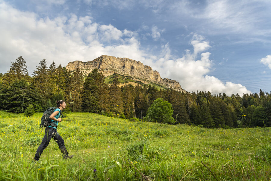
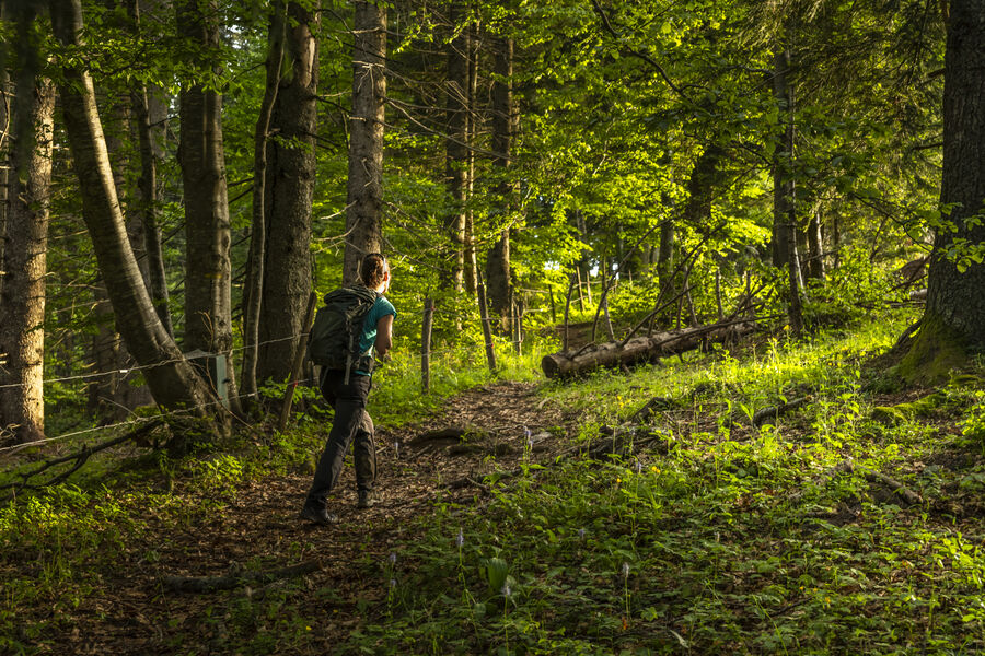
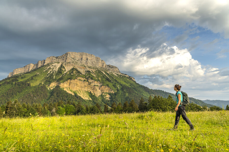
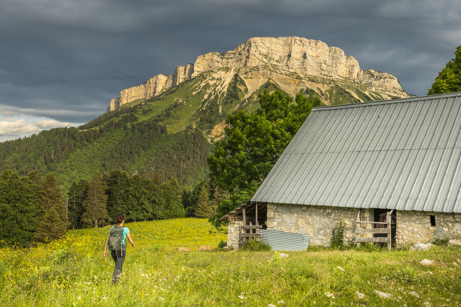
Under the benevolent gaze of Chamechaude, the highest peak of the Chartreuse, between deep forests, mountain pastures and limestone cliffs, a hike to discover a great diversity of landscapes
Route labeled FFRandonnée

The characteristics of the route.

Le Sappey-en-Chartreuse (38)
- Distance 11.2 km
- Elevation gain 660 m
- Elevation lost 660 m
- Min. elevation 999 m
- Max. elevation. 1595 m
- Duration (depending on pace) 4h30
- Marking Yes
Equipments : Car park, Free car park, Admission fee : Free access.Opening : All year round.
Subject to favorable weather.Step by step description : 1. From the "Le Sappey Église" post, take the road towards "La Charmette" to reach the "Croix du Rocher".
2. Turn left towards Les Combes. After 600 m, take a track towards "Les Allières"; it follows the bottom of the combe, then climbs along a torrent to reach a crossroads at the "Les Allières" post.
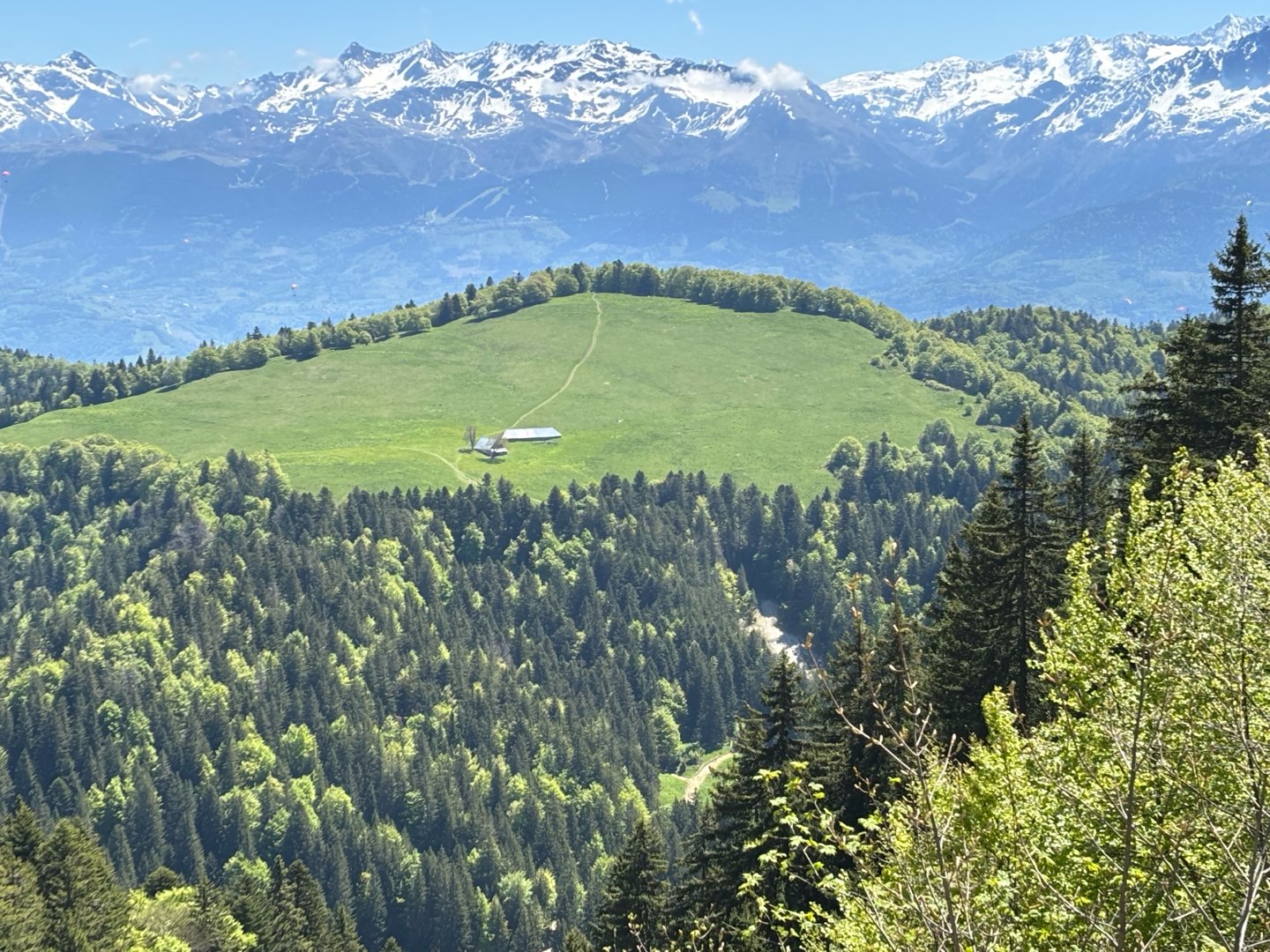
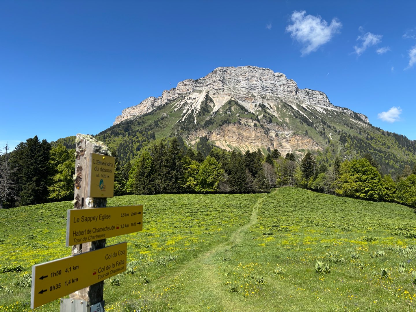
3. Follow the track to the right as far as L'Émeindras de dessous, then L'Émeindras de dessus. As you approach the mountain pastures, cross the fence and climb up the grassy path on sight, gaining a foothold on the meadows (panoramic view of Chamechaude, the Chartreuse and Vercors peaks).
4. At the Émeindras de dessus, follow the GR® 9 to the left towards the habert de Chamechaude. Shortly after the Col de l'Émeindras, the path continues up a steep, tightly-braced climb for 300 m, then along a balcony path, before descending to the habert de Chamechaude (breathtaking view of the Chamechaude cliffs).
5. Descend towards La Charmette, avoiding the forestry tracks, passing through Pied de Velouse to Montjalat le Haut. You can return to the starting point by following the GR® 9 straight on.
6. Leave the GR® 9 and turn right towards Col de Palaquit. After 400 m of steep ascent, reach a balcony path. Continue in the direction of Col de Palaquit to reach Le Réservoir.
7. Follow the GR® de Pays for 300 m in the direction of "Le Sappey Église". Leave it and follow the path on the left just before the main road. Take the Chemin des Crêts. Cross the D 512.
8. Take the impasse du Mollard on the right, then after 300 m, turn left on the GR® de Pays to reach the calvaire des Beauches (view of the Sagnes marshes).
9. Turn left towards Le Sappey. At the intersection with the D 512, turn right to reach the starting point.
Area : Grenoble-Alpes Métropole
Report a problem
Website Pdf file Features of the application :
- Location and orientation on detailed maps thanks to the GPS of your smartphone
- Description of routes and points of interest on the route
- Photo gallery by route
- Detailed elevation profile
- Route tracking alert to warn you if you stray from the route
- Send predefined messages by SMS to your contacts
- Emergency module: trigger a call or send an emergency SMS in case of problem
- Agenda: access to events organized in the department
- News: find in the application the latest news on the web portal
- Adding achievements
- Add reports in case of problems encountered on the routes
- Share on social networks
MumuIda
The 2025/05/18
En savoir plus
Ajouter votre chrono et partager vos sensations
Services nearby

Sappey-en-Chartreuse Tourist Information Center
Le Sappey-en-Chartreuse

Col de Porte
Sarcenas

Espace naturel sensible du col du Coq
Plateau des Petites Roches

Musée Hébert
La Tronche
Espace naturel sensible du Bois de la Batie
Saint-Ismier


Information updated on 2025-05-06 by Office de Tourisme Grenoble Alpes


Follow us on
the digital trails
the digital trails


![]()
The Isère Outdoor application was created
by the Département de l'Isère
Infos & contact
Conseil départemental de l'Isère
7 rue Fantin Latour
CS 41096
38 022 Grenoble cedex 1
Tel. 04 76 00 38 38
 Isère Outdoor - Parcours - L'Emeindras par Habert de Chamechaude
Hello, world! This is a toast message.
Isère Outdoor - Parcours - L'Emeindras par Habert de Chamechaude
Hello, world! This is a toast message.
Isère Outdoor - Parcours - L'Emeindras par Habert de Chamechaude
Hello, world! This is a toast message.


OK
Annuler