La petite route des balades tranquilles
Add to my favorites

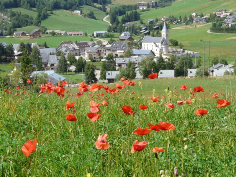
Easy route around the village to discover the local heritage and history of Corrençon.
Leaflet with children’s game available at the Tourist office.
The characteristics of the route.

Corrençon-en-Vercors (38)
- Distance 2.7 km
- Elevation gain 100 m
- Elevation lost 100 m
- Min. elevation 1094 m
- Max. elevation. 1153 m
- Duration (depending on pace) 1h30
- Marking Yes
Equipments : Free car park, Car park, Public WC, Charging stations for electric vehicles, Defibrillator, Picnic area, Play area, Admission fee : Free access.
Area : Massif du Vercors
Report a problem
Pdf file Features of the application :
- Location and orientation on detailed maps thanks to the GPS of your smartphone
- Description of routes and points of interest on the route
- Photo gallery by route
- Detailed elevation profile
- Route tracking alert to warn you if you stray from the route
- Send predefined messages by SMS to your contacts
- Emergency module: trigger a call or send an emergency SMS in case of problem
- Agenda: access to events organized in the department
- News: find in the application the latest news on the web portal
- Adding achievements
- Add reports in case of problems encountered on the routes
- Share on social networks
Add your time and share your feelings
Services nearby

Foyer de ski de fond des Hauts Plateaux
Corrençon-en-Vercors

Maison du Patrimoine
Villard-de-Lans

Office Municipal de Tourisme de Villard de Lans
Villard-de-Lans

Refuge La Soldanelle
Château-Bernard
Auberge des Allières
Lans-en-Vercors


Information updated on 2025-04-18 by Office de Tourisme de Corrençon en Vercors


Follow us on
the digital trails
the digital trails


![]()
The Isère Outdoor application was created
by the Département de l'Isère
Infos & contact
Conseil départemental de l'Isère
7 rue Fantin Latour
CS 41096
38 022 Grenoble cedex 1
Tel. 04 76 00 38 38
 Isère Outdoor - Parcours - La petite route des balades tranquilles
Hello, world! This is a toast message.
Isère Outdoor - Parcours - La petite route des balades tranquilles
Hello, world! This is a toast message.
Isère Outdoor - Parcours - La petite route des balades tranquilles
Hello, world! This is a toast message.


OK
Annuler