From Gières to the Gourlu pass
Add to my favorites

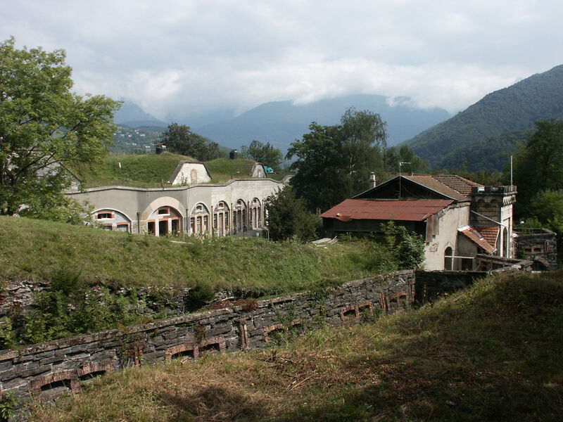
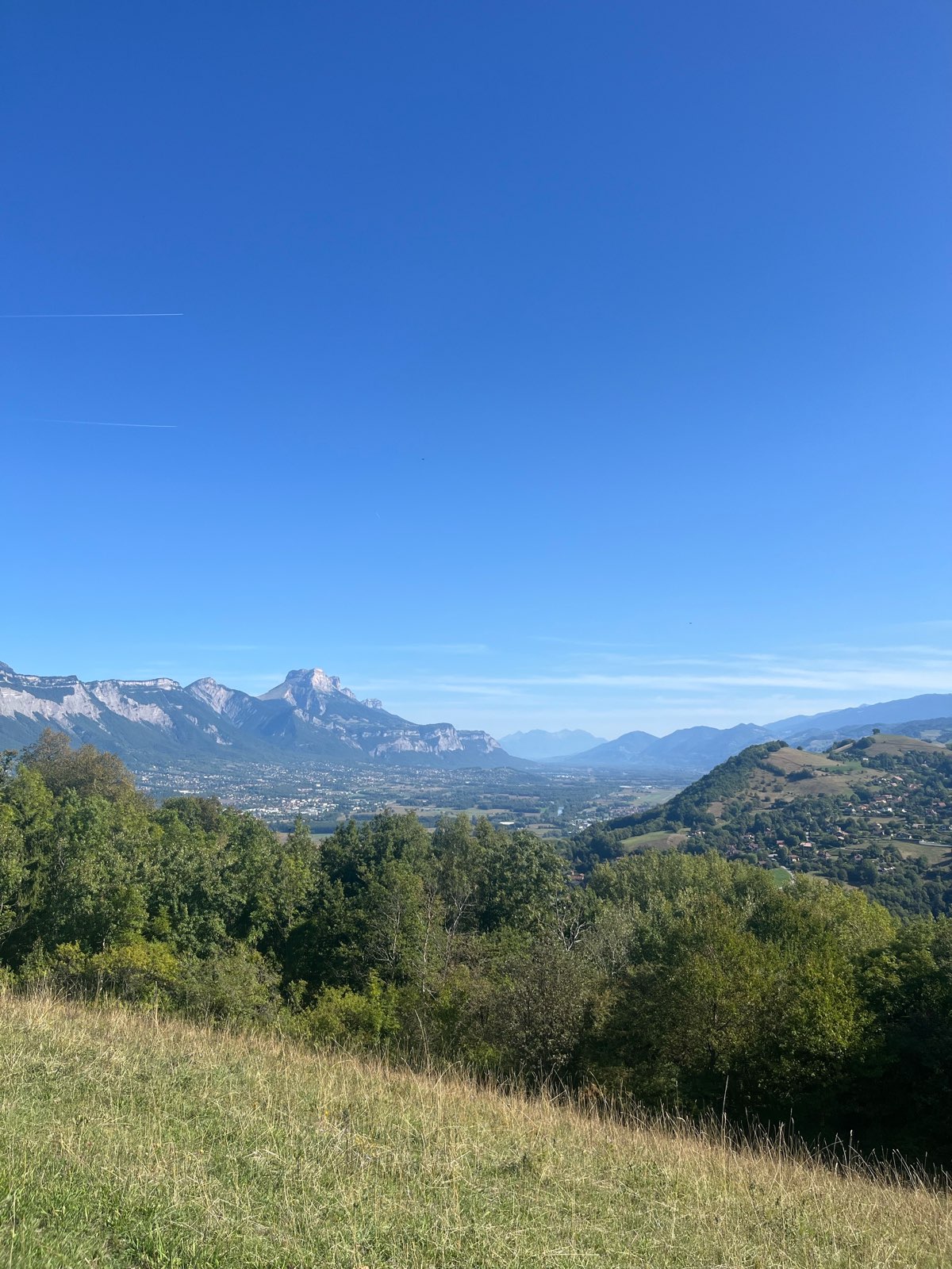
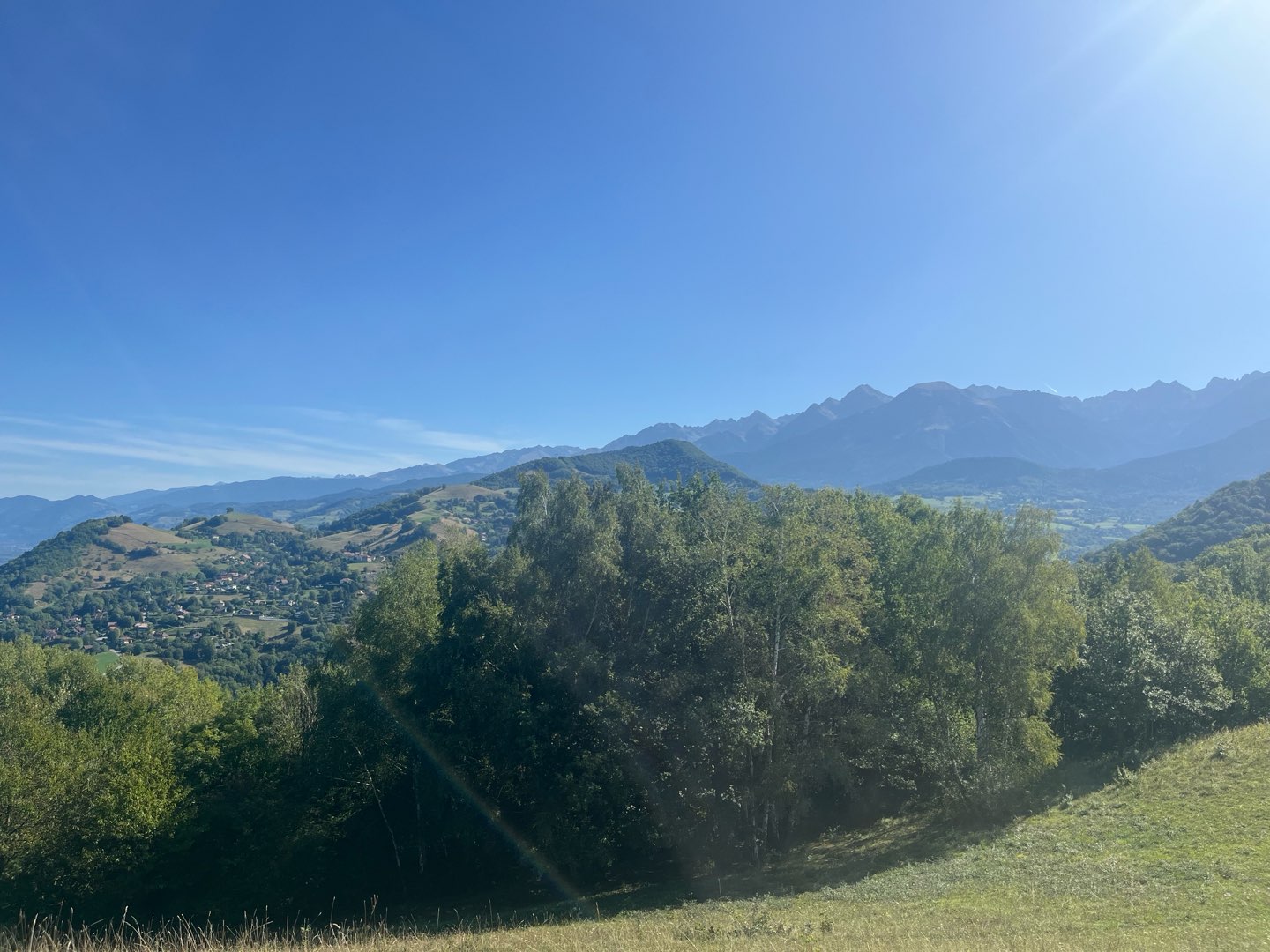
We propose to the hikers during this hike to join the heights of Gières, above the fort of Murier and to discover very beautiful points of view on the three massifs as well as on the valley of Isere.
The characteristics of the route.

Gières (38)
- Distance 8 km
- Elevation gain 400 m
- Elevation lost 400 m
- Min. elevation 231 m
- Max. elevation. 581 m
- Duration (depending on pace) 3h15
- Marking Yes
Equipments : Car park, Admission fee : Free access.Opening : All year round.Step by step description : From Place de la République, cross Grande Rue into Rue Victor Hugo, in the direction of Parc Michal. Pass in front of the Mairie and join the Cours des Taillandiers. The trailhead is at the intersection of rue du repos and avenue Henri Duhamel. The path passes close to the reservoirs, then rises rapidly on the northern shoulder of the Murier hill. 200 m further up, the path drops down to the Murier access road beside the fort. Head towards the village, then follow the signs for Villeneuve d'Uriage. Shortly afterwards, the balcony path overlooks the steep combe de Gières. After 500 m, at Les Combettes, turn right towards Col du Gourlu. At the pass, turn right towards the high batteries. The path runs alongside the buildings housing the artillery pieces. Just before, hikers can climb to the top of the hill: the best vantage point of the walk. 1 km further on, after a sharp 180° bend, join and cross the D112 towards the hamlet of Le Bigot. Go through the village, then turn right towards Les Collodes, 1 km further on. Take the road to Le Murier. At the crossroads, take the same route as before to reach Gières.
Area : Grenoble-Alpes Métropole
Report a problem
Website Features of the application :
- Location and orientation on detailed maps thanks to the GPS of your smartphone
- Description of routes and points of interest on the route
- Photo gallery by route
- Detailed elevation profile
- Route tracking alert to warn you if you stray from the route
- Send predefined messages by SMS to your contacts
- Emergency module: trigger a call or send an emergency SMS in case of problem
- Agenda: access to events organized in the department
- News: find in the application the latest news on the web portal
- Adding achievements
- Add reports in case of problems encountered on the routes
- Share on social networks
garn
The 2026/02/28
En savoir plus
garn
The 2025/09/07
En savoir plus
Ajouter votre chrono et partager vos sensations
2026/02/28 garn
Services nearby

Medical science museum of Grenoble
La Tronche
Musée Hébert
La Tronche
Muséum de Grenoble
Grenoble
Resistance Museum
Grenoble
The Old Bishop's Palace Museum
Grenoble


Information updated on 2025-05-06 by Office de Tourisme Grenoble Alpes


Follow us on
the digital trails
the digital trails


![]()
The Isère Outdoor application was created
by the Département de l'Isère
Infos & contact
Conseil départemental de l'Isère
7 rue Fantin Latour
CS 41096
38 022 Grenoble cedex 1
Tel. 04 76 00 38 38
 Isère Outdoor - Parcours - From Gières to the Gourlu pass
Hello, world! This is a toast message.
Isère Outdoor - Parcours - From Gières to the Gourlu pass
Hello, world! This is a toast message.
Isère Outdoor - Parcours - From Gières to the Gourlu pass
Hello, world! This is a toast message.


OK
Annuler