Le Luitel par La Chartreuse de Prémol
Add to my favorites

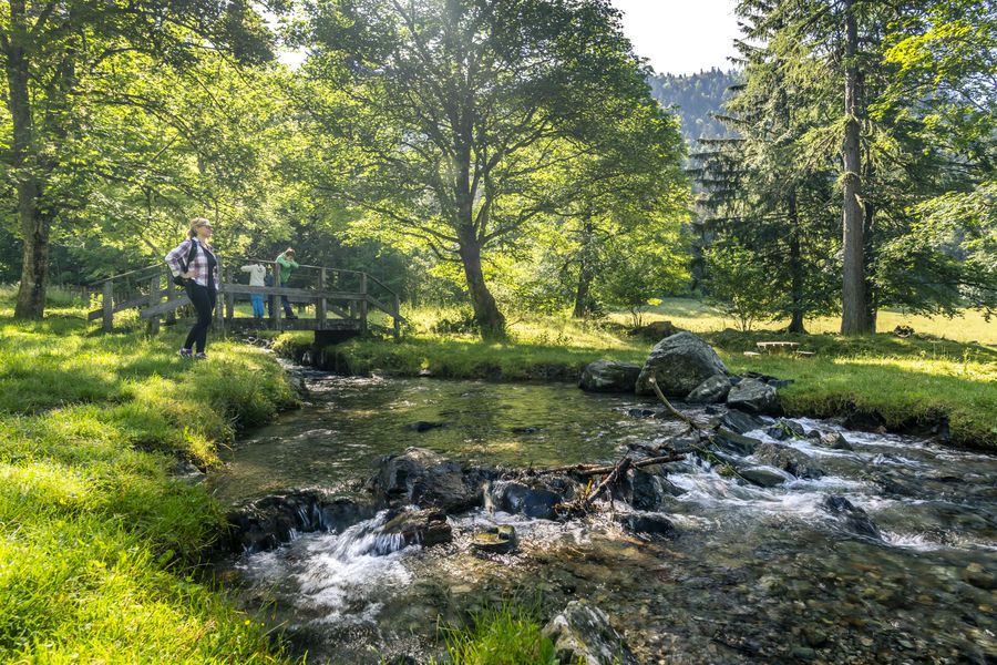
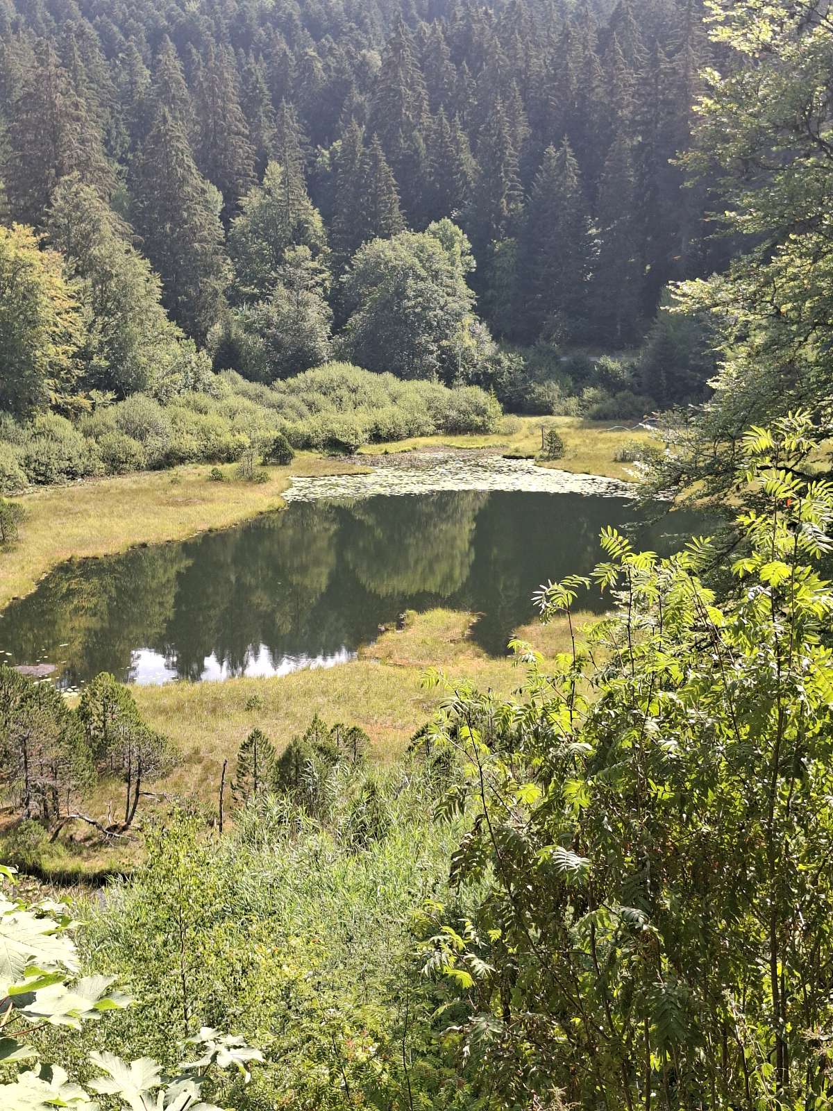
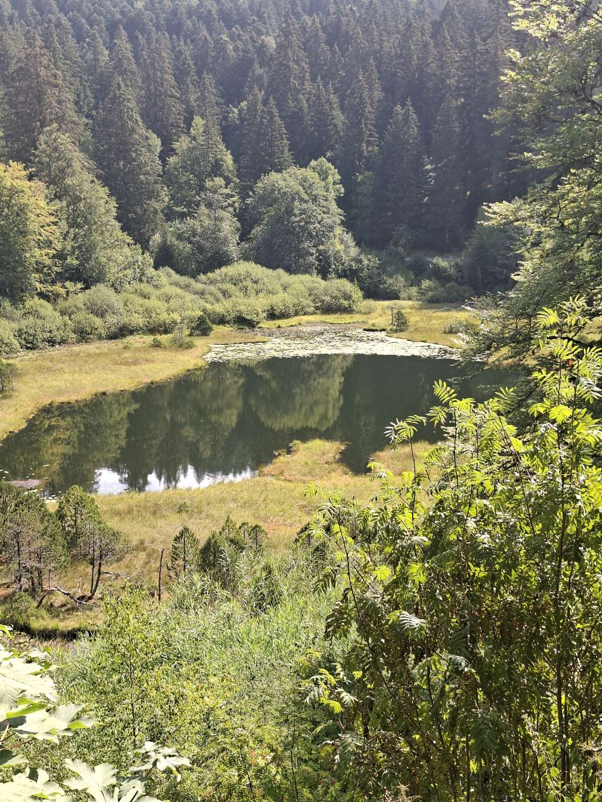
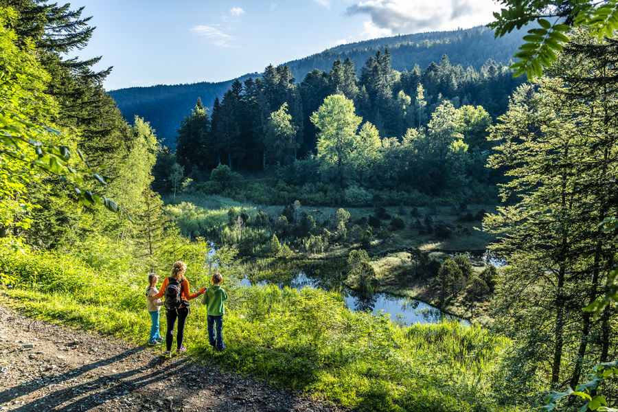
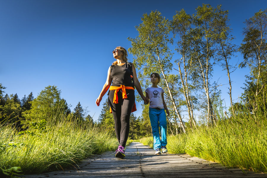
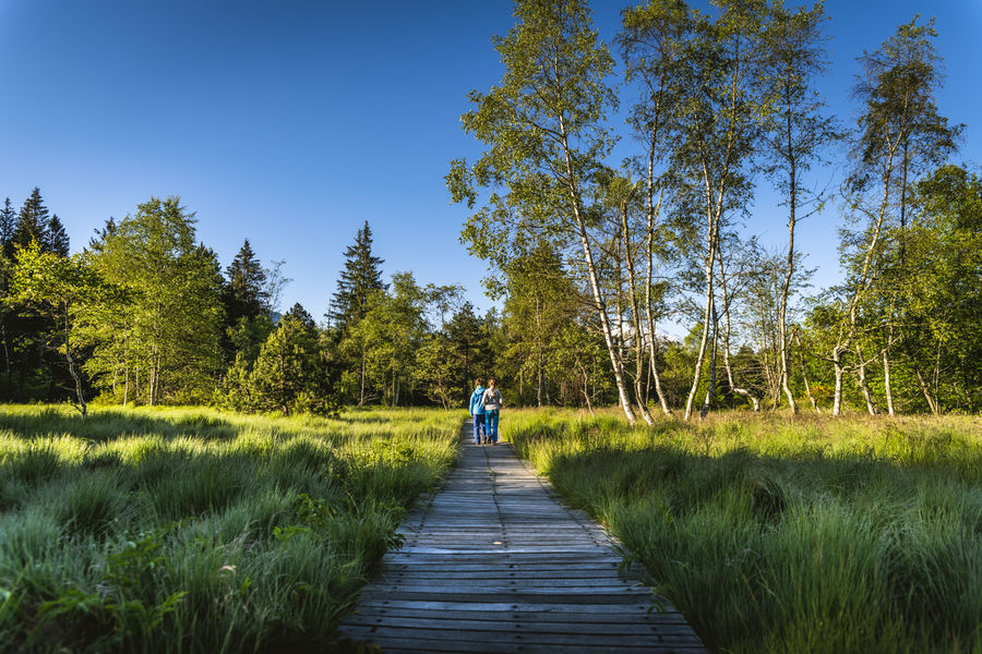
Between the history of the Luitel peat bog born during the last ice age, and that of the Prémol nuns, who settled in this corner of the Belledonne in 1234, this easy itinerary invites you to travel back in time.
The characteristics of the route.

Vaulnaveys-le-Haut (38)
- Distance 4.3 km
- Elevation gain 200 m
- Elevation lost 200 m
- Min. elevation 1069 m
- Max. elevation. 1256 m
- Duration (depending on pace) 1h30
- Marking Yes
Equipments : Picnic area, Car park, Admission fee : Free of chargeOpening : From 01/01 to 31/12.Step by step description : Departure is from the Chartreuse de Prémol parking lot. As soon as you leave the parking lot, you'll reach La Chartreuse de Prémol on your right. Continue along the road past the Prémol forest house towards the Fontaine du Mulet. At the end of the road, take the track rising to the right, exit onto the road and turn right to reach the Fontaine du Mulet. Take the forest track to the left towards Le Moulin, go straight on and at a right-hand hairpin bend take the steep track to the left towards L'Exutoire. At L'Exutoire, take the left-hand track. At the bottom, cross the Chamrousse road and take the track opposite, then continue to the Prémol parking lot, where you'll have to cross the road again to get back to the parking lot.
Area : Grenoble-Alpes Métropole
Report a problem
Website Pdf file Features of the application :
- Location and orientation on detailed maps thanks to the GPS of your smartphone
- Description of routes and points of interest on the route
- Photo gallery by route
- Detailed elevation profile
- Route tracking alert to warn you if you stray from the route
- Send predefined messages by SMS to your contacts
- Emergency module: trigger a call or send an emergency SMS in case of problem
- Agenda: access to events organized in the department
- News: find in the application the latest news on the web portal
- Adding achievements
- Add reports in case of problems encountered on the routes
- Share on social networks
The latest reviews & times

sabcal
The 2026/08/11
En savoir plus
sabcal
The 2026/08/11
En savoir plus
Zian_RB
finished in 01:00:00
The 2025/08/24
En savoir plus
See all reviews & times
2025/08/24 01:00:00
Zian_RB
Zian_RB
À l’ombre toute la ballade. La montée est assez raide jusqu’au lac
Services nearby

Arselle Peatbog (Preserved Natural Area)
Chamrousse

Chamrousse Tourist Office
Chamrousse

Romanche Museum
Livet-et-Gavet
Uriage-les-Bains Tourist Information Office
Saint-Martin-d'Uriage
Museum of the French Revolution
Vizille


Information updated on 2026-05-06 by Office de Tourisme Grenoble Alpes


Follow us on
the digital trails
the digital trails





The Isère Outdoor application was created
by the Département de l'Isère
Infos & contact
Conseil départemental de l'Isère
7 rue Fantin Latour
CS 41096
38 022 Grenoble cedex 1
Tel. 04 76 00 38 38
 Isère Outdoor - Parcours - Le Luitel par La Chartreuse de Prémol
Hello, world! This is a toast message.
Isère Outdoor - Parcours - Le Luitel par La Chartreuse de Prémol
Hello, world! This is a toast message.
Isère Outdoor - Parcours - Le Luitel par La Chartreuse de Prémol
Hello, world! This is a toast message.


OK
Annuler