La Traversée
Add to my favorites

Caution! Zone of vigilance near the route
Aigle royal - du 01/01/2026 au 31/08/2026 In progress
This route takes you from La Richardière (and vice versa) to the village of Chichilianne via Le Pleynet. The route alternates between forest passages and open views of Chichilianne and Mont-Aiguille.
The characteristics of the route.

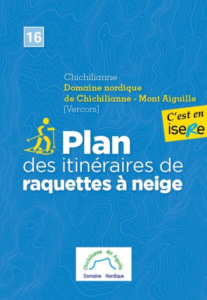
Chichilianne (38)
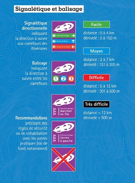
- Distance 7.8 km
- Elevation gain 290 m
- Elevation lost 290 m
- Min. elevation 984 m
- Max. elevation. 1156 m
- Duration (depending on pace) 3h
- Marking Yes
Marking : Purple beacons
N°3 blackEquipments : Public WC, Car park, Free car park, Admission fee : Free access.Opening : From 01/12 to 31/03 daily.
Subject to snow conditions.
Area : Trièves
Report a problem
Website Pdf file Features of the application :
- Location and orientation on detailed maps thanks to the GPS of your smartphone
- Description of routes and points of interest on the route
- Photo gallery by route
- Detailed elevation profile
- Route tracking alert to warn you if you stray from the route
- Send predefined messages by SMS to your contacts
- Emergency module: trigger a call or send an emergency SMS in case of problem
- Agenda: access to events organized in the department
- News: find in the application the latest news on the web portal
- Adding achievements
- Add reports in case of problems encountered on the routes
- Share on social networks
Add your time and share your feelings
Services nearby

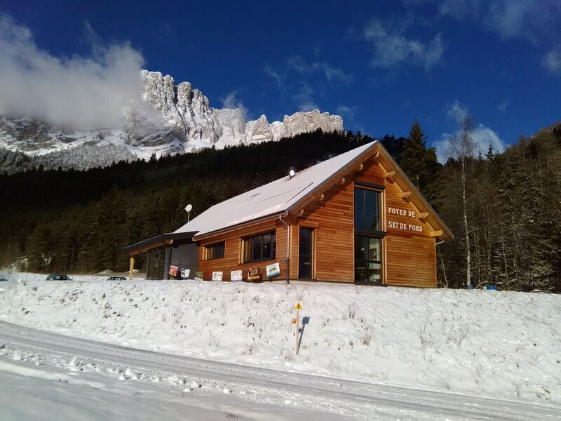
Foyer nordique de Chichilianne
Chichilianne

Point d'information Chichilianne
Chichilianne
Foyer nordique de Gresse-en-Vercors
Gresse-en-Vercors
Bureau d'Informations Touristiques de Gresse en Vercors - Office de Tourisme du Trièves
Gresse-en-Vercors

Espace Giono
Lalley


Information updated on 2026-01-13 by Office de Tourisme du Trièves


Follow us on
the digital trails
the digital trails


![]()
The Isère Outdoor application was created
by the Département de l'Isère
Infos & contact
Conseil départemental de l'Isère
7 rue Fantin Latour
CS 41096
38 022 Grenoble cedex 1
Tel. 04 76 00 38 38
 Isère Outdoor - Parcours - La Traversée
Hello, world! This is a toast message.
Isère Outdoor - Parcours - La Traversée
Hello, world! This is a toast message.
Isère Outdoor - Parcours - La Traversée
Hello, world! This is a toast message.


OK
Annuler