The water trail
Add to my favorites

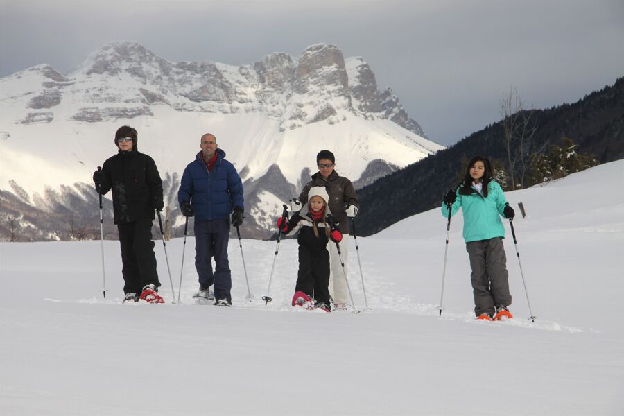
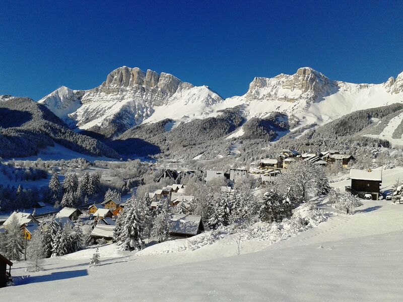
A very pleasant little loop, without any difficulties, with a passage on the edge of the forest where you may spot animal tracks! Identical to the summer "Sentier de l'eau" route, with blue information panels.
The characteristics of the route.

Gresse-en-Vercors (38)
- Distance 1.8 km
- Elevation gain 20 m
- Elevation lost 20 m
- Min. elevation 1218 m
- Max. elevation. 1242 m
- Duration (depending on pace) 1h
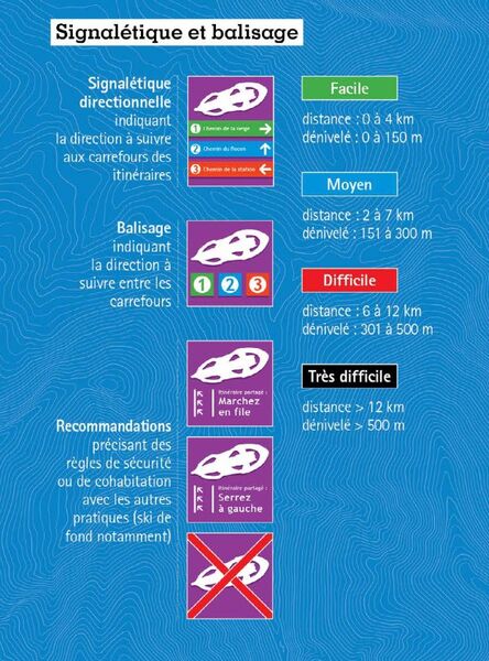
- Marking Yes
Themed trail through meadows and forests, with 5 stations explaining the history of water in the Gresse valley.Marking : Purple beacons
N°3 greenEquipments : Public WC, Car park, Free car park, Admission fee : Free access.Opening : From 01/12 to 31/03.
Area : Trièves
Report a problem
Website Gresse en Vercors - Plan des itinéraires raquettes Pdf file Features of the application :
- Location and orientation on detailed maps thanks to the GPS of your smartphone
- Description of routes and points of interest on the route
- Photo gallery by route
- Detailed elevation profile
- Route tracking alert to warn you if you stray from the route
- Send predefined messages by SMS to your contacts
- Emergency module: trigger a call or send an emergency SMS in case of problem
- Agenda: access to events organized in the department
- News: find in the application the latest news on the web portal
- Adding achievements
- Add reports in case of problems encountered on the routes
- Share on social networks
Add your time and share your feelings
Services nearby

Foyer nordique de Gresse-en-Vercors
Gresse-en-Vercors

Bureau d'Informations Touristiques de Gresse en Vercors - Office de Tourisme du Trièves
Gresse-en-Vercors
Foyer nordique de Chichilianne
Chichilianne
Point d'information du Môle (Lac de Monteynard-Avignonet)
Treffort
Point d'information Chichilianne
Chichilianne


Information updated on 2023-01-06 by Office de Tourisme du Trièves


Follow us on
the digital trails
the digital trails


![]()
The Isère Outdoor application was created
by the Département de l'Isère
Infos & contact
Conseil départemental de l'Isère
7 rue Fantin Latour
CS 41096
38 022 Grenoble cedex 1
Tel. 04 76 00 38 38
 Isère Outdoor - Parcours - The water trail
Hello, world! This is a toast message.
Isère Outdoor - Parcours - The water trail
Hello, world! This is a toast message.
Isère Outdoor - Parcours - The water trail
Hello, world! This is a toast message.


OK
Annuler