N 33 mountainbike itinerary : La plaine du Périer - blue path
Add to my favorites

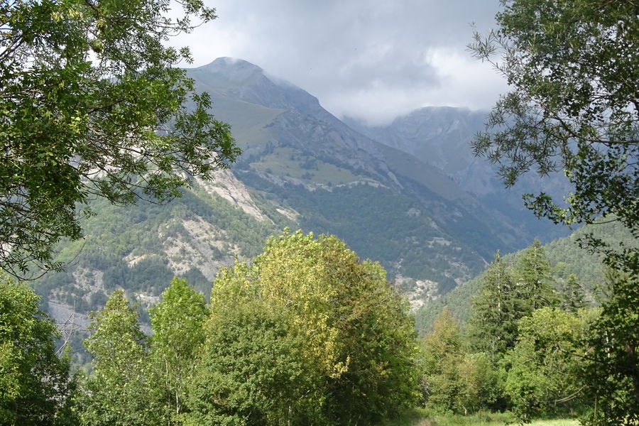
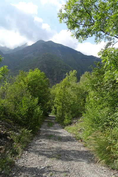
A nice and quiet trip to climb a lilttle above the plains of "the Perrier" at the feet of the mountains. The itinerary 33 starts at the church, difficulty level blue.
The characteristics of the route.

Le Périer (38)
- Distance 4.6 km
- Elevation gain 130 m
- Elevation lost 130 m
- Min. elevation 848 m
- Max. elevation. 945 m
- Duration (depending on pace) 0h30
- Marking Yes
Tour at the bottom of the mountains on a path well exposed to the setting sun.
You will visit the alleys of Périer and the hamlet of Bourcheny.
Departing from the Périer church. Route n ° 33 blue route.Equipments : Car park, Free car park, Admission fee : Free access.Opening : All year round. Subject to favorable weather.
You will visit the alleys of Périer and the hamlet of Bourcheny.
Departing from the Périer church. Route n ° 33 blue route.Equipments : Car park, Free car park, Admission fee : Free access.Opening : All year round. Subject to favorable weather.
Area : Matheysine
Report a problem
Website Features of the application :
- Location and orientation on detailed maps thanks to the GPS of your smartphone
- Description of routes and points of interest on the route
- Photo gallery by route
- Detailed elevation profile
- Route tracking alert to warn you if you stray from the route
- Send predefined messages by SMS to your contacts
- Emergency module: trigger a call or send an emergency SMS in case of problem
- Agenda: access to events organized in the department
- News: find in the application the latest news on the web portal
- Adding achievements
- Add reports in case of problems encountered on the routes
- Share on social networks
Add your time and share your feelings
Services nearby

Foyer de ski de fond du Col d'Ornon
Chantelouve

La Muzelle Hut
Venosc

Venosc Tourist Office - Les 2 Alpes
Venosc
Alpe du Grand Serre Tourist Office
Alpe Du Grand Serre
Maison du tourisme de Corps
Corps


Information updated on 2024-05-25 by Matheysine Tourisme


Follow us on
the digital trails
the digital trails


![]()
The Isère Outdoor application was created
by the Département de l'Isère
Infos & contact
Conseil départemental de l'Isère
7 rue Fantin Latour
CS 41096
38 022 Grenoble cedex 1
Tel. 04 76 00 38 38
 Isère Outdoor - Parcours - N 33 mountainbike itinerary : La plaine du Périer - blue path
Hello, world! This is a toast message.
Isère Outdoor - Parcours - N 33 mountainbike itinerary : La plaine du Périer - blue path
Hello, world! This is a toast message.
Isère Outdoor - Parcours - N 33 mountainbike itinerary : La plaine du Périer - blue path
Hello, world! This is a toast message.


OK
Annuler