The Prébois hillsides - Cycling path n°1
Add to my favorites

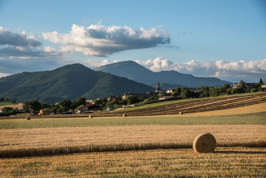
This loop begins at the hamlet of Avers, where you can see the vines planted on the south-facing slopes, before climbing to the village of Prébois, where you can enjoy a 360° panorama of the surrounding mountains!
The characteristics of the route.

Lalley (38)
- Distance 14.1 km
- Elevation gain 270 m
- Elevation lost 280 m
- Min. elevation 658 m
- Max. elevation. 863 m
- Duration (depending on pace) 1h
- Marking No
Equipments : Parking nearby, Good plans : You'll find everything you need for minor repairs at every Tourist Office branch.Admission fee : Free access.Opening : All year round.
Subject to favorable weather.
Area : Trièves
Report a problem
Website Pdf file Pdf file Features of the application :
- Location and orientation on detailed maps thanks to the GPS of your smartphone
- Description of routes and points of interest on the route
- Photo gallery by route
- Detailed elevation profile
- Route tracking alert to warn you if you stray from the route
- Send predefined messages by SMS to your contacts
- Emergency module: trigger a call or send an emergency SMS in case of problem
- Agenda: access to events organized in the department
- News: find in the application the latest news on the web portal
- Adding achievements
- Add reports in case of problems encountered on the routes
- Share on social networks
Add your time and share your feelings
Services nearby

Espace Giono
Lalley

Point d'information Tréminis
Tréminis

Foyer nordique de Tréminis
Tréminis
Musée du Trièves
Mens
Bureau d'Informations Touristiques de Mens - Office de Tourisme du Trièves
Mens


Information updated on 2024-12-19 by Office de Tourisme du Trièves


Follow us on
the digital trails
the digital trails


![]()
The Isère Outdoor application was created
by the Département de l'Isère
Infos & contact
Conseil départemental de l'Isère
7 rue Fantin Latour
CS 41096
38 022 Grenoble cedex 1
Tel. 04 76 00 38 38
 Isère Outdoor - Parcours - The Prébois hillsides - Cycling path n°1
Hello, world! This is a toast message.
Isère Outdoor - Parcours - The Prébois hillsides - Cycling path n°1
Hello, world! This is a toast message.
Isère Outdoor - Parcours - The Prébois hillsides - Cycling path n°1
Hello, world! This is a toast message.


OK
Annuler