The Waterfall of La Pisse and the lookout off basse pisse
Add to my favorites

Caution! Zone of vigilance near the route
Les Vaurzes - du 10/06/2026 au 15/10/2026 In progress
Font Turbat - du 01/07/2026 au 30/10/2026 In progress
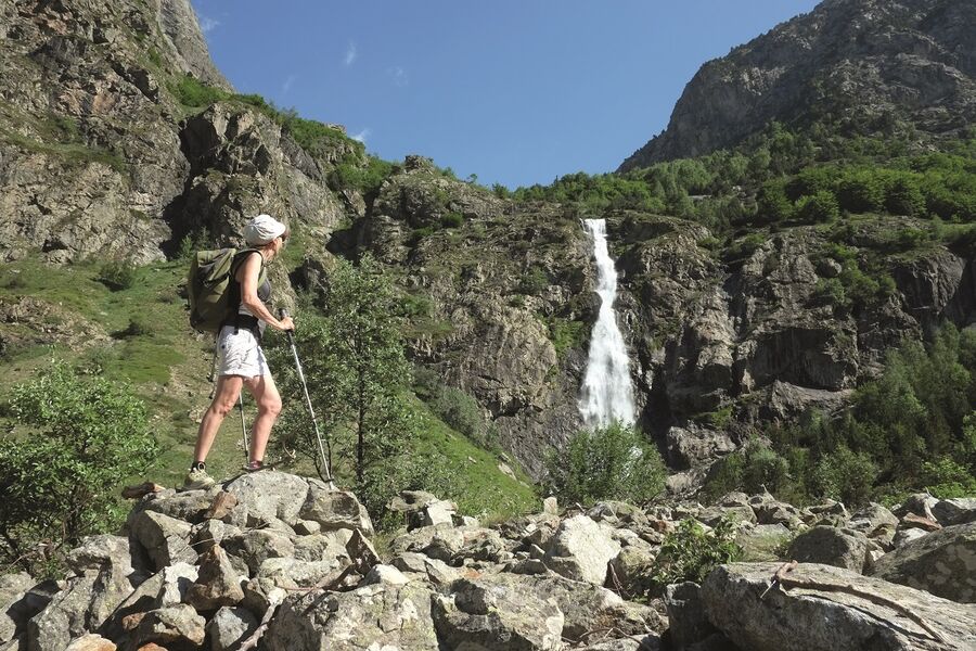
This trail allows you to safely enjoy the wild high mountain and feel the power of the elements.
Altitude climb + : 270 à 500 m
Outward walk : 3h à 4h30
Start : Le Désert-en-Valjouffrey
Difficulty : easy to difficult Map : Top 25 IGN 3336ETR Les 2 Alpes Trail map « Pays du Valbonnais »
The characteristics of the route.

Valjouffrey (38)
- Distance 10.4 km
- Elevation gain 510 m
- Elevation lost 510 m
- Min. elevation 1247 m
- Max. elevation. 1750 m
- Duration (depending on pace) 2h15
- Marking Yes
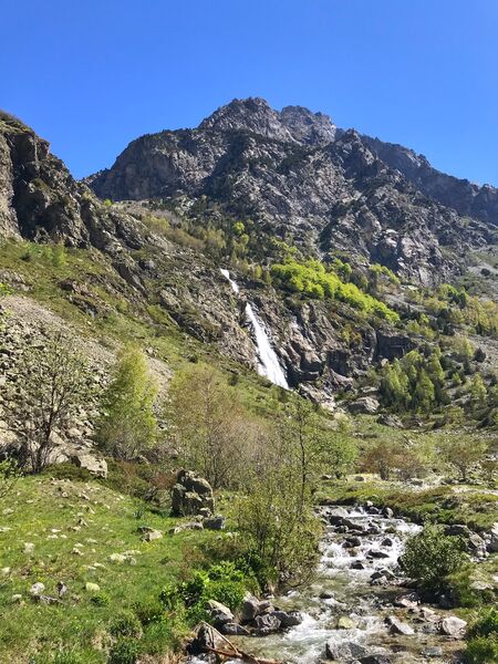
In the heart of the Ecrins National Park, go up the high valley of La Bonne. After crossing the village and pastures lined with rockeries, you will discover wild waterfalls along your path. The valley is U-shaped, characteristic of landscapes shaped by glaciers.
Start from the car park located at the entrance of Désert-en-Valjouffrey. Cross the village, following Font Turbat . Cross the GR 54 by crossing over the La Laisse River on the wood bridge. Take the large path in the pasture along La Bonne . Walk past the waterfall of La Pisse, crossing the La Pisse Torrent.
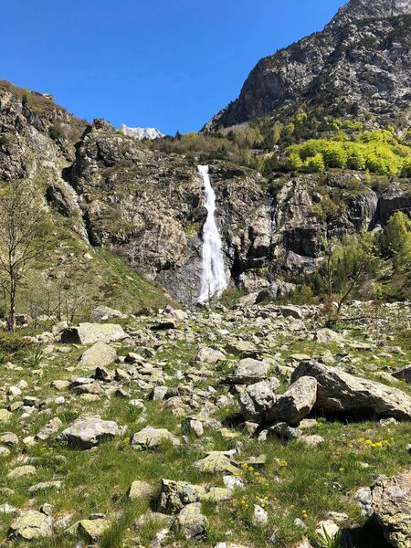
At the waterfall of la Pisse, which is 80m high, you can enjoy the site or climb higher to discover the mineral granite landscape at the cabin of La Pisse, with views over the Olan and the narrow valley of Font Turbat.
Elevation : + 487 m
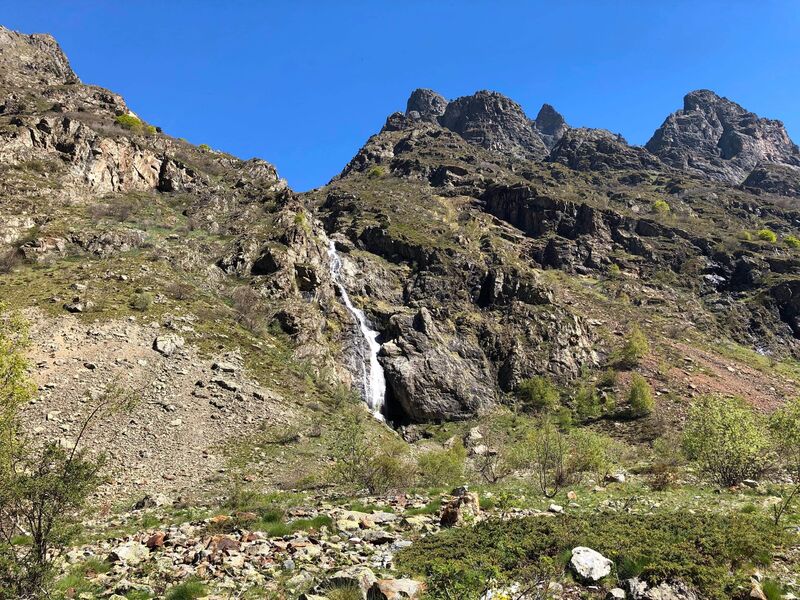
From there, carry on until a signpost indicating Basse Pisse to the left. The path takes you through a recolonised scree, then woods before reaching a ruin in an old meadow. Return by the same route.
Elevation : + 645 mEquipments : Car park, Free car park, Delicate passages : In summer the path is exposed to the sun and it can be very hot. Sunscreen, hat and water are essential.Admission fee : Free access.Opening : All year round daily. Subject to favorable snow and weather conditions.
Start from the car park located at the entrance of Désert-en-Valjouffrey. Cross the village, following Font Turbat . Cross the GR 54 by crossing over the La Laisse River on the wood bridge. Take the large path in the pasture along La Bonne . Walk past the waterfall of La Pisse, crossing the La Pisse Torrent.
At the waterfall of la Pisse, which is 80m high, you can enjoy the site or climb higher to discover the mineral granite landscape at the cabin of La Pisse, with views over the Olan and the narrow valley of Font Turbat.
Elevation : + 487 m
From there, carry on until a signpost indicating Basse Pisse to the left. The path takes you through a recolonised scree, then woods before reaching a ruin in an old meadow. Return by the same route.
Elevation : + 645 mEquipments : Car park, Free car park, Delicate passages : In summer the path is exposed to the sun and it can be very hot. Sunscreen, hat and water are essential.Admission fee : Free access.Opening : All year round daily. Subject to favorable snow and weather conditions.
Area : Matheysine
Report a problem
Website Pdf file Features of the application :
- Location and orientation on detailed maps thanks to the GPS of your smartphone
- Description of routes and points of interest on the route
- Photo gallery by route
- Detailed elevation profile
- Route tracking alert to warn you if you stray from the route
- Send predefined messages by SMS to your contacts
- Emergency module: trigger a call or send an emergency SMS in case of problem
- Agenda: access to events organized in the department
- News: find in the application the latest news on the web portal
- Adding achievements
- Add reports in case of problems encountered on the routes
- Share on social networks
Add your time and share your feelings
Services nearby

Refuge de Font Turbat
Valjouffrey
La Muzelle Hut
Venosc
La Lavey mountain hut
Saint-Christophe-en-Oisans - La Bérarde
Mountain hut l'Alpe du Pin
Saint-Christophe-en-Oisans - La Bérarde

Tourist office of St-Christophe-en-Oisans - La Bérarde
Saint-Christophe-en-Oisans - La Bérarde


Information updated on 2025-09-05 by Matheysine Tourisme


Follow us on
the digital trails
the digital trails





The Isère Outdoor application was created
by the Département de l'Isère
Infos & contact
Conseil départemental de l'Isère
7 rue Fantin Latour
CS 41096
38 022 Grenoble cedex 1
Tel. 04 76 00 38 38
 Isère Outdoor - Parcours - The Waterfall of La Pisse and the lookout off basse pisse
Hello, world! This is a toast message.
Isère Outdoor - Parcours - The Waterfall of La Pisse and the lookout off basse pisse
Hello, world! This is a toast message.
Isère Outdoor - Parcours - The Waterfall of La Pisse and the lookout off basse pisse
Hello, world! This is a toast message.


OK
Annuler