N° 31 Mountainbike itinerary : Les canaux de Valjouffrey, red
Add to my favorites

Caution! Zone of vigilance near the route
Col de l'Homme - du 10/06/2026 au 01/11/2026 In progress
Circaète Jean-le-Blanc - du 01/03/2026 au 30/09/2026 In progress
Aigle royal - du 01/01/2026 au 31/08/2026 In progress
La Pale - du 01/06/2026 au 31/10/2026 In progress
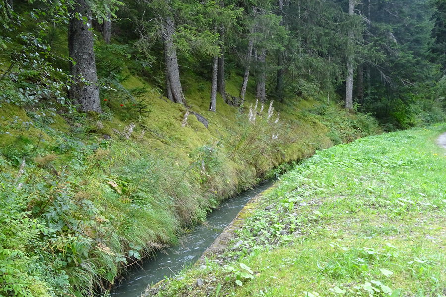
Perfect for hot summer day, the canals of the valjouffrey will offer you freshness in the shade of the spruces.
itinerary 31 . Difficulty : Red level
The characteristics of the route.

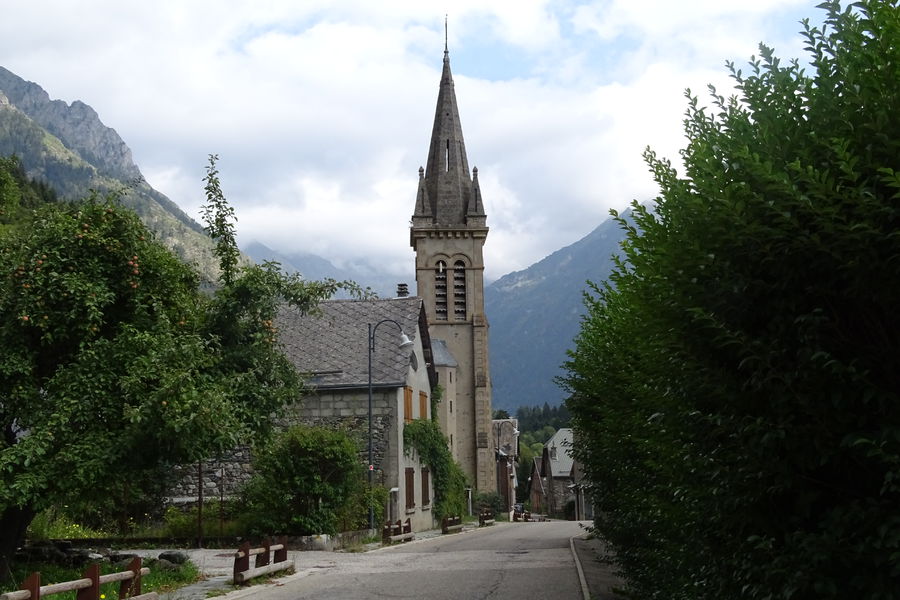
Valjouffrey (38)
- Distance 21.8 km
- Elevation gain 530 m
- Elevation lost 530 m
- Min. elevation 898 m
- Max. elevation. 1142 m
- Duration (depending on pace) 1h30
- Marking Yes
Equipments : Parking nearby, Admission fee : Free access.Opening : All year round.
Subject to favorable weather.
Area : Matheysine
Report a problem
Website Features of the application :
- Location and orientation on detailed maps thanks to the GPS of your smartphone
- Description of routes and points of interest on the route
- Photo gallery by route
- Detailed elevation profile
- Route tracking alert to warn you if you stray from the route
- Send predefined messages by SMS to your contacts
- Emergency module: trigger a call or send an emergency SMS in case of problem
- Agenda: access to events organized in the department
- News: find in the application the latest news on the web portal
- Adding achievements
- Add reports in case of problems encountered on the routes
- Share on social networks
Add your time and share your feelings
Services nearby

Maison du tourisme de Corps
Corps

Refuge de Font Turbat
Valjouffrey
La Muzelle Hut
Venosc
La Lavey mountain hut
Saint-Christophe-en-Oisans - La Bérarde

Heritage House
Pellafol


Information updated on 2024-05-18 by Matheysine Tourisme


Follow us on
the digital trails
the digital trails


![]()
The Isère Outdoor application was created
by the Département de l'Isère
Infos & contact
Conseil départemental de l'Isère
7 rue Fantin Latour
CS 41096
38 022 Grenoble cedex 1
Tel. 04 76 00 38 38
 Isère Outdoor - Parcours - N° 31 Mountainbike itinerary : Les canaux de Valjouffrey, red
Hello, world! This is a toast message.
Isère Outdoor - Parcours - N° 31 Mountainbike itinerary : Les canaux de Valjouffrey, red
Hello, world! This is a toast message.
Isère Outdoor - Parcours - N° 31 Mountainbike itinerary : Les canaux de Valjouffrey, red
Hello, world! This is a toast message.


OK
Annuler