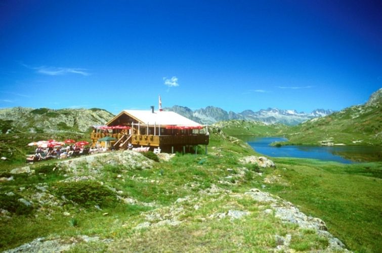
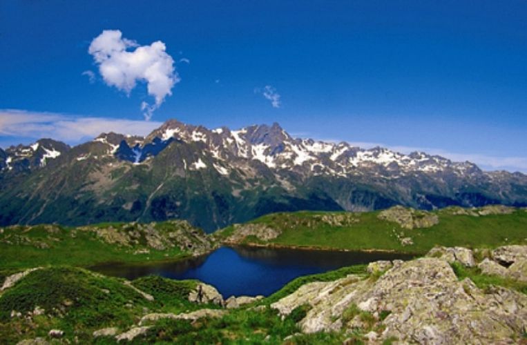
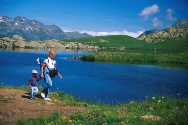
Lac Besson and plateau de l'Alpette
Add to my favorites

Caution! Zone of vigilance near the route
Alpage ovin d'Huez - du 15/06/2026 au 15/10/2026 Upcoming
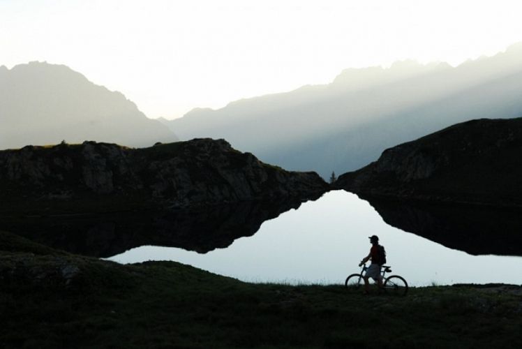
Whichever way you go, this path will take you from lake to lake, from one end to the other of a natural balcony perched between the Eau d'Olle valley and the Pic Blanc. Hikers can take the cable car from Oz-en-Oisans or Vaujany.
Route labeled FFRandonnée

The characteristics of the route.

Huez (38)
- Distance 5.8 km
- Elevation gain 130 m
- Elevation lost 130 m
- Min. elevation 2013 m
- Max. elevation. 2090 m
- Duration (depending on pace) 2h
- Marking Yes
Admission fee : Free access.Opening : From 01/05 to 31/10.
Area : Oisans
Report a problem
Website Pdf file Features of the application :
- Location and orientation on detailed maps thanks to the GPS of your smartphone
- Description of routes and points of interest on the route
- Photo gallery by route
- Detailed elevation profile
- Route tracking alert to warn you if you stray from the route
- Send predefined messages by SMS to your contacts
- Emergency module: trigger a call or send an emergency SMS in case of problem
- Agenda: access to events organized in the department
- News: find in the application the latest news on the web portal
- Adding achievements
- Add reports in case of problems encountered on the routes
- Share on social networks
Add your time and share your feelings
Services nearby

Oz en Oisans Tourist Office
Oz-en-Oisans

Musée d'Huez et de l'Oisans
Alpe d'Huez

La Fare mountain hut
Oz-en-Oisans
Office de Tourisme
Alpe d'Huez
Tourist office of Allemond
Allemond


Information updated on 2026-03-10 by Isère Attractivité


Follow us on
the digital trails
the digital trails


![]()
The Isère Outdoor application was created
by the Département de l'Isère
Infos & contact
Conseil départemental de l'Isère
7 rue Fantin Latour
CS 41096
38 022 Grenoble cedex 1
Tel. 04 76 00 38 38
 Isère Outdoor - Parcours - Lac Besson and plateau de l'Alpette
Hello, world! This is a toast message.
Isère Outdoor - Parcours - Lac Besson and plateau de l'Alpette
Hello, world! This is a toast message.
Isère Outdoor - Parcours - Lac Besson and plateau de l'Alpette
Hello, world! This is a toast message.


OK
Annuler