Around Torchefelon
Add to my favorites

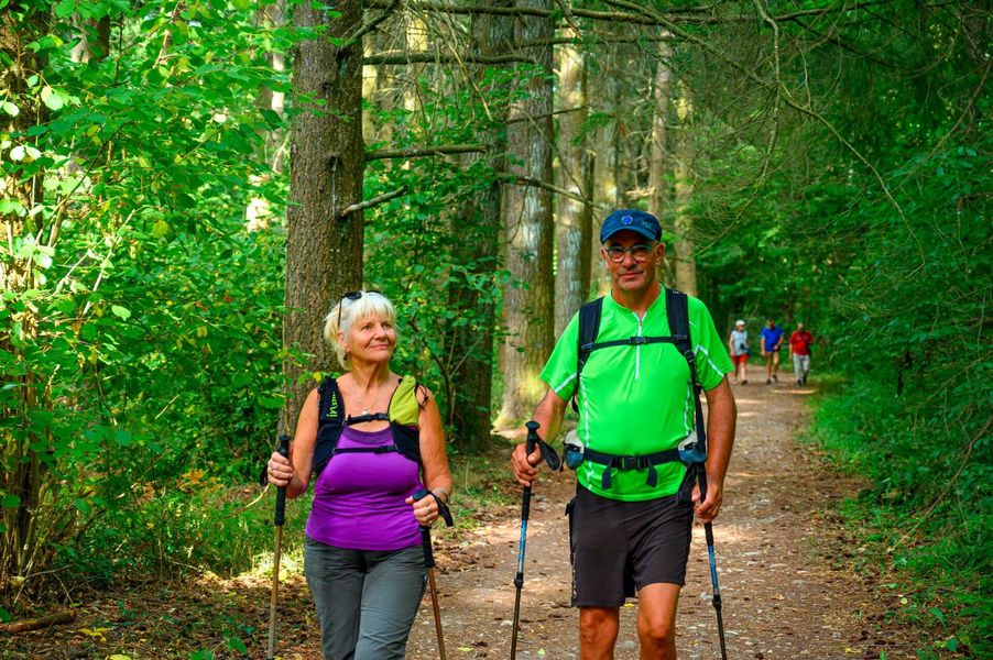
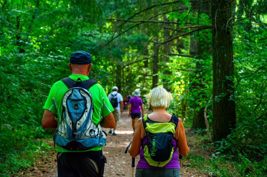
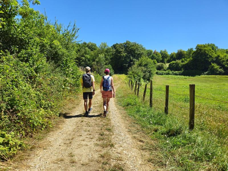
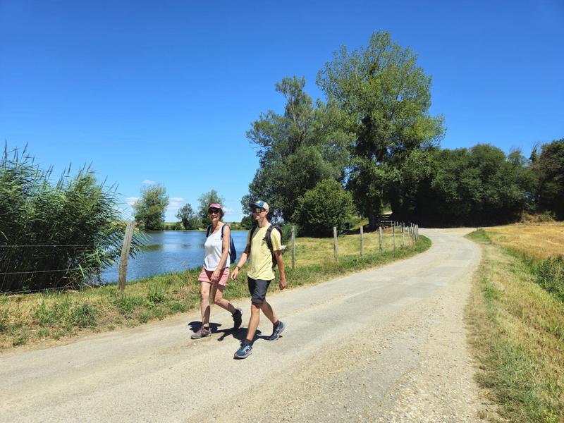
With this hike you will explore the Vallin forest, where are located the Rompu and Ravoux ponds, a limestone stream and the other one ferruginous. The hike ends with a beautiful panoramic view.
Route labeled FFRandonnée

The characteristics of the route.

Torchefelon (38)
- Distance 13.9 km
- Elevation gain 250 m
- Elevation lost 250 m
- Min. elevation 452 m
- Max. elevation. 598 m
- Duration (depending on pace) 3h45
- Marking Yes
ROUTE
From the salle des fêtes car park, take in the panoramic view described by the orientation table (view of the Chartreuse and Epine massifs, the Mont du Chat and Bugey - Mont-Blanc in the background on a clear day).
Follow the signposts for the ‘Forêt de Vallin’ through the village of Torchefelon. At the ‘Saint-Joseph’ crossroads, the trail makes a pleasant loop through the Forêt de Vallin, passing the Etang de Vallin and the pond.
Complete the loop and return to Saint-Joseph. Pass the ‘Forêt de Vallin’ car park and then the ‘Les Quatres Sapins’ signpost. Then head towards ‘Dessus Mirieu’, pass the Ravoux pond and follow the path up the Gadizieu stream. Continue on past ‘Dessus-Mirieu’ and join the D520 at the ‘Le Rapoux’ signpost. Walk carefully along it on the left for 50m, then find the Brumière path on your left. It leads to the ‘le Bessay’ signpost, then continue as far as ‘Marmonière’ and cross Torchefelon to return to the starting point.
WAYMARKING AND SIGNPOSTING
Follow the yellow markings and the following signposts:
TORCHEFELON > Torchefelon-Mairie > Marmonière > Saint-Joseph > La Thébaïde > Etang de Vallin > La Thébaïde > Saint-Joseph > Les Quatre Sapins > Dessus Mirieu > Le Rapoux > Le Bessay > Marmonière > Torchefelon-Mairie > TORCHEFELONMarking : Follow the yellow markings along the route.Equipments : Car park, Delicate passages : Remember to bring appropriate clothing and equipment in accordance with your ability level, the route, and the weather conditions. Stay vigilant along the D520 for 50m.Admission fee : Free access.Opening : All year round daily. Subject to favorable weather.
Area : Vals du Dauphiné
Report a problem
Website Features of the application :
- Location and orientation on detailed maps thanks to the GPS of your smartphone
- Description of routes and points of interest on the route
- Photo gallery by route
- Detailed elevation profile
- Route tracking alert to warn you if you stray from the route
- Send predefined messages by SMS to your contacts
- Emergency module: trigger a call or send an emergency SMS in case of problem
- Agenda: access to events organized in the department
- News: find in the application the latest news on the web portal
- Adding achievements
- Add reports in case of problems encountered on the routes
- Share on social networks
Add your time and share your feelings
Services nearby

Relais Cyné de Chateauvilain
Châteauvilain

Tourist information office of La Tour du Pin - Office de Tourisme des Vals du Dauphiné
La Tour-du-Pin
Relais Cyné de Châbons
Châbons

Clog museum
Val-de-Virieu

Etang de Gôle Sensitive Natural Area
Montcarra


Information updated on 2026-04-15 by Isère Attractivité


Follow us on
the digital trails
the digital trails


![]()
The Isère Outdoor application was created
by the Département de l'Isère
Infos & contact
Conseil départemental de l'Isère
7 rue Fantin Latour
CS 41096
38 022 Grenoble cedex 1
Tel. 04 76 00 38 38
 Isère Outdoor - Parcours - Around Torchefelon
Hello, world! This is a toast message.
Isère Outdoor - Parcours - Around Torchefelon
Hello, world! This is a toast message.
Isère Outdoor - Parcours - Around Torchefelon
Hello, world! This is a toast message.


OK
Annuler