La Font du Loup
Add to my favorites

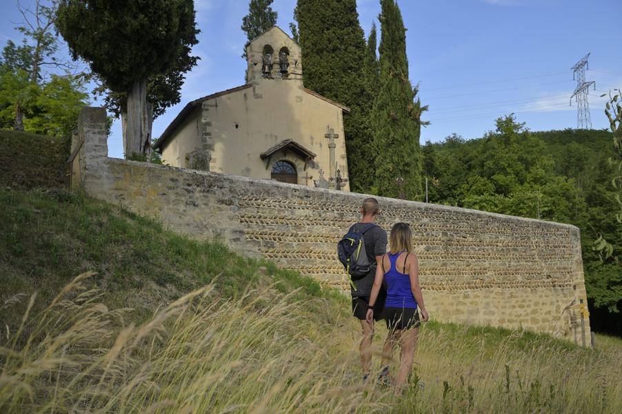
Partez pour cette Randonnée au départ de la chapelle de la Salette à l’ombre des chênes. Profitez de points de vue dégagés et découvrez l’espace naturel sensible de La Salette et ses orchidées.
Route labeled FFRandonnée

The characteristics of the route.

Bellegarde-Poussieu (38)
- Distance 10.3 km
- Elevation gain 220 m
- Elevation lost 220 m
- Min. elevation 329 m
- Max. elevation. 442 m
- Duration (depending on pace) 3h
- Marking Yes
Equipments : Car park, Admission fee : Free access.Opening : All year round.
Subject to favorable weather.
Area : Entre Bièvre et Rhône
Report a problem
Website Pdf file Features of the application :
- Location and orientation on detailed maps thanks to the GPS of your smartphone
- Description of routes and points of interest on the route
- Photo gallery by route
- Detailed elevation profile
- Route tracking alert to warn you if you stray from the route
- Send predefined messages by SMS to your contacts
- Emergency module: trigger a call or send an emergency SMS in case of problem
- Agenda: access to events organized in the department
- News: find in the application the latest news on the web portal
- Adding achievements
- Add reports in case of problems encountered on the routes
- Share on social networks
Add your time and share your feelings
Services nearby

Espace naturel sensible de la Salette
Bellegarde-Poussieu

Castle of Jarcieu
Jarcieu

Office de tourisme
Beaurepaire
Maison du Patrimoine
Roussillon
Bureau d'Information Touristique de Saint Maurice l'Exil
Saint-Maurice-l'Exil


Information updated on 2025-12-18 by Isère Attractivité


Follow us on
the digital trails
the digital trails


![]()
The Isère Outdoor application was created
by the Département de l'Isère
Infos & contact
Conseil départemental de l'Isère
7 rue Fantin Latour
CS 41096
38 022 Grenoble cedex 1
Tel. 04 76 00 38 38
 Isère Outdoor - Parcours - La Font du Loup
Hello, world! This is a toast message.
Isère Outdoor - Parcours - La Font du Loup
Hello, world! This is a toast message.
Isère Outdoor - Parcours - La Font du Loup
Hello, world! This is a toast message.


OK
Annuler