L'Arboretum de Saint-Sébastien
Add to my favorites

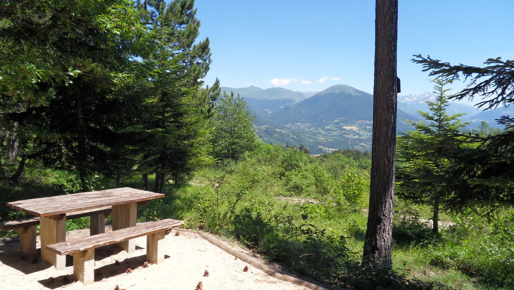
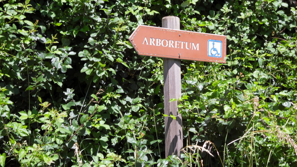
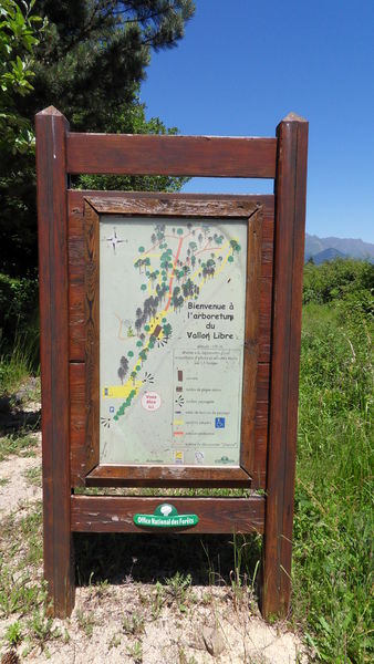
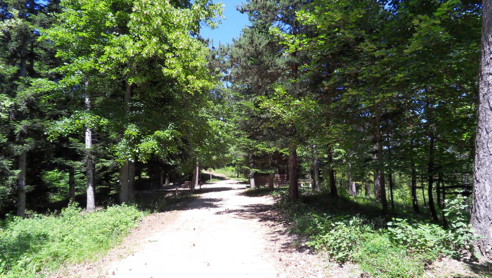
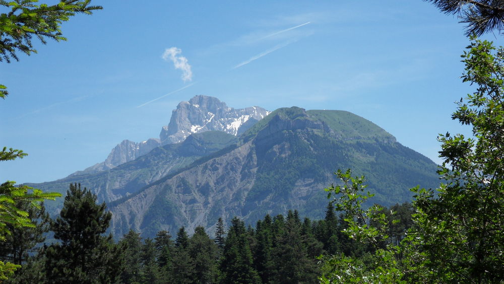
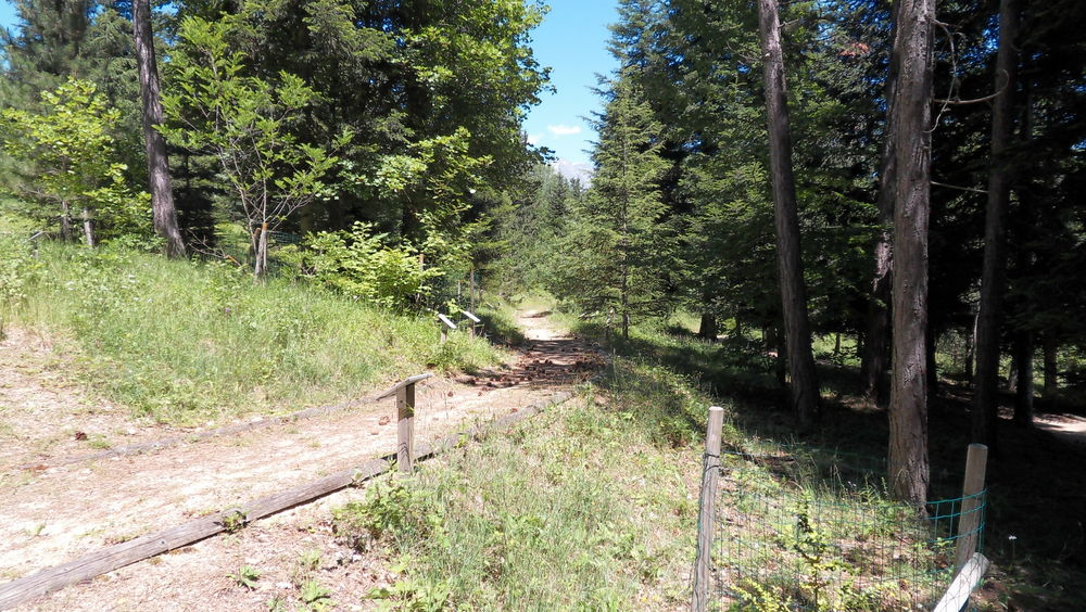
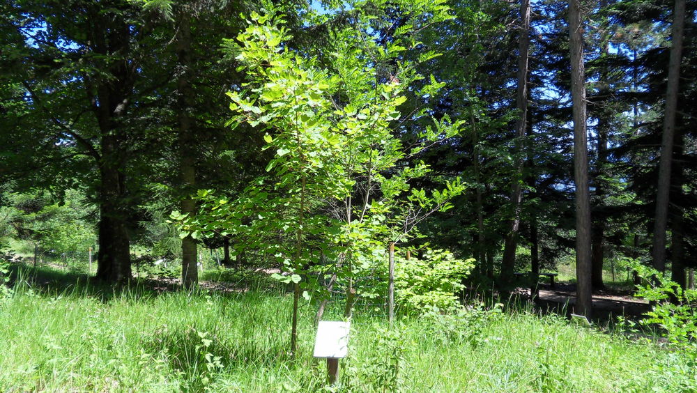
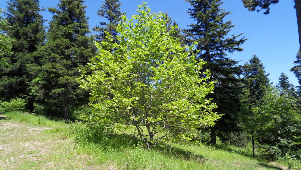
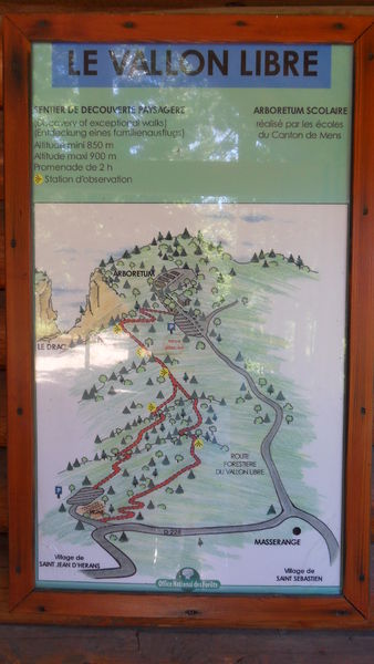
Ce sentier offre plusieurs points de vue commentés sur le coteau sud du Drac, son patrimoine et son histoire. Visiter l’arboretum, réalisé par les écoles primaires du canton de Mens et poursuivez sur un parcours offrant de beaux panoramas sur le Trièves.
Route labeled FFRandonnée

The characteristics of the route.

Châtel-en-Trièves (38)
- Distance 8.2 km
- Elevation gain 220 m
- Elevation lost 220 m
- Min. elevation 823 m
- Max. elevation. 954 m
- Duration (depending on pace) 2h30
- Marking Yes
Equipments : Car park, Admission fee : Free access.Opening : All year round daily.
Subject to favorable weather.
Area : Trièves
Report a problem
Website Pdf file Features of the application :
- Location and orientation on detailed maps thanks to the GPS of your smartphone
- Description of routes and points of interest on the route
- Photo gallery by route
- Detailed elevation profile
- Route tracking alert to warn you if you stray from the route
- Send predefined messages by SMS to your contacts
- Emergency module: trigger a call or send an emergency SMS in case of problem
- Agenda: access to events organized in the department
- News: find in the application the latest news on the web portal
- Adding achievements
- Add reports in case of problems encountered on the routes
- Share on social networks
Add your time and share your feelings
Services nearby

Museum "Musée Matheysin"
La Mure

Bureau d'Informations Touristiques de Mens - Office de Tourisme du Trièves
Mens
Musée du Trièves
Mens
Point d'information du Môle (Lac de Monteynard-Avignonet)
Treffort
Musuem "La Mine Image"
La Motte-d'Aveillans


Information updated on 2026-05-30 by Isère Attractivité


Follow us on
the digital trails
the digital trails


![]()
The Isère Outdoor application was created
by the Département de l'Isère
Infos & contact
Conseil départemental de l'Isère
7 rue Fantin Latour
CS 41096
38 022 Grenoble cedex 1
Tel. 04 76 00 38 38
 Isère Outdoor - Parcours - L'Arboretum de Saint-Sébastien
Hello, world! This is a toast message.
Isère Outdoor - Parcours - L'Arboretum de Saint-Sébastien
Hello, world! This is a toast message.
Isère Outdoor - Parcours - L'Arboretum de Saint-Sébastien
Hello, world! This is a toast message.


OK
Annuler