The Blue Valley Mountain-bike Tour
Add to my favorites

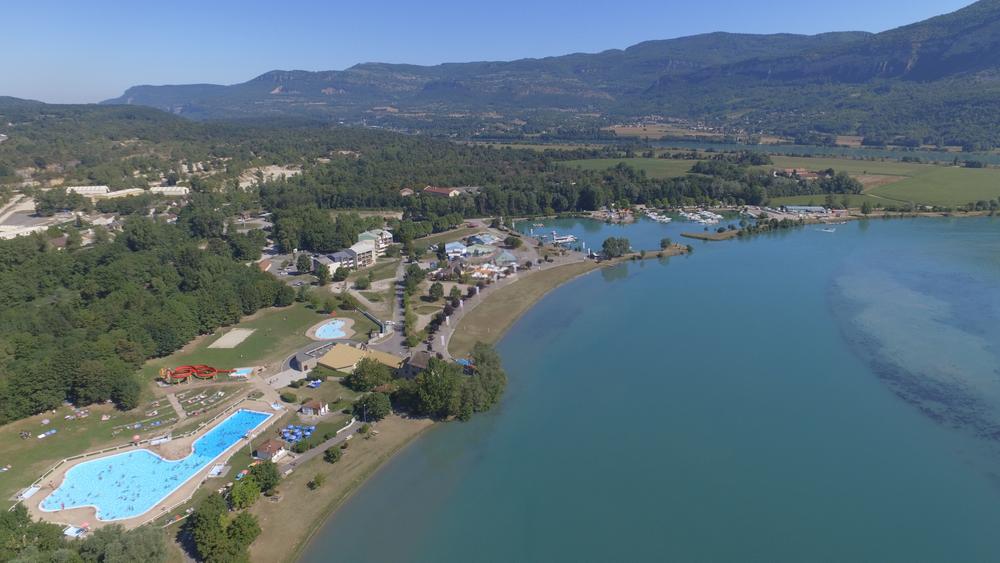
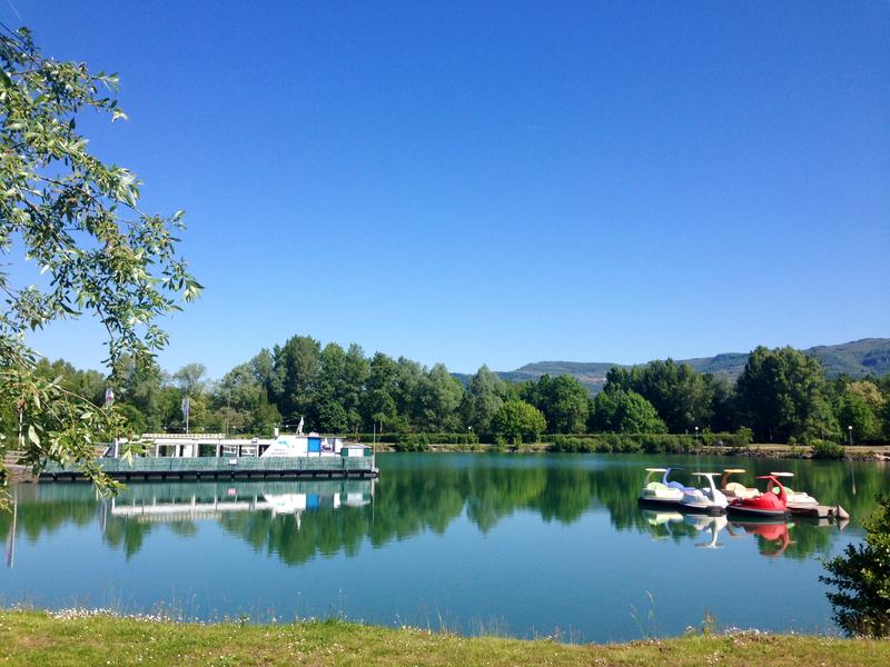
Discover the left and right banks of the Rhône in Ain and Isère, passing from one department to the other on the bridges of Sault-Brenaz/Isle de la Serre and Briord. On either side, the towpaths have a few secrets in store...
The characteristics of the route.

Montalieu-Vercieu (38)
- Distance 22.7 km
- Elevation gain 90 m
- Elevation lost 90 m
- Min. elevation 199 m
- Max. elevation. 258 m
- Duration (depending on pace) 1h20
- Marking Yes
Equipments : Car park, Public WC, Picnic area, Admission fee : Free access.Opening : All year round.
Subject to favorable weather.
Area : Balcons du Dauphiné
Report a problem
Website Pdf map Pdf map Features of the application :
- Location and orientation on detailed maps thanks to the GPS of your smartphone
- Description of routes and points of interest on the route
- Photo gallery by route
- Detailed elevation profile
- Route tracking alert to warn you if you stray from the route
- Send predefined messages by SMS to your contacts
- Emergency module: trigger a call or send an emergency SMS in case of problem
- Agenda: access to events organized in the department
- News: find in the application the latest news on the web portal
- Adding achievements
- Add reports in case of problems encountered on the routes
- Share on social networks
Add your time and share your feelings
Services nearby

Point Information Vallée Bleue
Montalieu-Vercieu

Relais Cyné in Bouvesse Quirieu
Bouvesse-Quirieu

Sortie Lo Parvi : Découverte des libellules
Charette
Etang de Lemps sensitive natural area
Optevoz

Hières-sur-Amby Heritage Centre
Hières-sur-Amby


Information updated on 2024-03-12 by Office du Tourisme Les Balcons du Dauphiné


Follow us on
the digital trails
the digital trails


![]()
The Isère Outdoor application was created
by the Département de l'Isère
Infos & contact
Conseil départemental de l'Isère
7 rue Fantin Latour
CS 41096
38 022 Grenoble cedex 1
Tel. 04 76 00 38 38
 Isère Outdoor - Parcours - The Blue Valley Mountain-bike Tour
Hello, world! This is a toast message.
Isère Outdoor - Parcours - The Blue Valley Mountain-bike Tour
Hello, world! This is a toast message.
Isère Outdoor - Parcours - The Blue Valley Mountain-bike Tour
Hello, world! This is a toast message.


OK
Annuler