MTB trail n° 2 - The heights of Lake Paladru
Add to my favorites

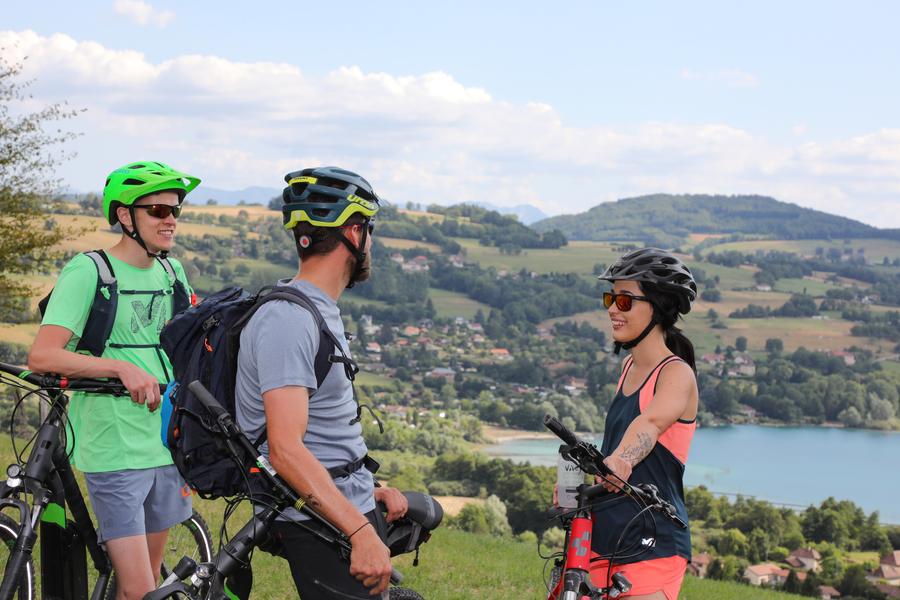
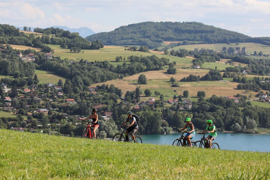
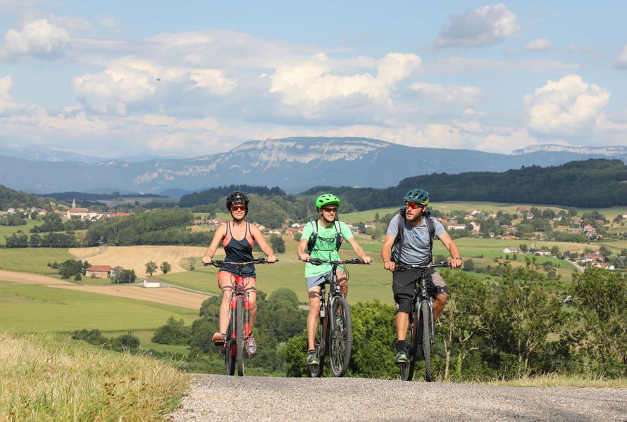
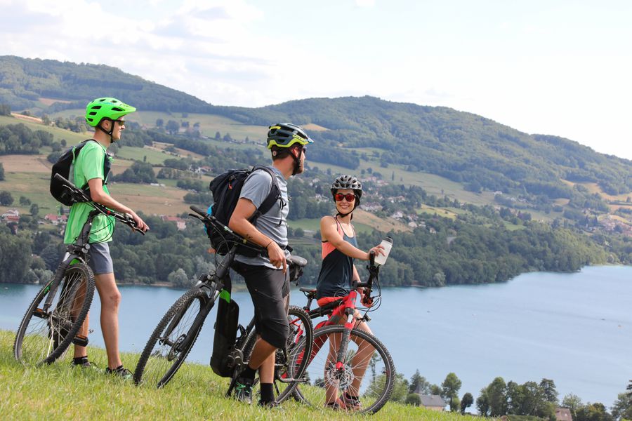
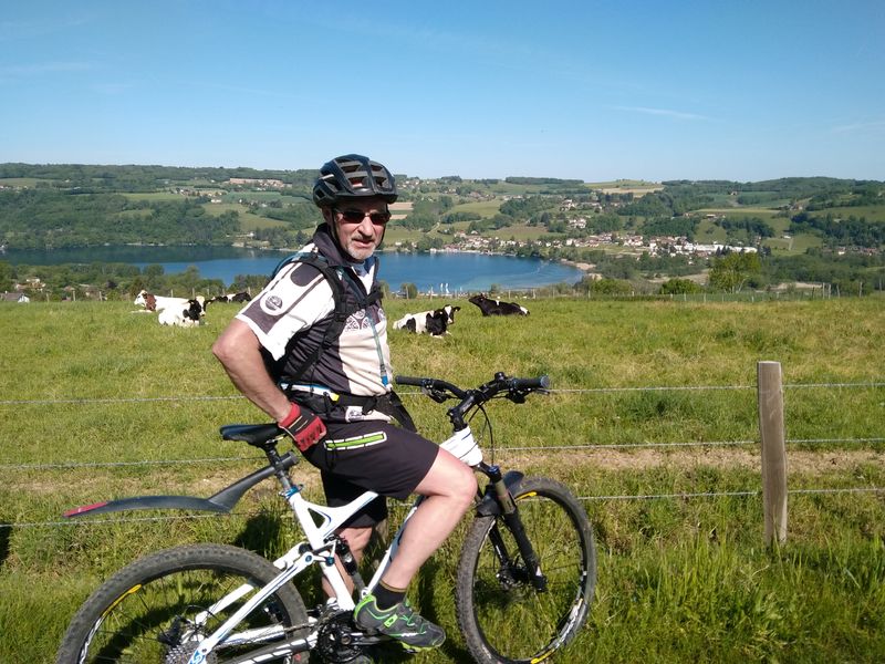
Ce circuit vous propose une immersion en forêt et sous-bois, avec un passage par le village du Pin et la Grange Dîmière. Un incontournable pour découvrir les reliefs environnants du lac de Paladru. Départ possible depuis Charavines avec le circuit n°5.
The characteristics of the route.

Villages du lac de Paladru (38)
- Distance 32.6 km
- Elevation gain 680 m
- Elevation lost 680 m
- Min. elevation 496 m
- Max. elevation. 724 m
- Marking Yes
Equipments : Car park, Public WC, Admission fee : Free access.Opening : All year round.
Subject to favorable weather.
Area : Pays Voironnais
Report a problem
Website Pdf file Features of the application :
- Location and orientation on detailed maps thanks to the GPS of your smartphone
- Description of routes and points of interest on the route
- Photo gallery by route
- Detailed elevation profile
- Route tracking alert to warn you if you stray from the route
- Send predefined messages by SMS to your contacts
- Emergency module: trigger a call or send an emergency SMS in case of problem
- Agenda: access to events organized in the department
- News: find in the application the latest news on the web portal
- Adding achievements
- Add reports in case of problems encountered on the routes
- Share on social networks
Add your time and share your feelings
Services nearby

Lake Paladru Archeological Museum
Villages du lac de Paladru

Espace Naturel Sensible des Marais de la Véronnière et du Courbon
Villages du lac de Paladru
Pégoud Museum
Montferrat

Relais Cyné de Montferrat
Montferrat
Clog museum
Val-de-Virieu


Information updated on 2025-02-18 by Office de Tourisme du Pays Voironnais


Follow us on
the digital trails
the digital trails


![]()
The Isère Outdoor application was created
by the Département de l'Isère
Infos & contact
Conseil départemental de l'Isère
7 rue Fantin Latour
CS 41096
38 022 Grenoble cedex 1
Tel. 04 76 00 38 38
 Isère Outdoor - Parcours - MTB trail n° 2 - The heights of Lake Paladru
Hello, world! This is a toast message.
Isère Outdoor - Parcours - MTB trail n° 2 - The heights of Lake Paladru
Hello, world! This is a toast message.
Isère Outdoor - Parcours - MTB trail n° 2 - The heights of Lake Paladru
Hello, world! This is a toast message.


OK
Annuler