Mandrin's land
Add to my favorites

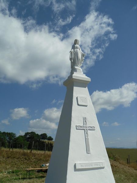
This trail is on the outskirts of Chambaran forest which was once a refuge for the famous smuggler Mandrin. Discover Château de Bressieux and the village of Roybon with original architecture.
The characteristics of the route.

Marnans (38)
- Distance 57.7 km
- Elevation gain 1060 m
- Elevation lost 1060 m
- Min. elevation 390 m
- Max. elevation. 716 m
- Duration (depending on pace) 4h
- Marking Yes
Start at Marnans: head for Saint-Etienne-de-Saint-Geoirs, past the factory, then Château de Bressieux.
Continue on the D130B and turn left towards Combe de Vaux.
After Saint-Étienne-de-Saint-Geoirs, head for Saint-Geoirs-la-Barrière. Carry on to Izeaux via Plan.
When you arrive in Izeaux, head down towards to La Forteresse on the F73B towards Saint-Paul-d'Izeaux and Girin.
Continue towards Saint-Michel-de-Saint-Geoirs via les Fourcoules, then follow the Toutes Aures pass via Brion.
Finally, head for Roybon on the D156 and turn right on to the D156C towards Marmans and your starting point.Good plans : Chambaran mushrooms: Chambaran forest is famous for its mushrooms, especially around the Col de Toutes Aures. Main species include penny buns, horns of plenty, chanterelles and grey chanterelles. Of course, the best season is autumn, but some mushrooms grow earlier, such as the summer cep, which grows under oak and beech trees from June to September. Nicolas Grandclaude, chef at Atelier Grandclaude in Marnans, is a big fan: "I love walking in Chambaran forest foraging for mushrooms. And I can serve them in my restaurant regularly, because I'm lucky enough to know gatherers who sell me their find. I use them in a range of recipes such as cream of mushroom soup, small biscuits and pan-fried penny bun mushrooms with parmesan and gravy. They give earthy flavours that are a regular feature of my autumn menu ".Admission fee : Free access.Opening : From 01/05 to 31/10. Subject to favorable weather.
Area : Bièvre Isère
Report a problem
Website Features of the application :
- Location and orientation on detailed maps thanks to the GPS of your smartphone
- Description of routes and points of interest on the route
- Photo gallery by route
- Detailed elevation profile
- Route tracking alert to warn you if you stray from the route
- Send predefined messages by SMS to your contacts
- Emergency module: trigger a call or send an emergency SMS in case of problem
- Agenda: access to events organized in the department
- News: find in the application the latest news on the web portal
- Adding achievements
- Add reports in case of problems encountered on the routes
- Share on social networks
Add your time and share your feelings
Services nearby

Espace naturel sensible de la Tourbière des Planchettes
Saint-Pierre-de-Bressieux

Musée de Bressieux
Bressieux

Roybon Tourist information center
Roybon

Relais Cyné de Chevrières
Chevrières
St Etienne de St Geoirs Tourist information center
Saint-Étienne-de-Saint-Geoirs


Information updated on 2022-06-13 by Isère Attractivité


Follow us on
the digital trails
the digital trails


![]()
The Isère Outdoor application was created
by the Département de l'Isère
Infos & contact
Conseil départemental de l'Isère
7 rue Fantin Latour
CS 41096
38 022 Grenoble cedex 1
Tel. 04 76 00 38 38
 Isère Outdoor - Parcours - Mandrin's land
Hello, world! This is a toast message.
Isère Outdoor - Parcours - Mandrin's land
Hello, world! This is a toast message.
Isère Outdoor - Parcours - Mandrin's land
Hello, world! This is a toast message.


OK
Annuler