
Bièvre Isère - Trail running
routes filtered
Only my favorites
Delete filters
Around me :
< 5km
< 10km
< 25km
< 50km
Inactive
Difficulties :
Easy
Medium
Difficult
Expert
Durée :
<1h
1-2h
2-3h
3-4h
>4h
Distance (km) :
<10
10-25
25-50
50-75
>75
Distance (km) :
<25
25-50
50-100
100-150
>150
Elevation gain (m) :
<500
500-1000
1000-1500
1500-2500
>2500
Elevation lost (m) :
<500
500-1000
1000-1500
1500-2500
>2500
Tags :
Areas :


Bièvre Isère - Autour du ruisseau des Eydoches
9.4km 100m 100m
Faramans
9.4km 100m 100m
Faramans
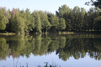
Bièvre isère - Itinéraire découverte de l’étang du marais
5.3km 30m 30m
Faramans
5.3km 30m 30m
Faramans

Bièvre Isère - La Combe d'Agnières
9.2km 140m 140m
Bossieu
9.2km 140m 140m
Bossieu
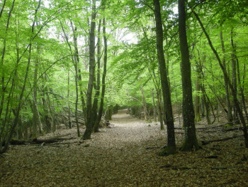
Bièvre Isère - Petit tour en Forêt de Chambaran
18.65km 326m 326m
Roybon
18.65km 326m 326m
Roybon

Bièvre Isère - Grand tour en Forêt de Chambaran
26.6km 495m 495m
Roybon
26.6km 495m 495m
Roybon
Bièvre Isère - Le Mont d'Avalon
13.3km 440m 440m
Le Mottier
13.3km 440m 440m
Le Mottier

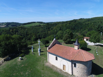
Bièvre Isère - De Faramans à la croix de Ste Béatrix
13km 210m 210m
Faramans
13km 210m 210m
Faramans
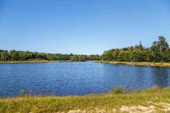
Bièvre Isère - Petit tour des étangs de Bonnevaux
18.6km 330m 320m
Bossieu
18.6km 330m 320m
Bossieu
Bièvre Isère - Le col de Mécénant
22.28km 598m 598m
Le Mottier
22.28km 598m 598m
Le Mottier
Bièvre Isère - La forêt de Bonnevaux
25.7km 480m 480m
Bossieu
25.7km 480m 480m
Bossieu
International
France
 Isère Outdoor - Liste des activités

