Vallon de la Pilatte par le Chardon - hike from Combe Noire/la Bérarde
Add to my favorites

Caution! Zone of vigilance near the route
Aigle royal - du 01/01/2026 au 31/08/2026 In progress
Aigle royal - du 01/01/2026 au 31/08/2026 In progress
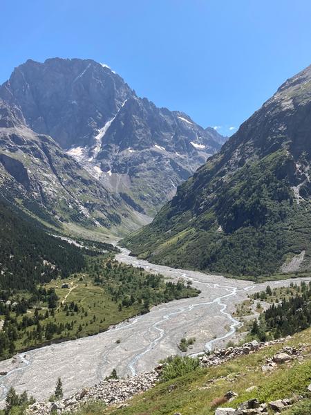
Lovely loop at the foot of the Ecrins and Ailefroide.
The characteristics of the route.

Saint-Christophe-en-Oisans (38)
- Distance 19.43 km
- Elevation gain 640 m
- Elevation lost 640 m
- Min. elevation 1654 m
- Max. elevation. 2159 m
- Duration (depending on pace) 8h
- Marking Yes
TECHNICAL INFORMATION
Start: Combe Noire / la Bérarde
Ascent: 500 m
Duration: 8 h loop
Distance: 19 km
Level :
Difficult hike
MAP AND TOPO
IGN Top 25 map n°3436 ET
Topo map OBP n°5 (Oisans au Bout des Pieds), trail 560-556-554
"YOU ARE HIKING IN THE HEART OF THE ECRINS NATIONAL PARK
The Écrins massif is an exceptional area, open to all, with a rare natural, cultural and landscape heritage. To protect these treasures, the heart of the park is marked with blue-white-red painted flags, where regulations must be respected. Please take note of them when preparing your hike to preserve this collective asset on the ecrins-parcnational.fr website."
ITINERARY
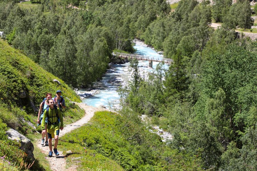
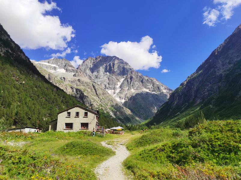
From the shuttle bus stop, follow the road to the tourist office reception area, cross the bridge and continue along the left bank of the Vénéon. The path climbs steadily up to the Chardon valley. Look around you, chamois are the masters here. The Écrins with its bar and the Ailefroide face you in all their might.
It's time to set off again, there's still a long way to go. Entering the vallon de la Pilatte, the atmosphere changes from the vegetation of the vallon du Chardon to the mineral environment, with the imposing mountains on either side and above us.
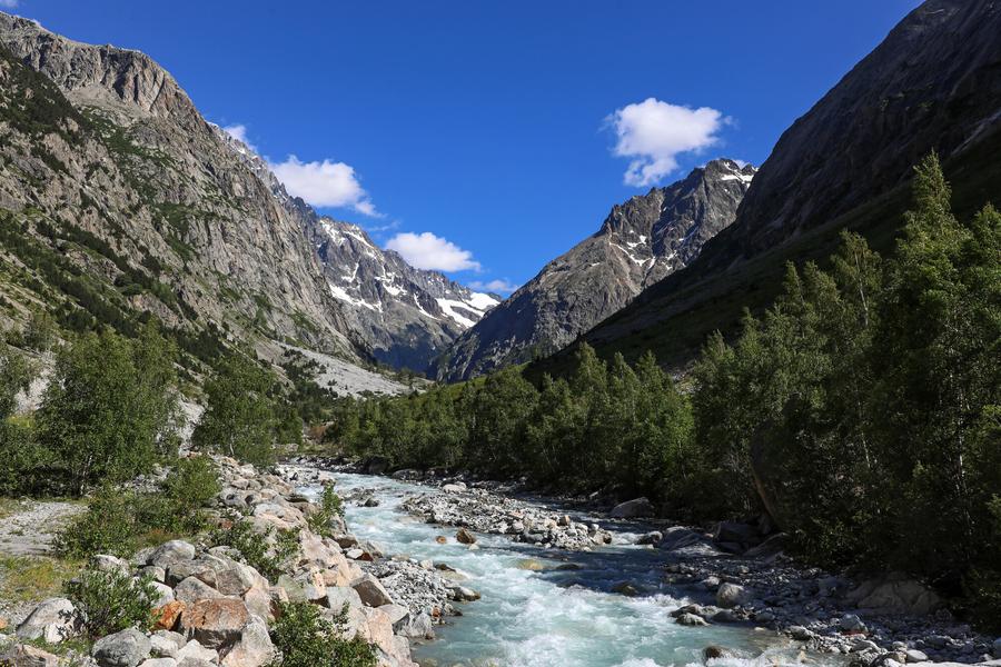
Once you've reached the bottom of the valley, the return journey along the right bank of the Vénéon is much easier, between forest and pasture.
THINGS TO SEE ALONG THE WAY
Rhododendrons, gentians and many other mountain flowers can be seen in the alpine meadow. The
chamois and marmots are not far away: you just need to sharpen your senses to see or hear them.Admission fee : Free access.Opening : From 15/05 to 31/10 daily.
Start: Combe Noire / la Bérarde
Ascent: 500 m
Duration: 8 h loop
Distance: 19 km
Level :
Difficult hike
MAP AND TOPO
IGN Top 25 map n°3436 ET
Topo map OBP n°5 (Oisans au Bout des Pieds), trail 560-556-554
"YOU ARE HIKING IN THE HEART OF THE ECRINS NATIONAL PARK
The Écrins massif is an exceptional area, open to all, with a rare natural, cultural and landscape heritage. To protect these treasures, the heart of the park is marked with blue-white-red painted flags, where regulations must be respected. Please take note of them when preparing your hike to preserve this collective asset on the ecrins-parcnational.fr website."
ITINERARY
From the shuttle bus stop, follow the road to the tourist office reception area, cross the bridge and continue along the left bank of the Vénéon. The path climbs steadily up to the Chardon valley. Look around you, chamois are the masters here. The Écrins with its bar and the Ailefroide face you in all their might.
It's time to set off again, there's still a long way to go. Entering the vallon de la Pilatte, the atmosphere changes from the vegetation of the vallon du Chardon to the mineral environment, with the imposing mountains on either side and above us.
Once you've reached the bottom of the valley, the return journey along the right bank of the Vénéon is much easier, between forest and pasture.
THINGS TO SEE ALONG THE WAY
Rhododendrons, gentians and many other mountain flowers can be seen in the alpine meadow. The
chamois and marmots are not far away: you just need to sharpen your senses to see or hear them.Admission fee : Free access.Opening : From 15/05 to 31/10 daily.
Area : Oisans
Report a problem
Features of the application :
- Location and orientation on detailed maps thanks to the GPS of your smartphone
- Description of routes and points of interest on the route
- Photo gallery by route
- Detailed elevation profile
- Route tracking alert to warn you if you stray from the route
- Send predefined messages by SMS to your contacts
- Emergency module: trigger a call or send an emergency SMS in case of problem
- Agenda: access to events organized in the department
- News: find in the application the latest news on the web portal
- Adding achievements
- Add reports in case of problems encountered on the routes
- Share on social networks
Add your time and share your feelings
Services nearby

Tourist office of La Bérarde
Saint-Christophe-en-Oisans - La Bérarde

Chalet Alpin de la Bérarde
Saint-Christophe-en-Oisans - La Bérarde
Mountain hut le Soreiller
Saint-Christophe-en-Oisans - La Bérarde
Refuge du Châtelleret
Saint-Christophe-en-Oisans - La Bérarde
Refuge de la Selle
Saint-Christophe-en-Oisans - La Bérarde




Follow us on
the digital trails
the digital trails





The Isère Outdoor application was created
by the Département de l'Isère
Infos & contact
Conseil départemental de l'Isère
7 rue Fantin Latour
CS 41096
38 022 Grenoble cedex 1
Tel. 04 76 00 38 38
 Isère Outdoor - Parcours - Vallon de la Pilatte par le Chardon - hike from Combe Noire/la Bérarde
Hello, world! This is a toast message.
Isère Outdoor - Parcours - Vallon de la Pilatte par le Chardon - hike from Combe Noire/la Bérarde
Hello, world! This is a toast message.
Isère Outdoor - Parcours - Vallon de la Pilatte par le Chardon - hike from Combe Noire/la Bérarde
Hello, world! This is a toast message.



OK
Annuler