Circuit 2 : St Marcellin aux portes du Vercors
Add to my favorites

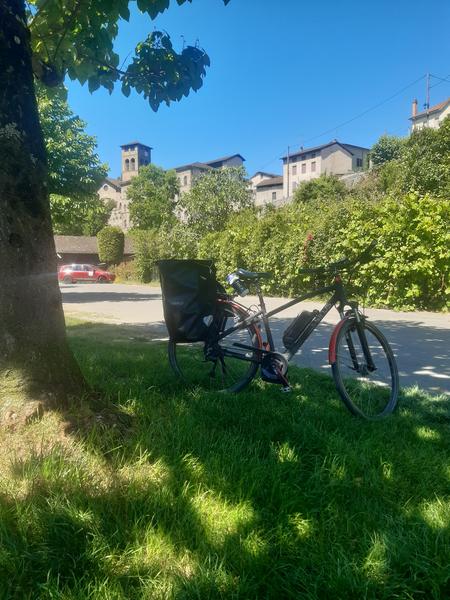
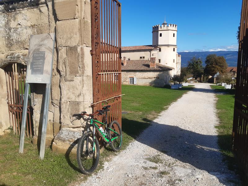
Entre plaines agricoles, noyeraies et vues dégagées sur le Vercors, ce circuit accessible emprunte de petites routes tranquilles, idéales pour découvrir les paysages autour de Saint-Marcellin, tout en profitant d’un patrimoine naturel et culturel riche.
The characteristics of the route.

Saint-Marcellin (38)
- Distance 34.73 km
- Elevation gain 460 m
- Elevation lost 460 m
- Min. elevation 160 m
- Max. elevation. 301 m
- Marking Yes
Features of the application :
- Location and orientation on detailed maps thanks to the GPS of your smartphone
- Description of routes and points of interest on the route
- Photo gallery by route
- Detailed elevation profile
- Route tracking alert to warn you if you stray from the route
- Send predefined messages by SMS to your contacts
- Emergency module: trigger a call or send an emergency SMS in case of problem
- Agenda: access to events organized in the department
- News: find in the application the latest news on the web portal
- Adding achievements
- Add reports in case of problems encountered on the routes
- Share on social networks
Add your time and share your feelings
Services nearby

Bureau d'Information touristique de Saint-Marcellin
Saint-Marcellin

Le Couvent des Carmes
Beauvoir-en-Royans

Foyer de ski de fond de Presles
Presles

Espace Naturel Sensible des gorges du Nan
Cognin-les-Gorges
Musée de Saint-Antoine-l'Abbaye
Saint-Antoine-l'Abbaye


Information updated on 2026-03-11 by Office de Tourisme de Saint-Marcellin Vercors Isère


Follow us on
the digital trails
the digital trails


![]()
The Isère Outdoor application was created
by the Département de l'Isère
Infos & contact
Conseil départemental de l'Isère
7 rue Fantin Latour
CS 41096
38 022 Grenoble cedex 1
Tel. 04 76 00 38 38
 Isère Outdoor - Parcours - Circuit 2 : St Marcellin aux portes du Vercors
Hello, world! This is a toast message.
Isère Outdoor - Parcours - Circuit 2 : St Marcellin aux portes du Vercors
Hello, world! This is a toast message.
Isère Outdoor - Parcours - Circuit 2 : St Marcellin aux portes du Vercors
Hello, world! This is a toast message.


OK
Annuler