Le Chemin du Patrimoine
Add to my favorites

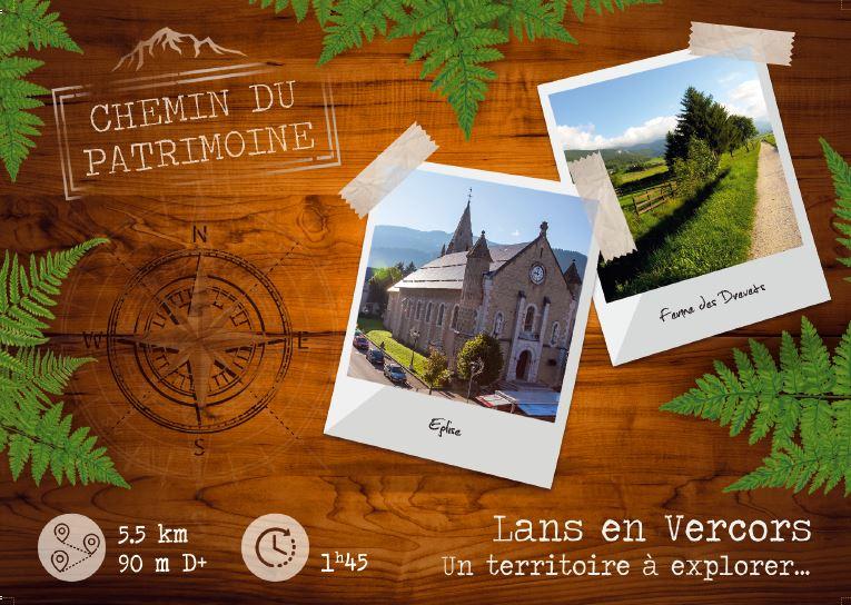
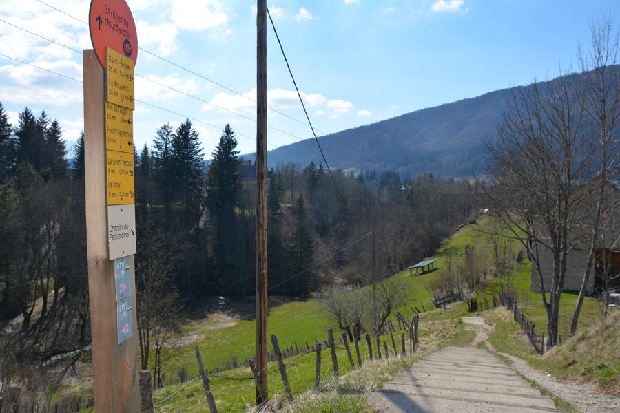
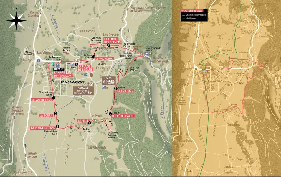
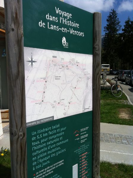
A signposted route around the village, featuring 9 educational interpretation points (e.g. the age of the glaciers, the Middle Ages). This tour provides the key to understanding the historical and natural evolution of Lans-en-Vercors.
The characteristics of the route.

Lans-en-Vercors (38)
- Distance 5.64 km
- Elevation gain 170 m
- Elevation lost 170 m
- Min. elevation 995 m
- Max. elevation. 1108 m
- Duration (depending on pace) 1h15
- Marking Yes
Features of the application :
- Location and orientation on detailed maps thanks to the GPS of your smartphone
- Description of routes and points of interest on the route
- Photo gallery by route
- Detailed elevation profile
- Route tracking alert to warn you if you stray from the route
- Send predefined messages by SMS to your contacts
- Emergency module: trigger a call or send an emergency SMS in case of problem
- Agenda: access to events organized in the department
- News: find in the application the latest news on the web portal
- Adding achievements
- Add reports in case of problems encountered on the routes
- Share on social networks
Add your time and share your feelings
Services nearby

OTI Vercors - Bureau d'information touristique de Lans en Vercors
Lans-en-Vercors

Auberge des Allières
Lans-en-Vercors

Foyer de ski de fond de Méaudre
Autrans-Méaudre en Vercors
Gite d'alpage de la Molière
Engins
OTI Vercors - Bureau d'informations de Méaudre
Autrans-Méaudre en Vercors


Information updated on 2026-02-10 by Office de Tourisme Intercommunal du Vercors


Follow us on
the digital trails
the digital trails


![]()
The Isère Outdoor application was created
by the Département de l'Isère
Infos & contact
Conseil départemental de l'Isère
7 rue Fantin Latour
CS 41096
38 022 Grenoble cedex 1
Tel. 04 76 00 38 38
 Isère Outdoor - Parcours - Le Chemin du Patrimoine
Hello, world! This is a toast message.
Isère Outdoor - Parcours - Le Chemin du Patrimoine
Hello, world! This is a toast message.
Isère Outdoor - Parcours - Le Chemin du Patrimoine
Hello, world! This is a toast message.


OK
Annuler