From one treasure to another : nature walks around the Courtenay ponds
Add to my favorites

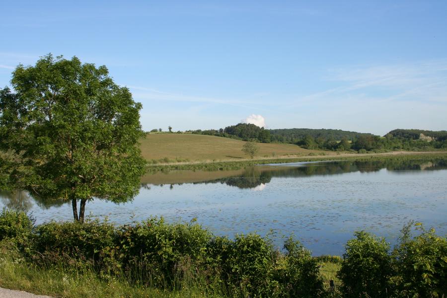
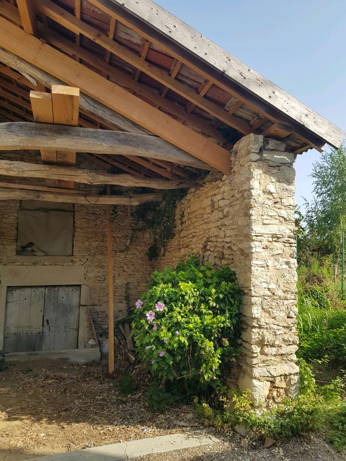
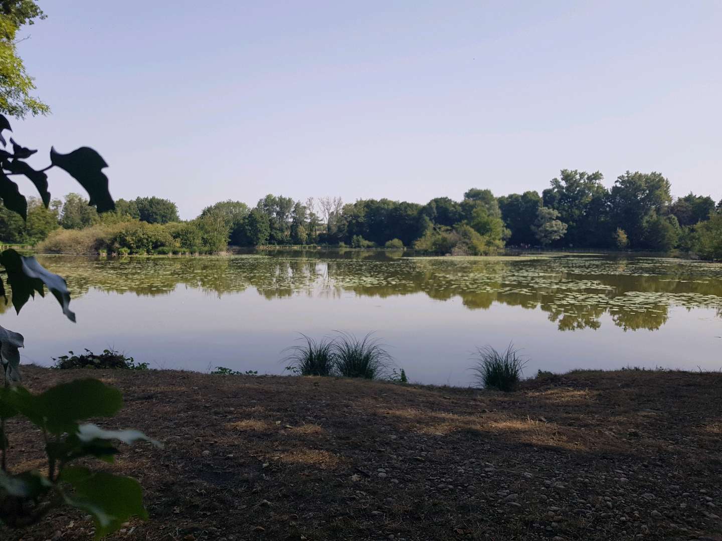
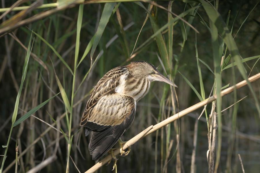
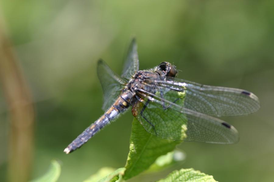
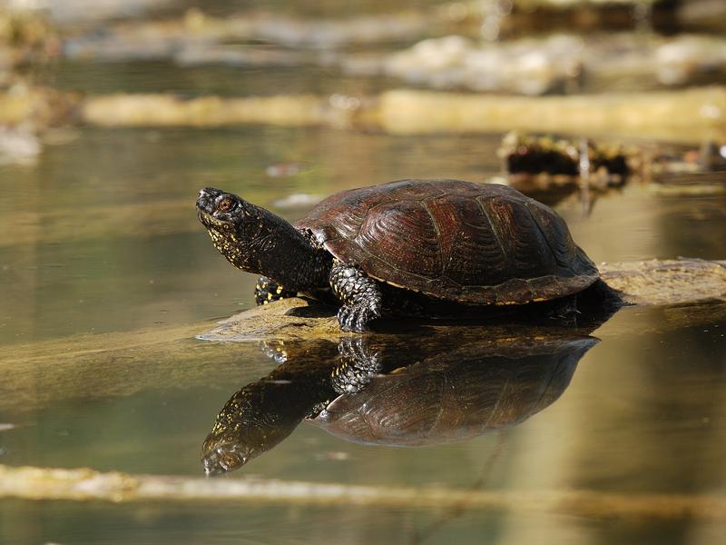
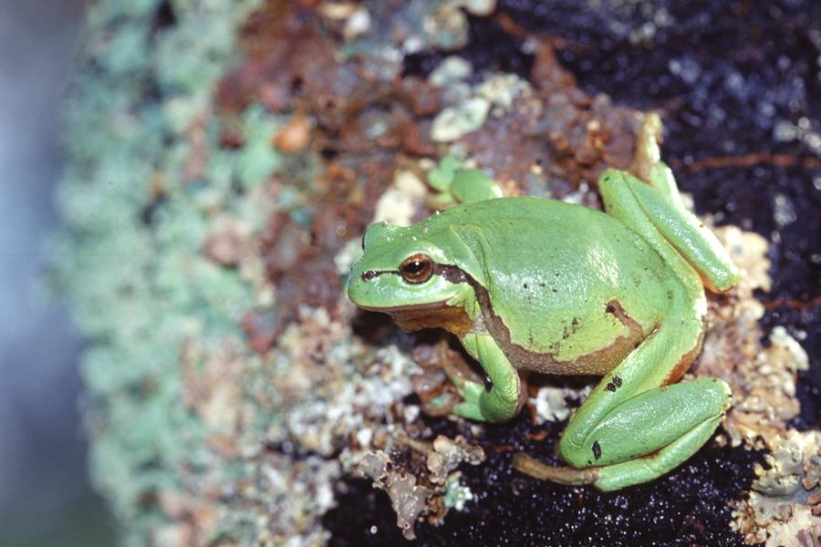
This walk is a true immersion in nature. From the Salette pond to the shady paths of Billonnay, passing through the hamlet of Tirieu with its remarkable buildings, the route reveals small ponds and superb panoramas of the Alps.
The characteristics of the route.

Courtenay (38)
- Distance 9.4 km
- Elevation gain 130 m
- Elevation lost 130 m
- Min. elevation 259 m
- Max. elevation. 347 m
- Marking Yes
Admission fee : Free access.Opening : All year round.
Subject to favorable weather.Step by step description : 1- From the car park, take the road to the left, and stay on the right at the next crossing. Go around the big farm, the road rises gently.
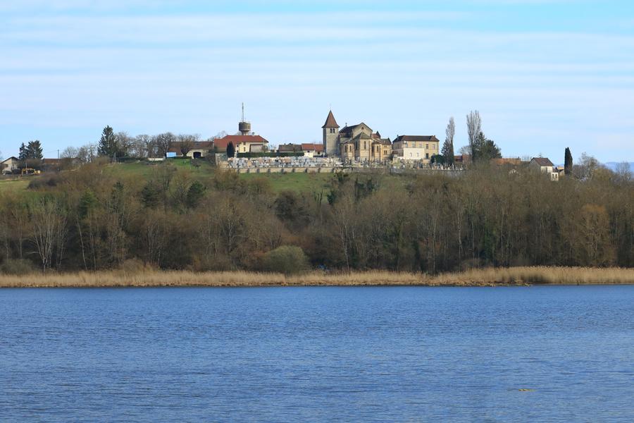
Very nice view on the pond of Salette and on the village of Courtenay.
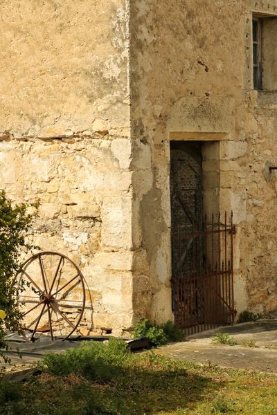
After passing the few houses in Fézillère, you come to the hamlet of Piarday.
2- Turn left towards the Billonnay ponds. A little further on, leave the road and continue straight ahead on a wide track as far as the ‘Étangs de Billonnay’ sign. Go left into the woods towards Pré Pelat.
Open out onto a meadow, then walk down the path, which is stony in places, and continue until you come to a fork in the road.
There is a beautiful panoramic view of the Alps.
Leave the track on the right and take the path on the left as far as the road. Cross the road to take the path opposite. After 50 m, fork left onto the track and follow it as far as the ‘Pré Pelat’ sign.
Continue to take the road down to Tirieu.
3- At the first houses, cross the crossroads and take the Chemin du Ru. At the ‘Tirieu’ signpost, follow the signs for the Salette pond. At the fountain, keep right.
Then take the Chemin des Verchères on the left. At the last house, the road becomes a track. After a slight climb, fork left 300 m further on. Continue until you reach
At a milestone, turn left and the track follows the edge of the wood. Turn left as you enter the wood.
Continue through the meadows until you reach the road, which you follow to the right. At the first track, turn left towards the By pond. Walk alongside the pond until you reach the road, which you follow to the right until you reach the Chemin de la Salette, which takes you back to the car park.
Area : Balcons du Dauphiné
Report a problem
Website Features of the application :
- Location and orientation on detailed maps thanks to the GPS of your smartphone
- Description of routes and points of interest on the route
- Photo gallery by route
- Detailed elevation profile
- Route tracking alert to warn you if you stray from the route
- Send predefined messages by SMS to your contacts
- Emergency module: trigger a call or send an emergency SMS in case of problem
- Agenda: access to events organized in the department
- News: find in the application the latest news on the web portal
- Adding achievements
- Add reports in case of problems encountered on the routes
- Share on social networks
Tilius
finished in 02:05:00
The 2025/08/13
En savoir plus
Ajouter votre chrono et partager vos sensations
Services nearby

Salette Lake
Courtenay
Save Sensitive Natural Area, étangs de Passins lakes sector
Arandon-Passins
Etang de Lemps sensitive natural area
Optevoz

Crémieu - Balcons du Dauphine Tourist Information Office
Crémieu
Saint-Chef - Balcons du Dauphine Tourist Information Office
Saint-Chef


Information updated on 2025-03-12 by Office du Tourisme Les Balcons du Dauphiné


Follow us on
the digital trails
the digital trails


![]()
The Isère Outdoor application was created
by the Département de l'Isère
Infos & contact
Conseil départemental de l'Isère
7 rue Fantin Latour
CS 41096
38 022 Grenoble cedex 1
Tel. 04 76 00 38 38
 Isère Outdoor - Parcours - From one treasure to another : nature walks around the Courtenay ponds
Hello, world! This is a toast message.
Isère Outdoor - Parcours - From one treasure to another : nature walks around the Courtenay ponds
Hello, world! This is a toast message.
Isère Outdoor - Parcours - From one treasure to another : nature walks around the Courtenay ponds
Hello, world! This is a toast message.


OK
Annuler